
Hardscrabble Saddle
|
Hardscrabble Saddle |
Hardscrabble Saddle - Eagle County - Colorado - 8,892 feet
Hardscrabble Gulch to west. Abrams Creek to east.
South of Gypsum via Gypsum Creek Rd, FR-8379, FR-8383.
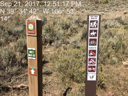
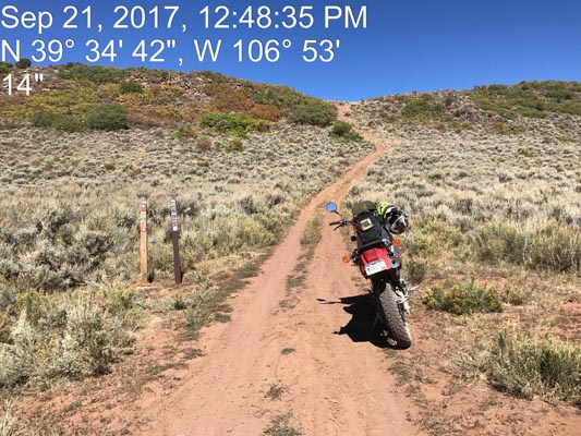
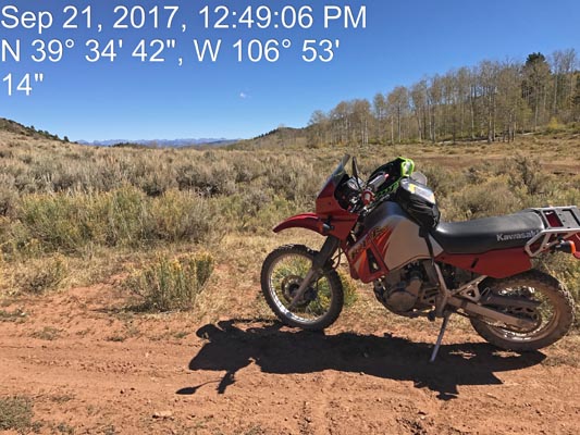
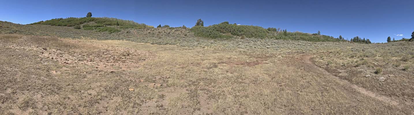
Closed by BLM short of the summit. No motorcycle access.
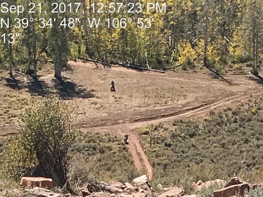
photos by Scott Westfall, 9/21/2017
Following route in yellow. |
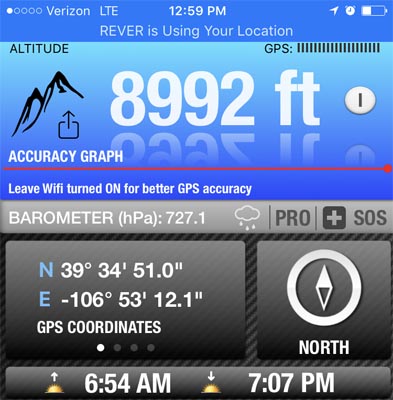
Near the summit. |
Near the summit. |
Near the summit. |

Near the summit. |

Near the summit. |
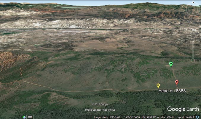
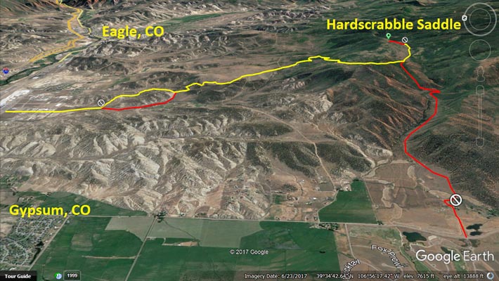
Google Earth, looking north from BLM sign (red pointer) to summit (green pointer). |
The view after hiking to the summit. |

Looking down from the summit. |
Looking down from the summit. |
At the summit. |
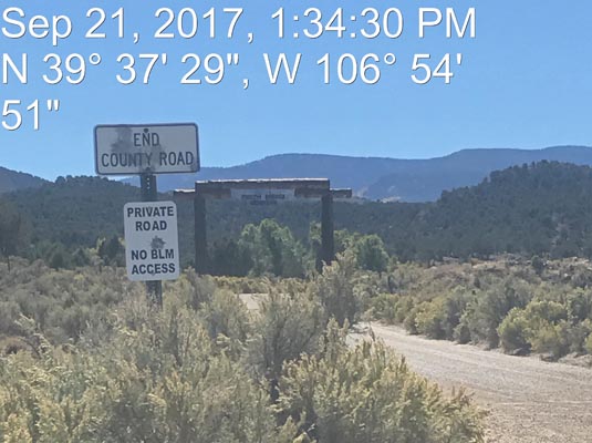
On Spring Creek Road on southeast side of Gypsum, looking south toward private road. |
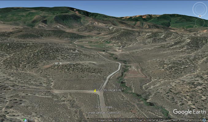
Google Earth, at 393729N 1065451W, looking south toward private road. |

Google Maps |
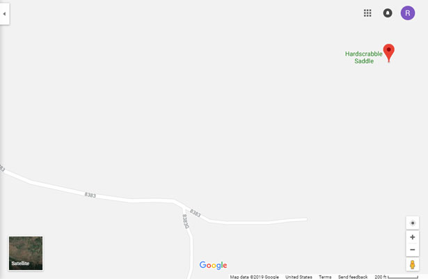
Google Maps |
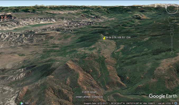
Google Earth, looking east. |
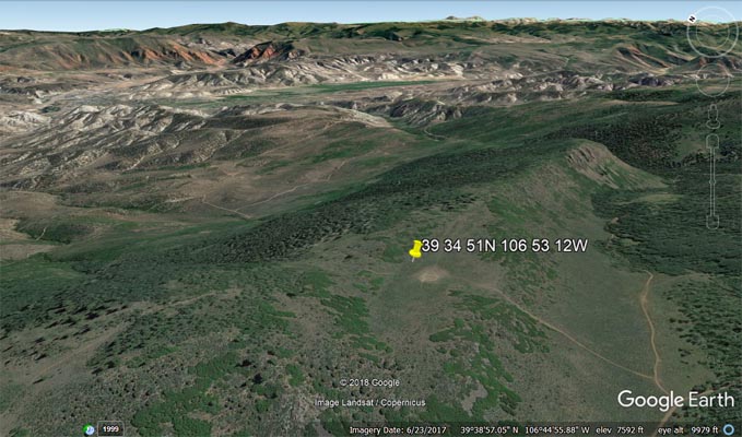
Google Earth, looking east. |
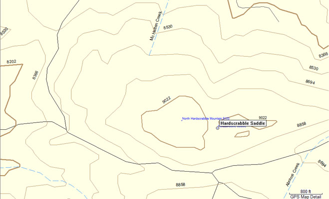
Garmin MapSource |
| Feature Name | ID | Class | County | State | Latitude | Longitude | Ele(ft) | Map | BGN Date | Entry Date |
| Hardscrabble Saddle | 195281 | Gap | Eagle | CO | 393451N | 1065314W | 9035 | Suicide Mountain | - | 13-OCT-1978 |