
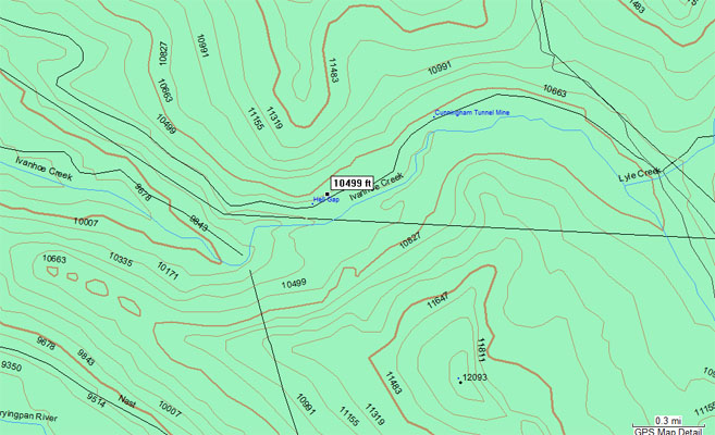
Hell Gap
|
Hell Gap |
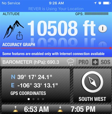
Hell Gap - Pitkin County - Colorado - 10,489 feet
Ivanhoe Creek flows through the gap.
East of Basalt and Ruedi Reservoir on Frying Pan Road (CR-4).
gravel - dual sport
photos by Scott Westfall, 9/21/18/2017
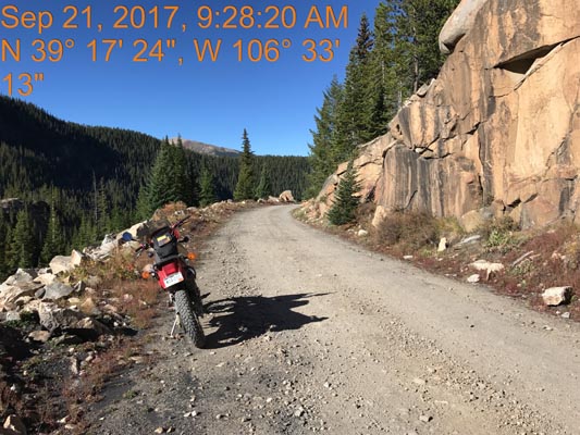
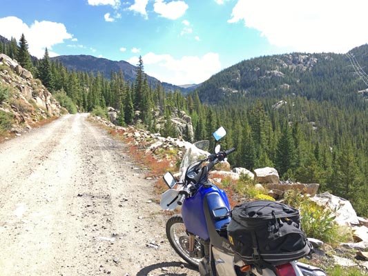
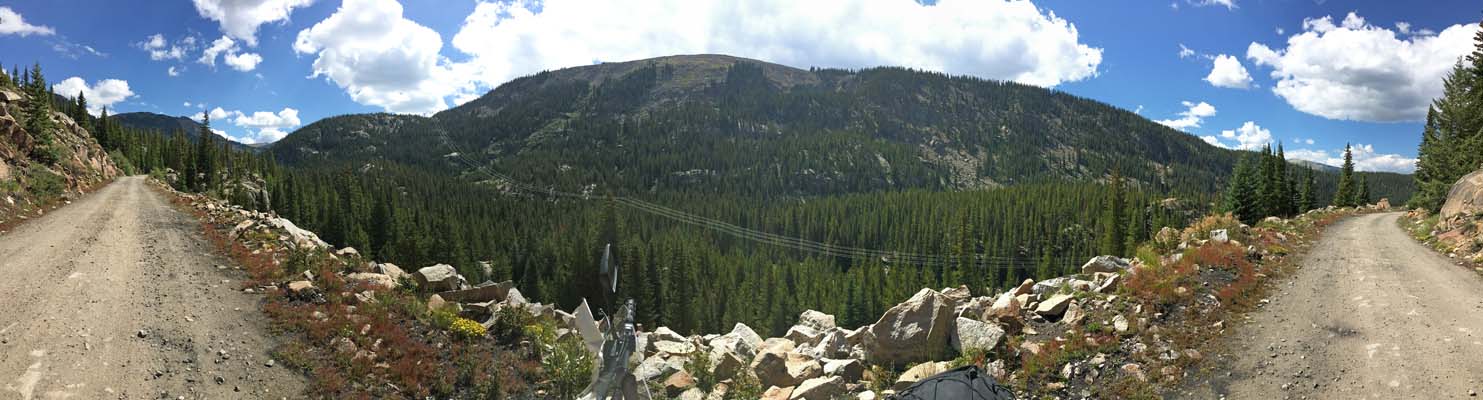
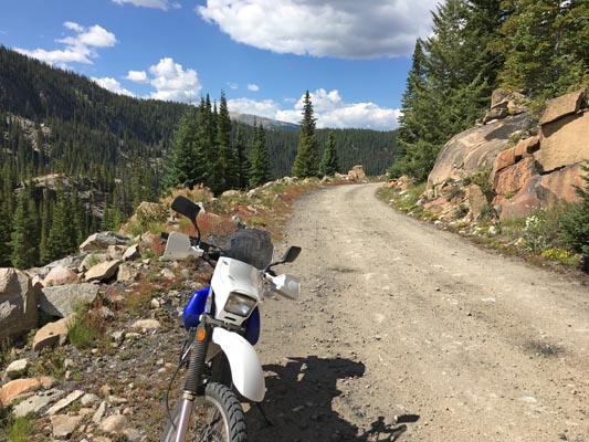
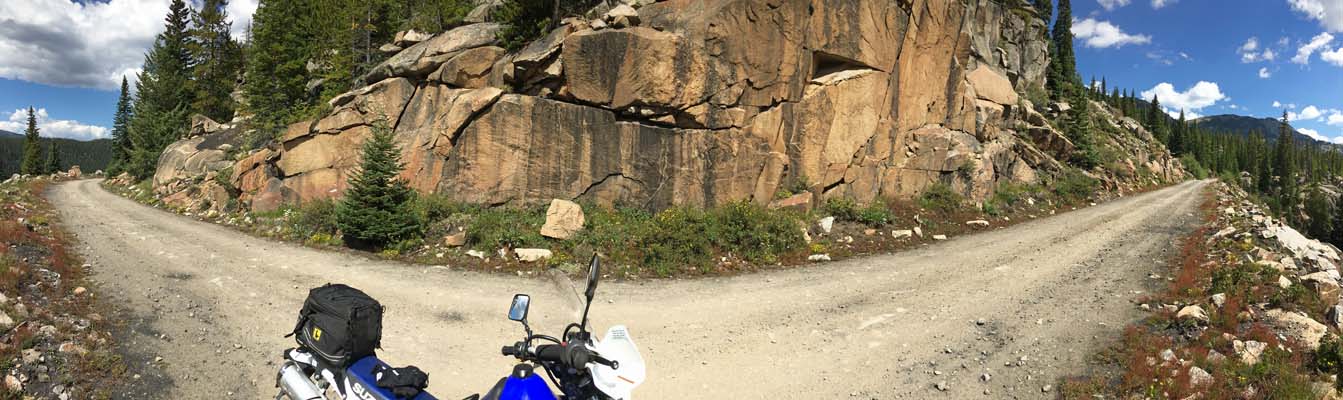
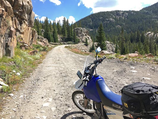
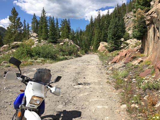
In the gap. |
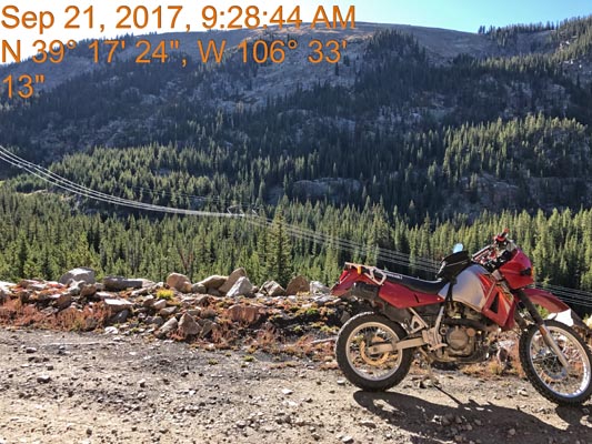
In the gap. |
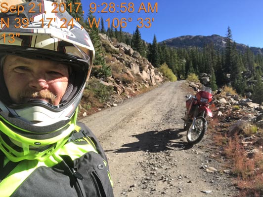
In the gap. |
In the gap. |
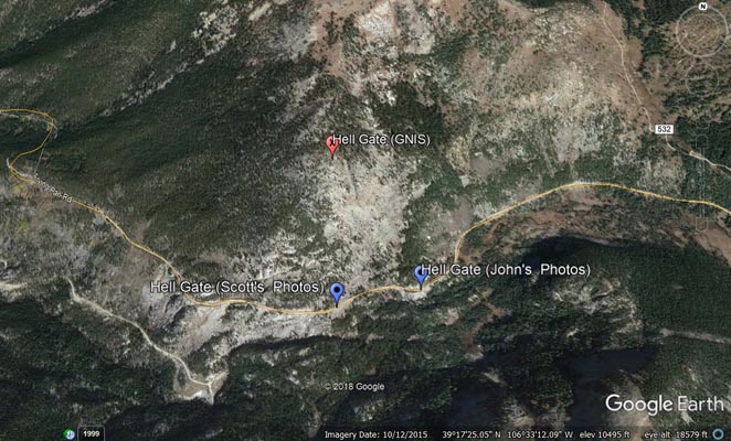
Google Earth Oblique |
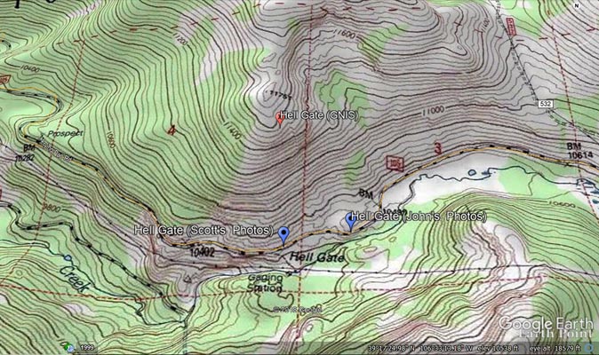
USGS Topographic |
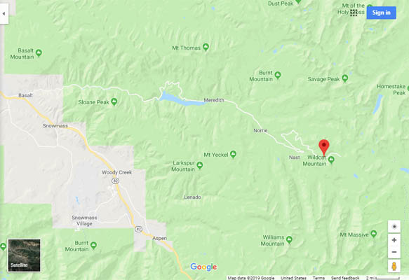
Google Maps |
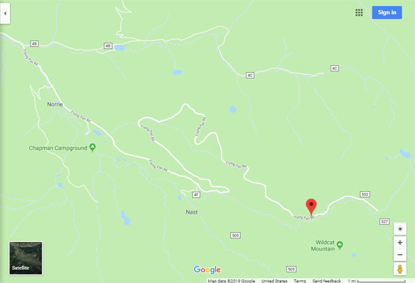
Google Maps |
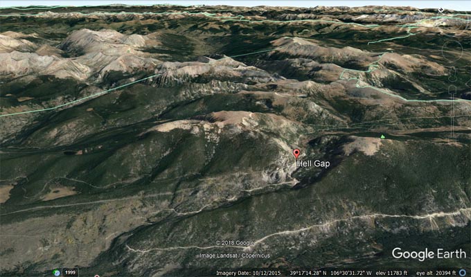
Google Earth, looking norteast. |
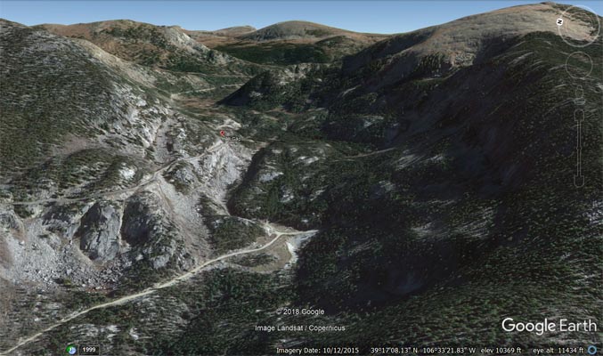
Google Earth, looking east. |
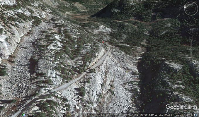
Google Earth, looking east. |
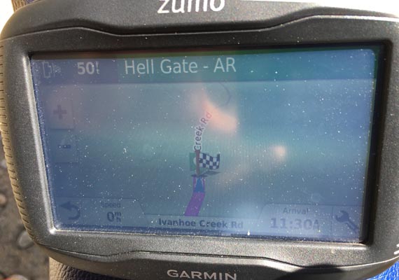
Garmin MapSource |
photos by John Meyer, 8/18/2017
In the gap. |
In the gap. |
In the gap. |
In the gap. |
In the gap. |
In the gap. |
In the gap. |
| Feature Name | ID | Class | County | State | Latitude | Longitude | Ele(ft) | Map | BGN Date | Entry Date |
| Hell Gap | 179789 | Gap | Pitkin | CO | 391742N | 1063315W | 10489 | Nast | - | 13-OCT-1978 |