
Hells Gate
|
Hells Gate |
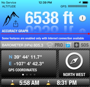
Hells Gate - Eagle County - Colorado - 6,583 feet
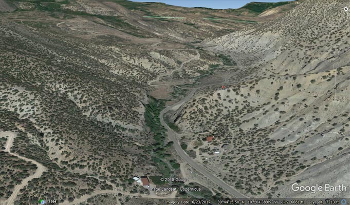
Sweetwater Creek flows through the gap.
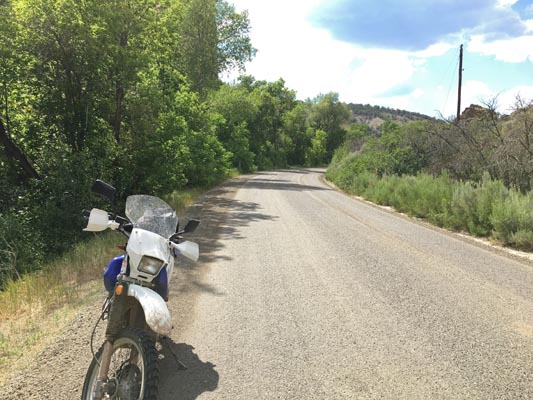
North of Dotsero via CR-301 (Colorado River Rd) and CR-40 (Sweetwater Rd)
gravel - dual sport
photos by Scott Westfall, 7/22/2018
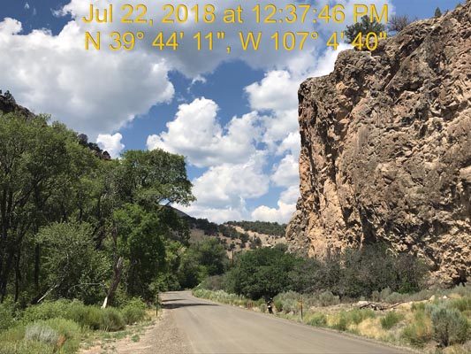
At the gap. |
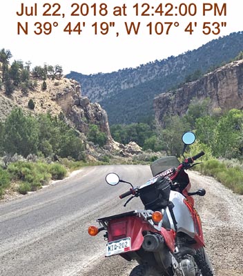
At the gap. |
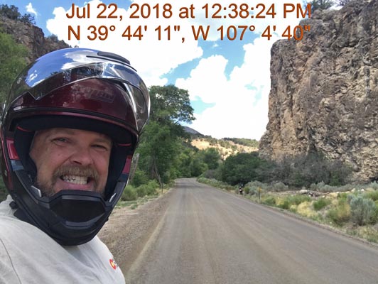
At the gap. |
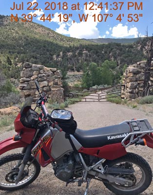
At the gap. |
At the gap. |
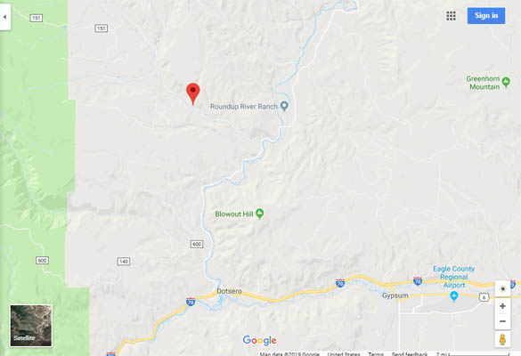
Google Maps |
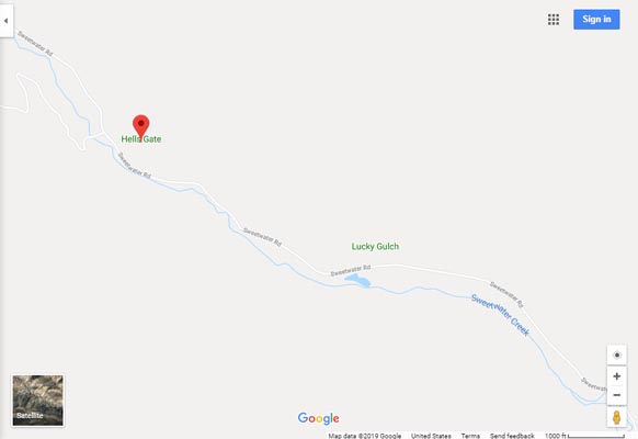
Google Maps |
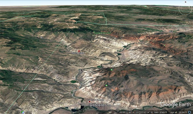
Google Earth |
Google Earth, looking west. |

Google Earth, looking east. |
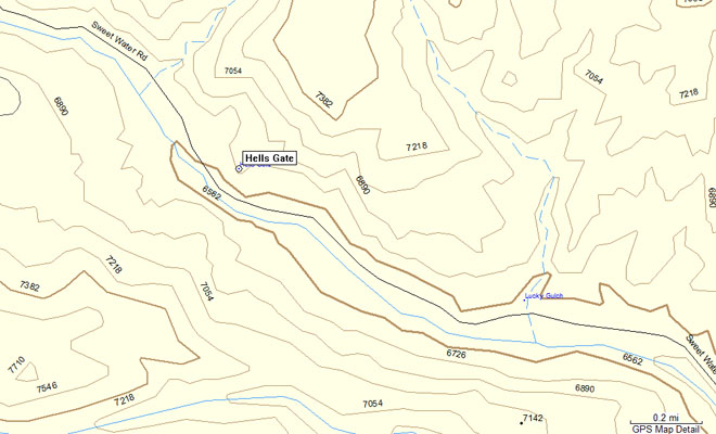
Garmin MapSource |
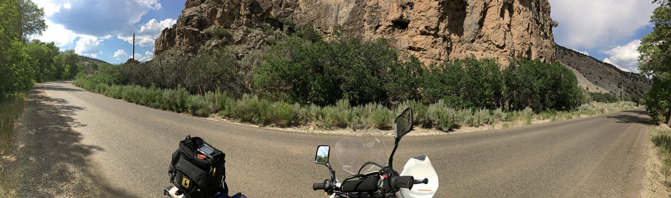
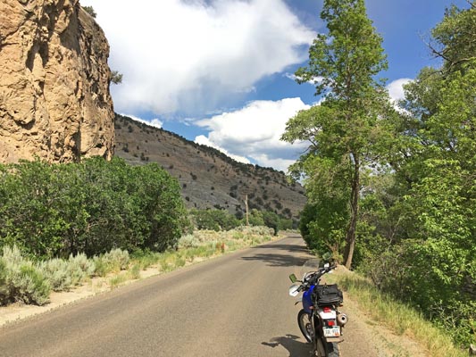
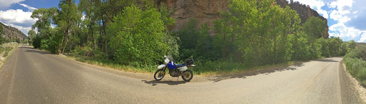
photos by John Meyer, 7/8/2017
At the gap. |
At the gap. |
At the gap. |
At the gap. |
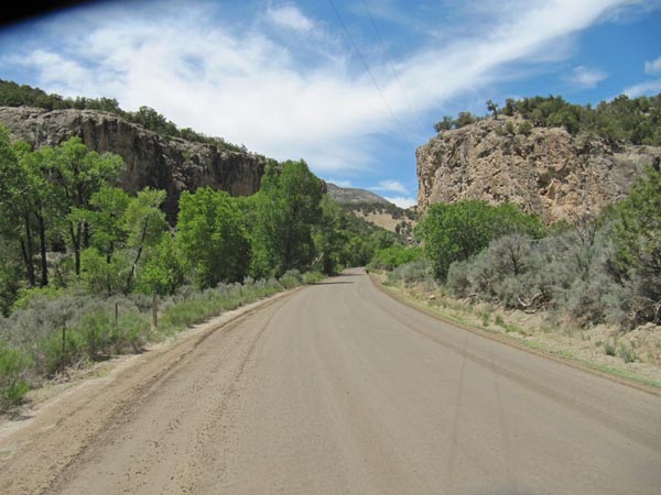
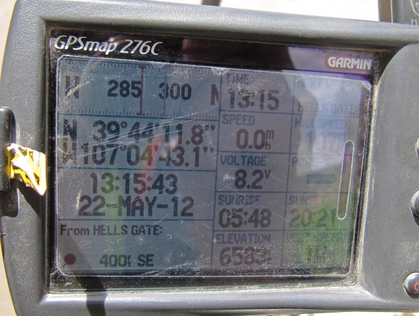
photos by Karst Postma, 5/22/2012
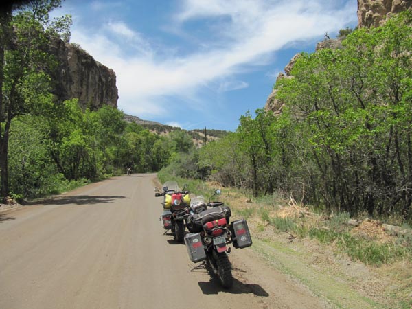
At the gap. |
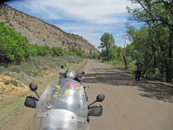
At the gap. |
At the gap. |

At the gap. |
At the gap. |
| Feature Name | ID | Class | County | State | Latitude | Longitude | Ele(ft) | Map | BGN Date | Entry Date |
| Hells Gate | 174001 | Cliff | Eagle | CO | 394417N | 1070444W | 6726 | Dotsero | - | 13-OCT-1978 |