
Hermit Pass
|
Hermit Pass |
Hermit Pass - Custer / Saguache Counties - Colorado - 13,015 feet
Rio Alto Creek to west. Middle Taylor Creek to east.
West of Westcliffe on FR-160.
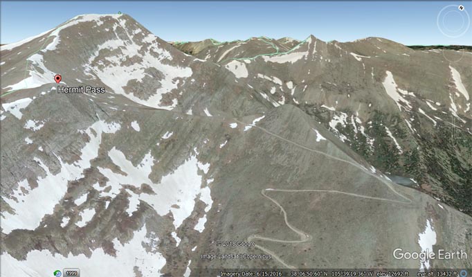
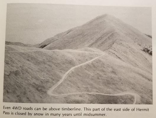
East side - dirt bike or dual sport. West side - hiking trail.
photos by John Meyer, 9/26/2018
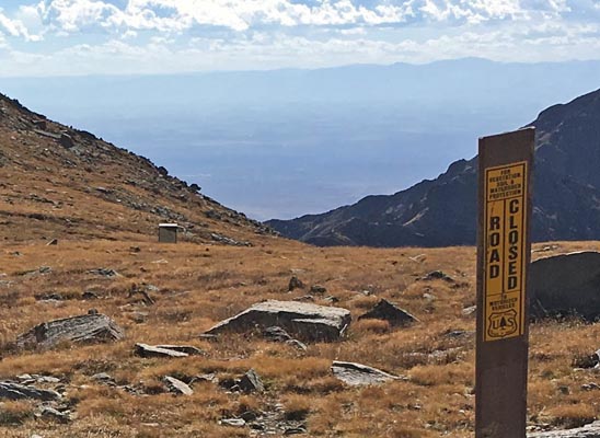
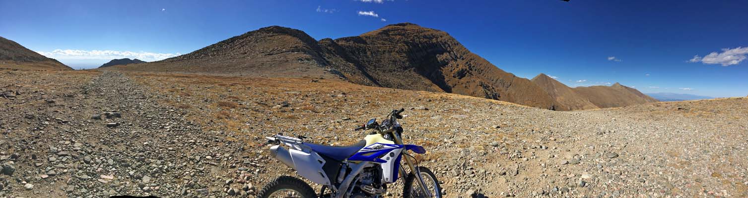
At the summit, looking west. |

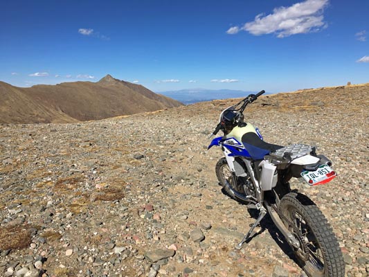
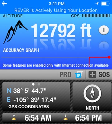
At the summit. |
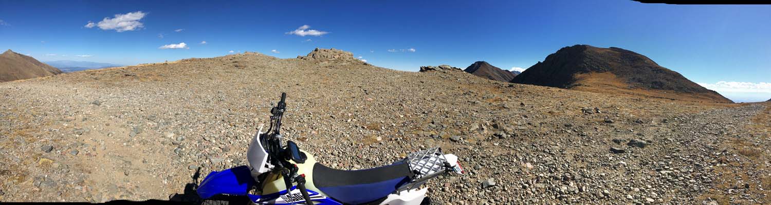
At the summit. |
At the summit. |
At the summit. |
At the summit. |
At the summit. |

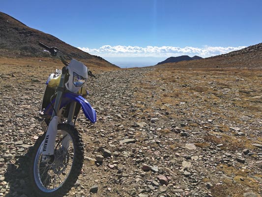
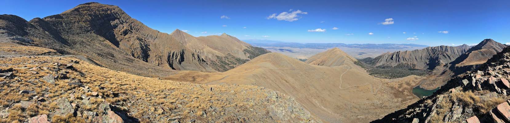
At the summit, looking east. |
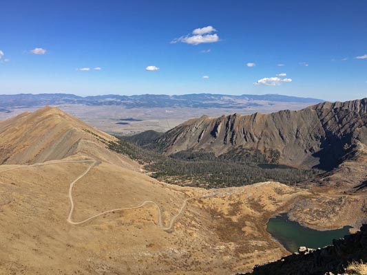
At the summit, looking east. |
At the summit, looking east. |
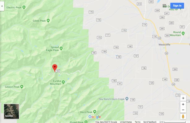
Google Maps |
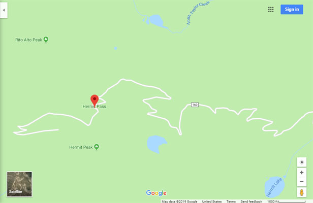
Google Maps |
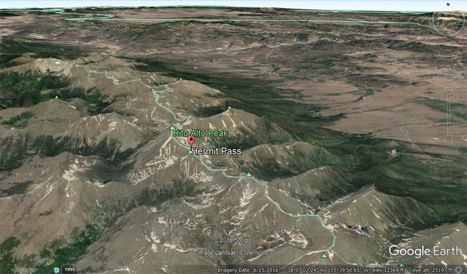
Google Earth |
Google Earth |
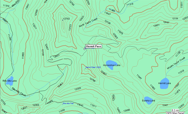
Garmin MapSource |
photo by Ed and Gloria Helmuth, 1994
At the summit, looking east. |
| Feature Name | ID | Class | County | State | Latitude | Longitude | Ele(ft) | Map | BGN Date | Entry Date |
| Hermit Pass | 191935 | Gap | Saguach | CO | 380546N | 1053919W | 13015 | Rio Alto Peak | - | 13-OCT-1978 |