
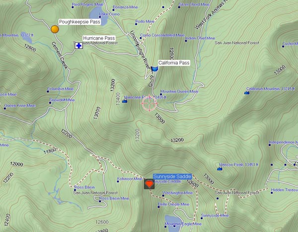
Hurricane Pass
|
Hurricane Pass |
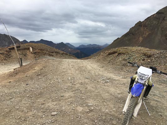
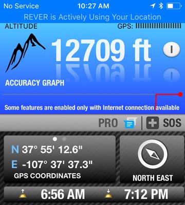
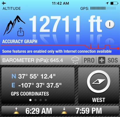
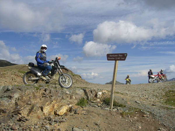
Hurricane Pass - San Juan County - Colorado - 12,710 feet
(other name - Poughkeepsie)
Uncompahgre River to west. West Fork of the Animas River to east.
West of Animas Forks, southwest of Lake Como
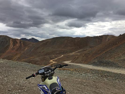
off-road - dirt bike or dual sport
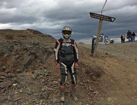
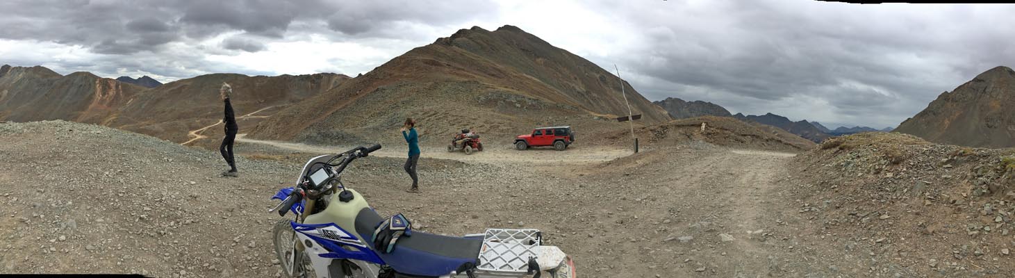
photos from John Meyer, taken 9/19/2018
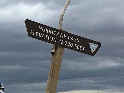
At the summit. |
At the summit. |
At the summit. |
At the summit. |
At the summit. |

At the summit. |
At the summit. |
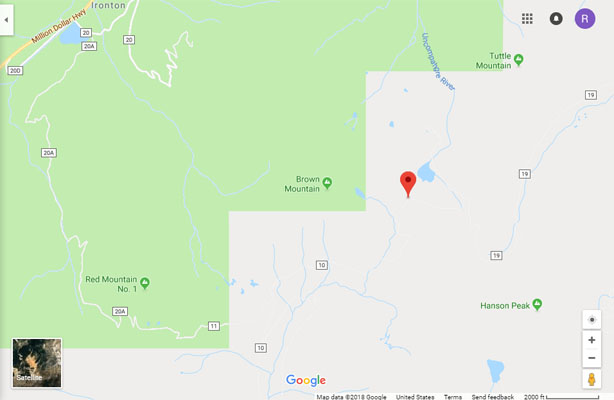
Google Maps |
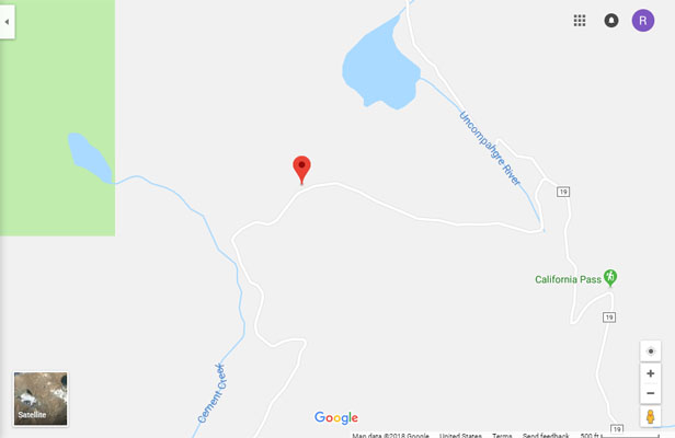
Google Maps |
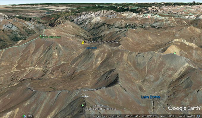
Google Earth |
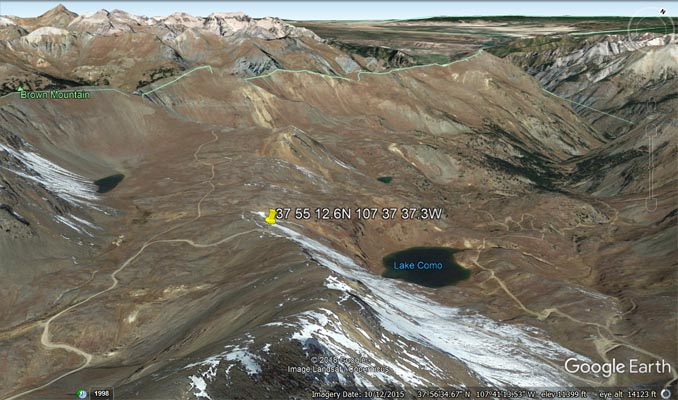
Google Earth |
Garmin MapSource |
photos from Scott Westfall, 8/19/2017; photos from Karst Postma, 7/19/2008; photo from Deward Knapp, 8/24/2006
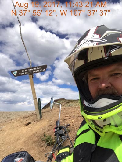
Scott at the summit. |
At the summit. |

Karst at the summit. |
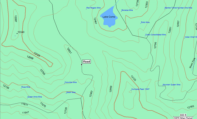
Topo map |
Deward at the summit. |
| Feature Name | ID | Class | County | State | Latitude | Longitude | Ele(ft) | Map | BGN Date | Entry Date |
| Hurricane Peak | 187381 | Summit | San Juan | CO | 375453N | 1073717W | 13435 | Handies Peak | - | 13-OCT-1978 |