
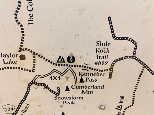
Kennebec Pass
|
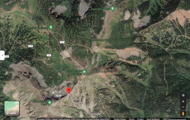
Kennebec Pass |
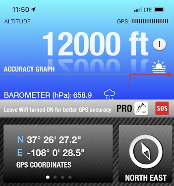
Kennebec Pass - La Plata County - Colorado - 11,740 feet
South Fork of Hermosa Creek to north. Junction Creek to south.
North of Durango on CO-124 and Colorado Trail.
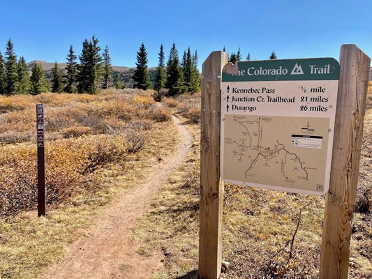
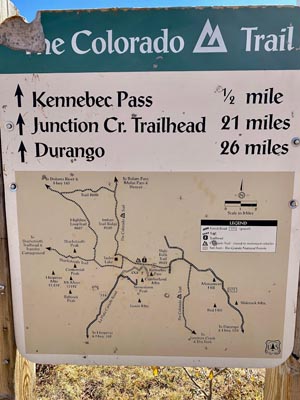
Hiking trail.
photos by John Meyer, 10/14/2020
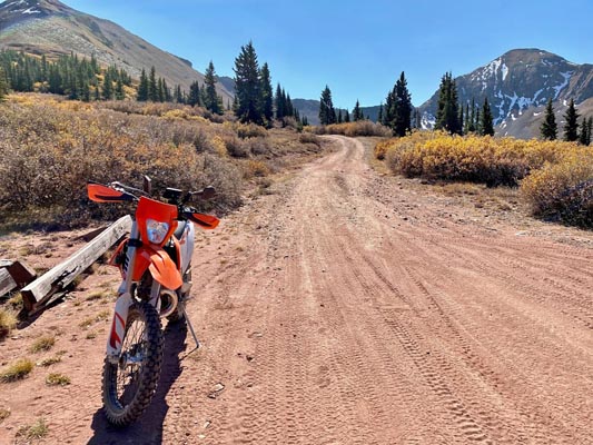
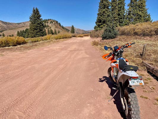
At Kennebec Trailhead on the Colorado Trail.
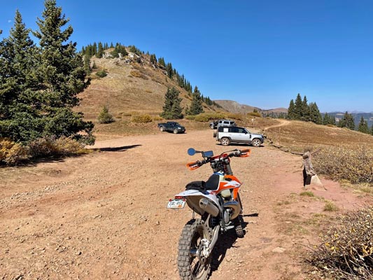
At the trailhead. |
At the trailhead. |
At the trailhead. |
At the trailhead. |
At the trailhead. |
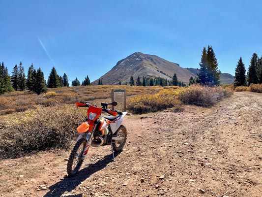
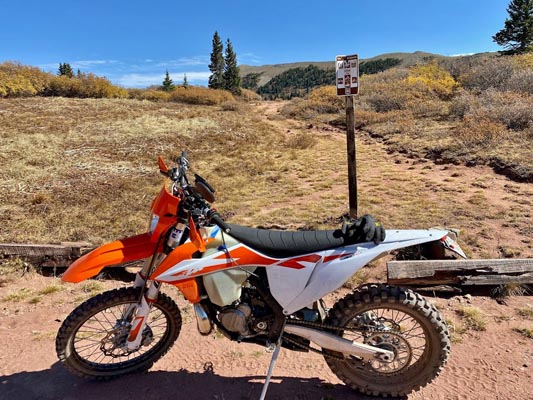
At the intersection of the trailhead to north, the summit of Kennebec Pass to east, and the road to notch to south.
Looking south toward the notch. |
Looking east toward closed road to Kennebec Pass. |
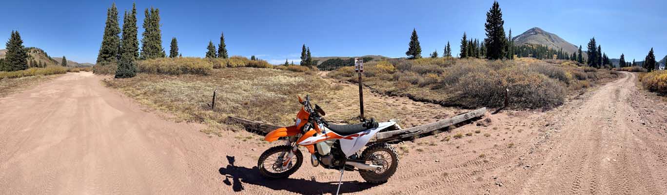
Looking east. Trailhead to left, the closed road to summit in center, and the road to notch to right. |
Looking north toward Kennebec Trailhead. |
Looking west. |
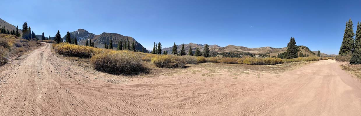
Looking west. The road to notch to left, and the Trailhead to right. |
At the intersection. |
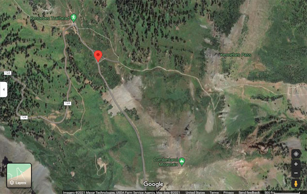
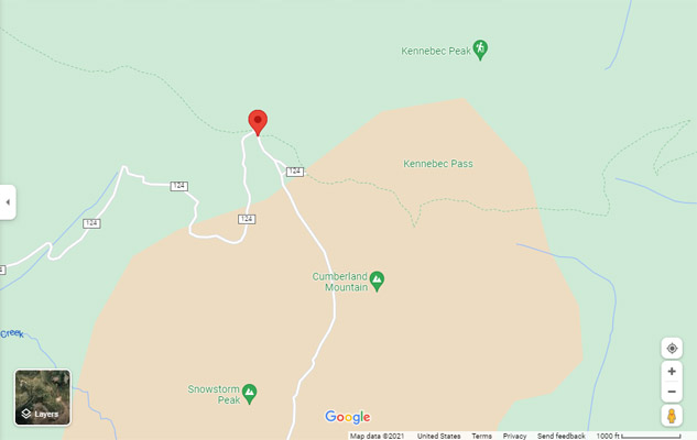
Google Maps, showing location of the intersection. |
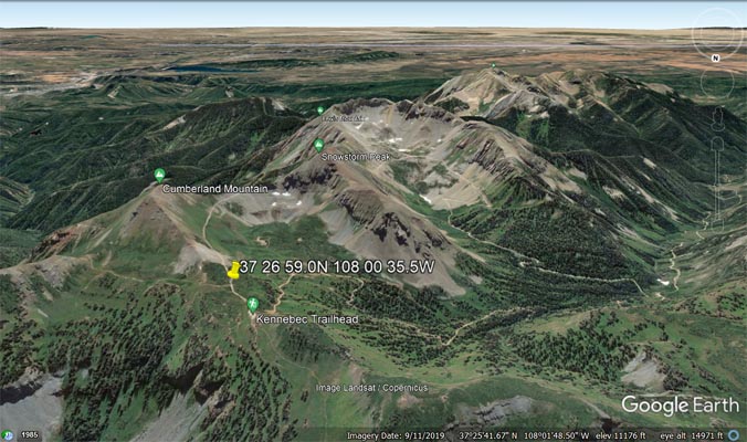
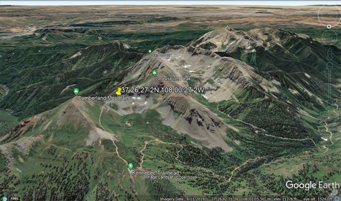
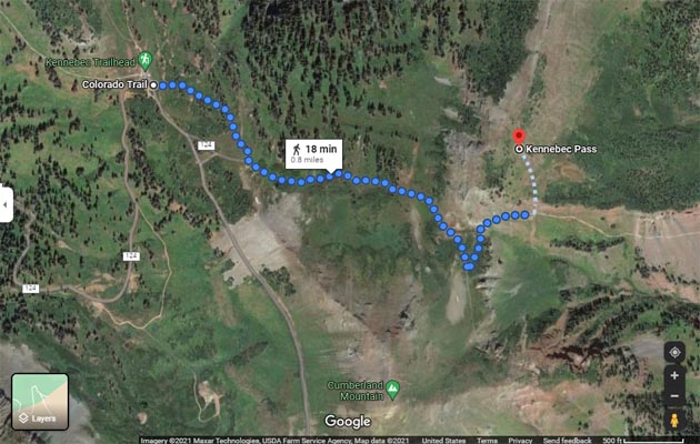
Google Earth, looking south. |
Google Earth, looking south. |
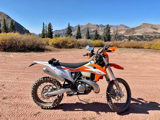
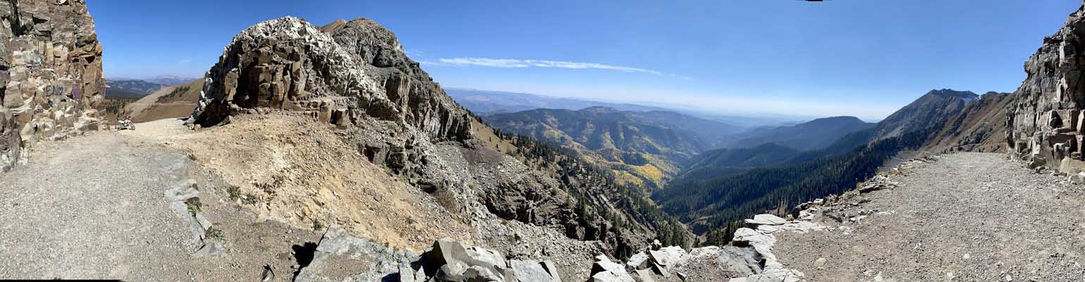
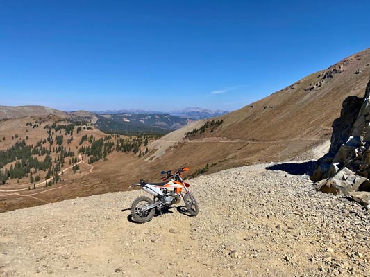
At the notch west of the summit of Kennebec Pass.
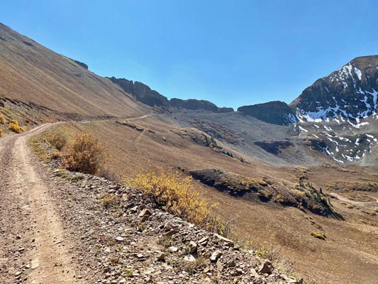
Looking south toward the notch west of Kennebec Pass. |
At the notch. |
At the notch, looking east. |
At the notch, looking north. |
At the notch. |
Google Maps, showing the location of the notch. |
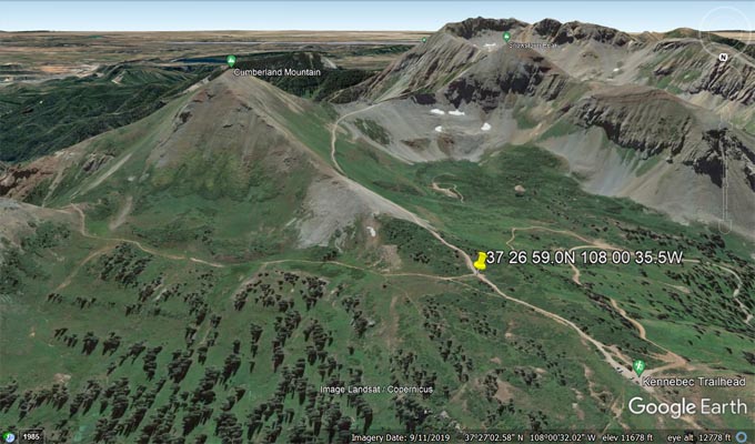
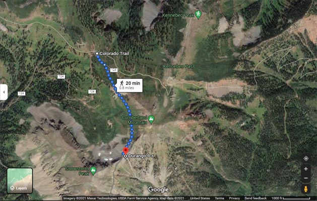
Google Earth, looking south toward the notch. |
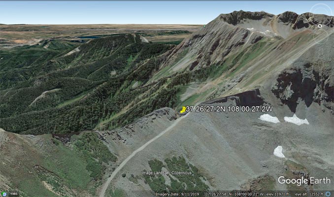
Google Earth, looking south toward the notch. |
Google Maps, pointer at Kennebec Trailhead. |
Google Maps, pointer at Kennebec Trailhead. |
Google Maps, showing trail to summit of Kennebec Pass. |
Google Maps, showing road to notch. |
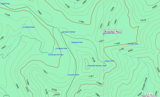
Garmin MapSource |
Notes from John Meyer: There were three options for the location of this pass.
The first is at the saddle where 571 intersects the Colorado Trail. I have photos of the sign and the parking area.
(The actual "Pass" appears to be on the Colorado Trail and not accessible by a motorized vehicle).
The next closest option is what appears to be an old (closed off) road that is about 2/10 of a mile east of the parking
area. This motorized route gets close to the "Pass", however it is not the actual pass either.
The last option, which is the most fun and gives the rider a sense of accomplishment, is riding to the end of the motorized
trail up to the top of the hill and through the cut (careful, if you go too fast, it dead ends with a big drop).
Like several passes the actual pass is a dud, (Bolam Pass comes to mind) however the top of a nearby hill is pretty
spectacular.
| Feature Name | ID | Class | County | State | Latitude | Longitude | Ele(ft) | Map | BGN Date | Entry Date |
| Kennebec Pass | 178921 | Gap | La Plata | CO | 372700N | 1080002W | 11876 | La Plata | 01-JAN-1949 | 13-OCT-1978 |
| Feature Name | ID | Class | County | State | Latitude | Longitude | Ele(ft) | Map | BGN Date | Entry Date |
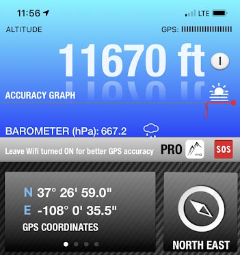
| Kennebec Trailhead | 197165 | Locale | La Plata | CO | 372701N | 1080036W | 11676 | La Plata | - | 01-DEC-1991 |
| Kennebec Mine | 1734942 | Mine | La Plata | CO | 372653N | 1075942W | 11302 | Monument Hill | - | 14-MAY-1997 |