
Kenosha Pass
|
Kenosha Pass |
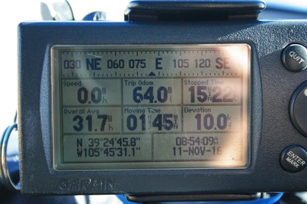
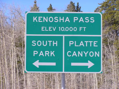
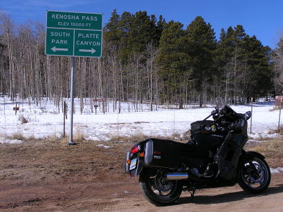
Kenosha Pass - Park County - Colorado - 10,000 feet
(other name - Ute)
Kenosha Gulch to north, Synder Creek to south.
US-285 east of Jefferson
pavement - road bike
photos by Randy Bishop, 11/11/2016
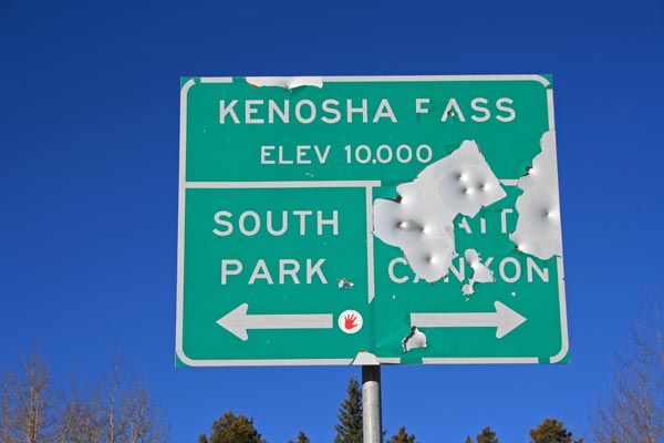
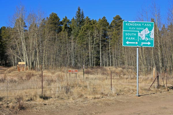
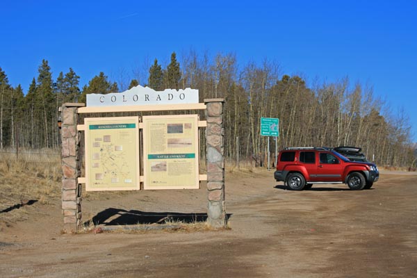
At the summit, on west side of US-285. |
At the summit, on west side of US-285. |
At the summit, on west side of US-285. |
At the summit, on west side of US-285. |
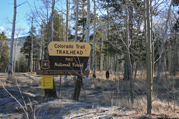
At the summit, on east side of US-285. |
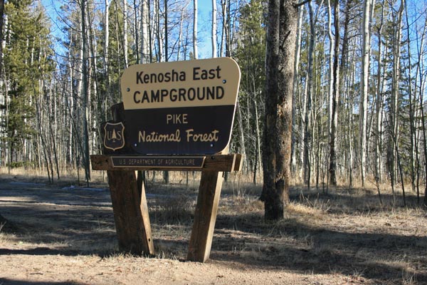
At the summit, on east side of US-285. |
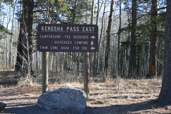
At the summit, on east side of US-285. |
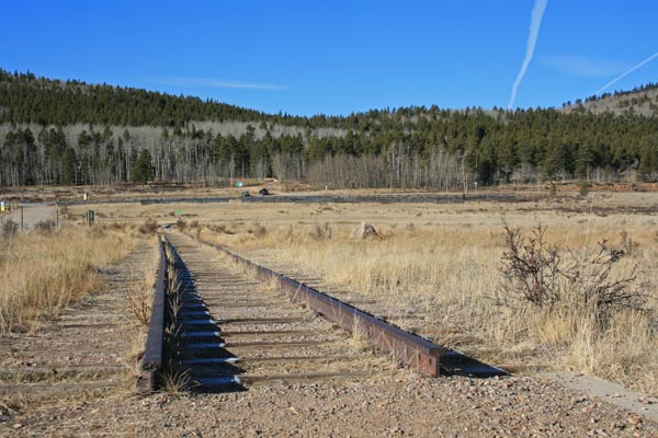
At the summit, on east side of US-285. |
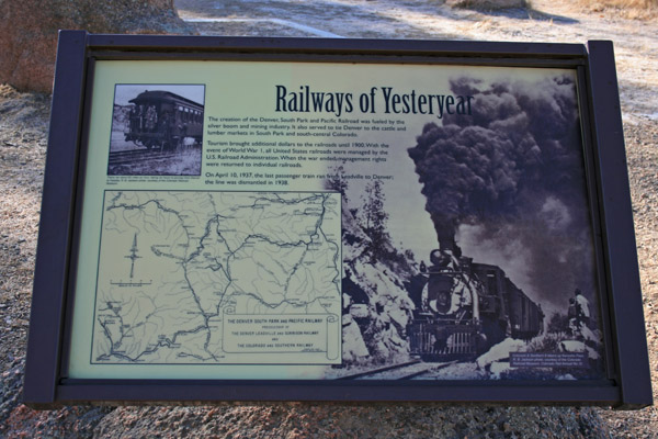
At the summit, on east side of US-285. |
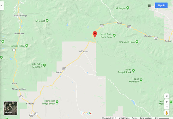
Google Maps |
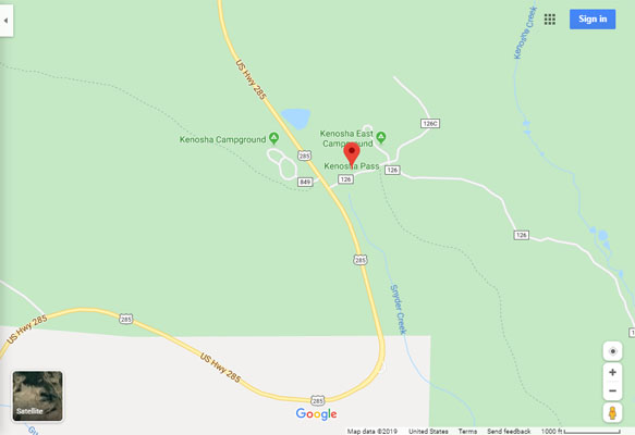
Google Maps |
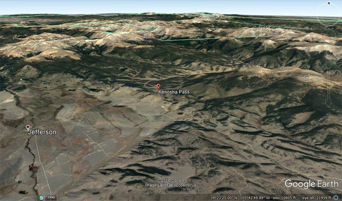
Google Earth |
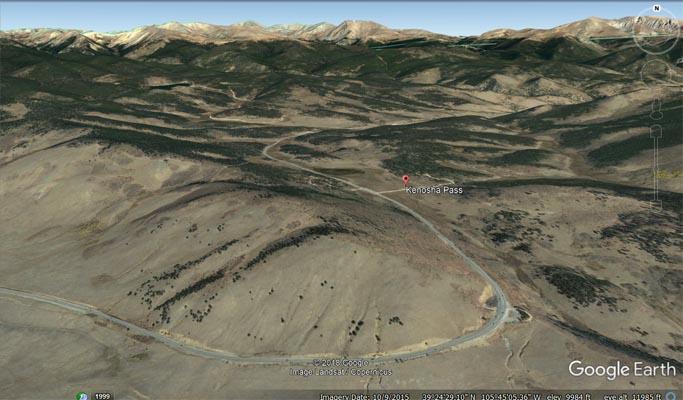
Google Earth |
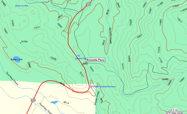
Garmin MapSource |
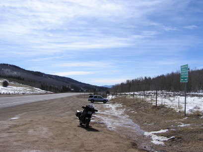
#2 - photos by Randy Bishop, 3/12/2005
At the summit. |
At the summit. |
At the summit, looking south. |
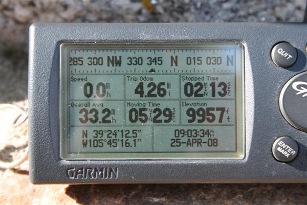
photos by Randy Bishop, 4/25/2008
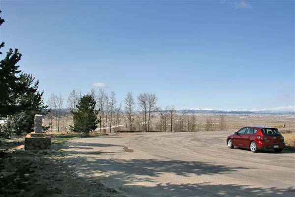
At southwest edge of summit, looking west. |
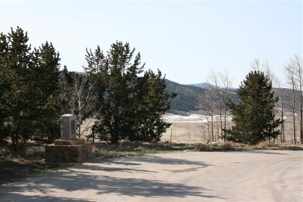
At southwest edge of summit. |
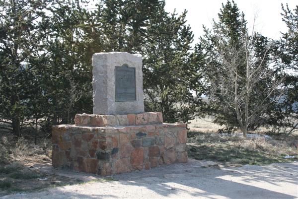
At southwest edge of summit. |
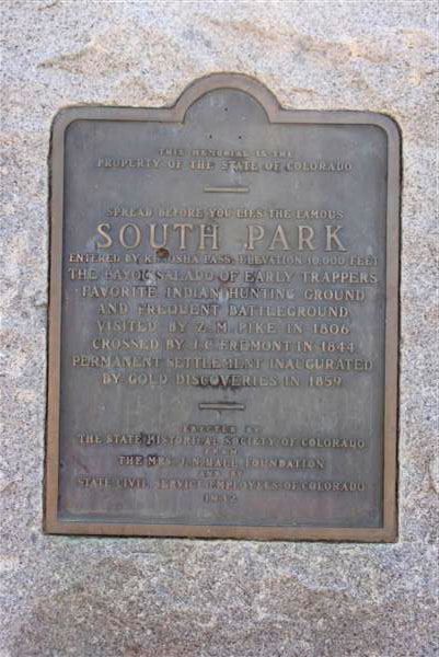
1932 vintage bronze plaque |
At southwest edge of summit. |
| Feature Name | ID | Class | County | State | Latitude | Longitude | Ele(ft) | Map | BGN Date | Entry Date |
| Kenosha Pass | 183189 | Gap | Park | CO | 392446N | 1054527W | 9983 | Jefferson | - | 13-OCT-1978 |