
Knez Divide
|
Knez Divide |
Knez Divide - Moffat County - Colorado - 7,326 feet
Yampa River to north. White River to south.
On CR-33 southeast of Craig via CO-394.
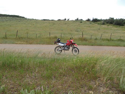
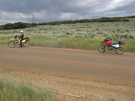
unpaved - dual sport
photos by Curtis Kohl, NM Trail Boss
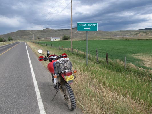
On CO-394. |
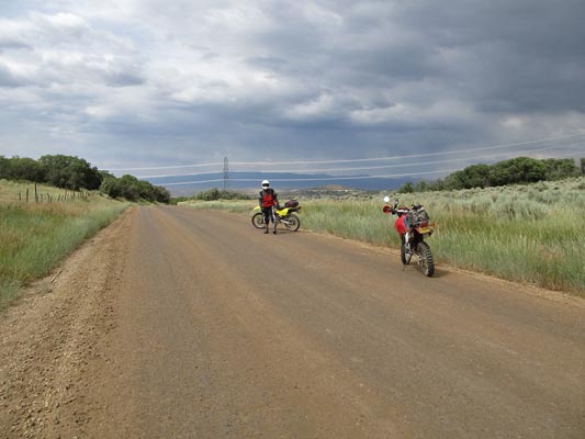
At the summit. |
At the summit. |
Near the summit. |
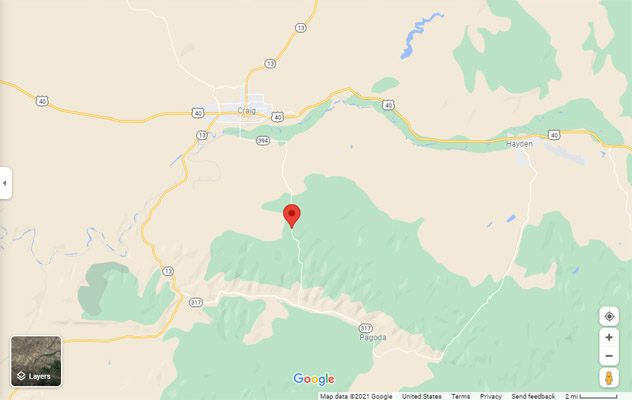
Google Maps |
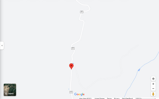
Google Maps |
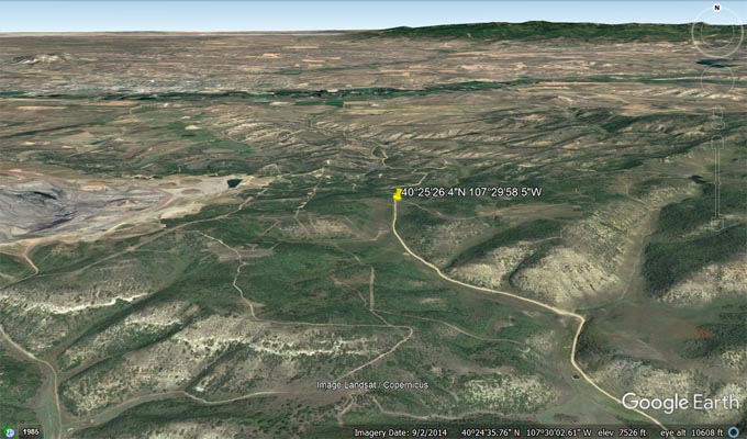
Google Earth |
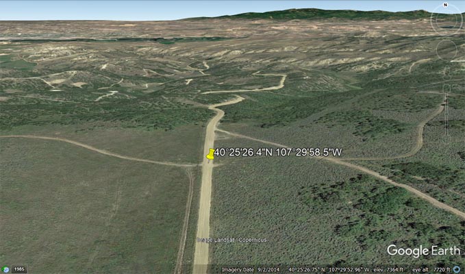
Google Earth |
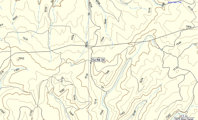
Garmin MapSource |
images from Scott Westfall
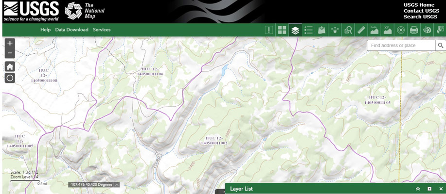
USGS The National Map (TNM) with watershed boundaries. |
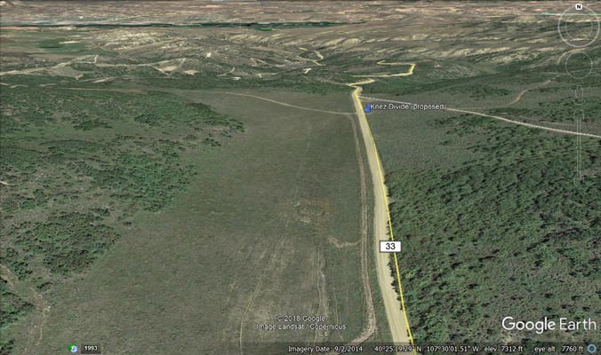
Google Earth oblique looking north. |
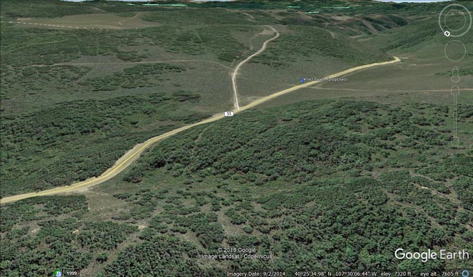
Google Earth oblique looking southeast. |
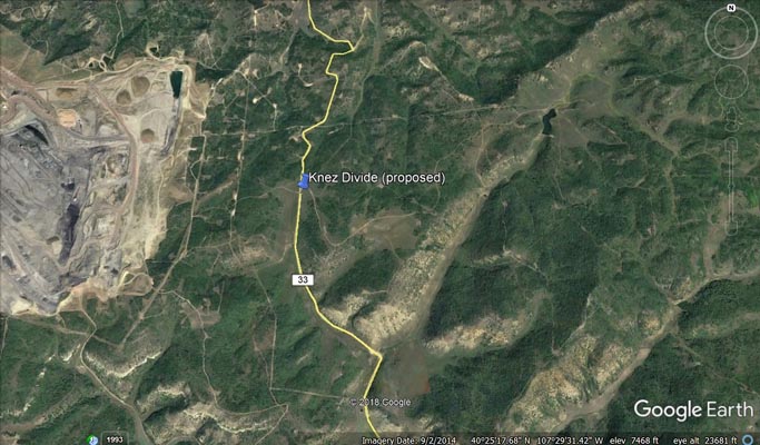
Google Earth imagery overhead. |
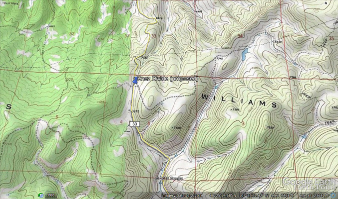
Google Earth topo overlay. |
Notes: Online searches found mention of Joe Knez and his ranch and coal mine which were located at the "top of the divide
between White River and Yampa River." His mine is referenced in "Department of the Interior, Hubert Work, Secretary,
United States Geological Survey, George Otis Smith, Director, Bulletin 757, Geology and Coal Resources of the Axial
and Monument Butte Quadrangles, Moffat County, Colorado, By E. T. Hancock, Washington, Government Printing Office, 1925" as
being in Township T. 6N, R. 90 W.