
Cumberland Gap
|
Cumberland Gap |
Cumberland Gap - Bell County - Kentucky - 1,631 feet
Little Yellow Creek to northwest. Gap Creek to southeast.
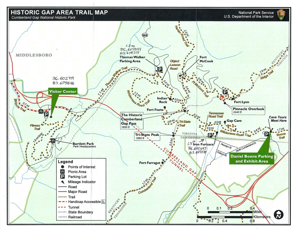
In Cumberland Gap National Historical Park near Middlesboro, Kentucky .
hiking trail
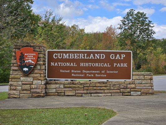
At the visitor center. |
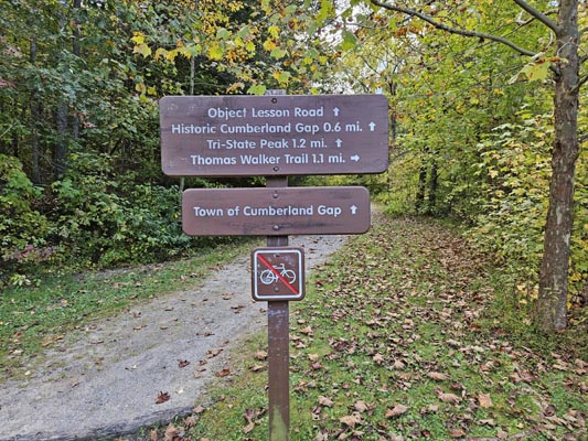
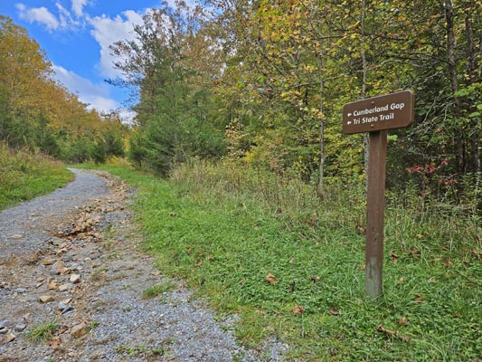
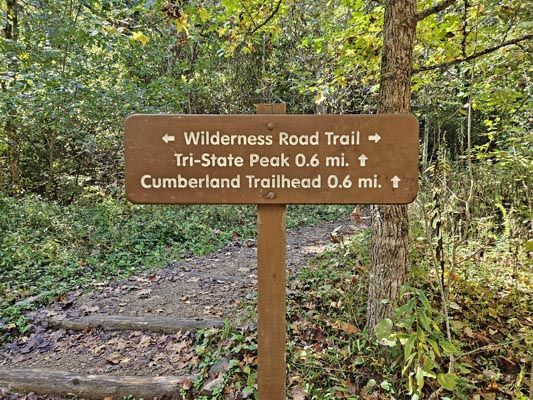
At the trailhead. |
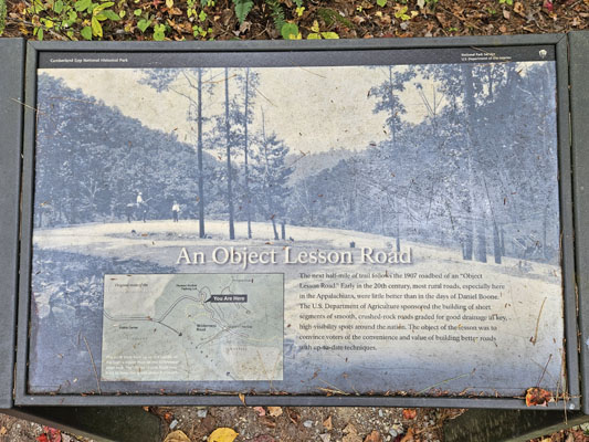
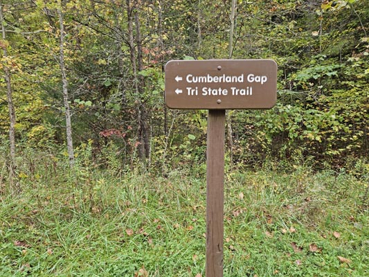
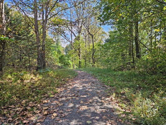
Along the trail. |
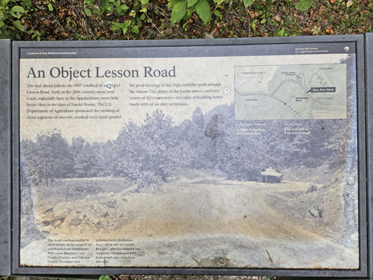
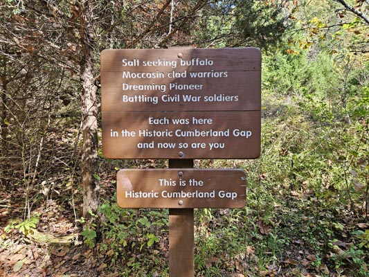
Along the trail. |
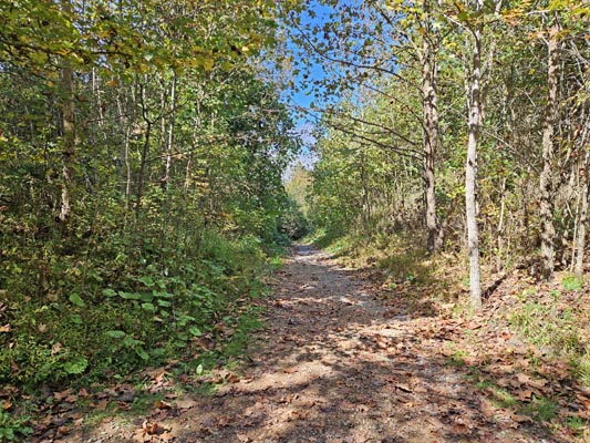
Along the trail. |
Along the trail. |
At the summit. |
At the summit, looking back northwest into Kentucky. |
At the summit, looking ahead southeast into Virginia. |
At the summit, looking southwest toward the Tri-Point. |
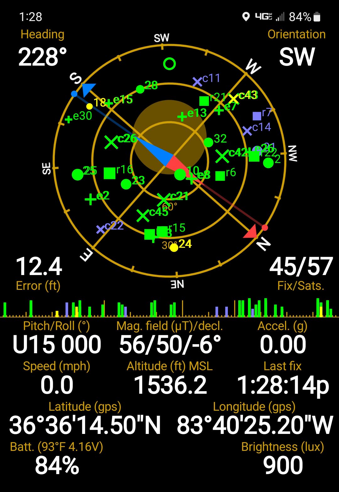
At the summit. |
National Parks |
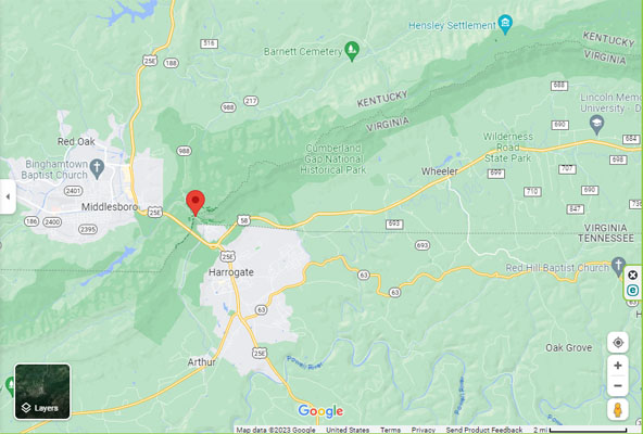
Google Maps |
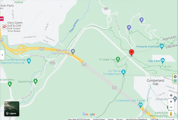
Google Maps |
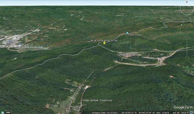
Google Earth |
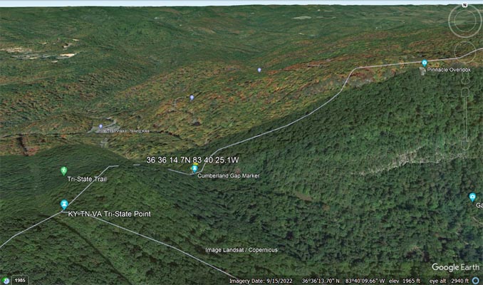
Google Earth |
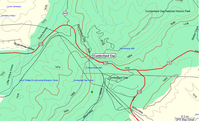
Garmin Mapsource |
| Feature Name | ID | Class | County | State | Latitude | Longitude | Ele(ft) | Map | BGN Date | Entry Date |
| Cumberland Gap | 490475 | Gap | Bell | KY | 363614N | 0834023W | 1631 | Middlesboro South | - | 20-SEP-1979 |
| Tri-State Peak | 505490 | Summit | Bell | KY | 363605N | 08340314W | 1985 | Middlesboro South | 200-SEP-1979- | 27-JUN-2018 |