
Last Dollar Pass
|
Last Dollar Pass |
Last Dollar Pass - San Miguel County - Colorado - 10,663 feet
Alder Creek to north. Summit Creek to south.
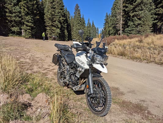
On Last Dollar Road (Road-58P, Road-T60) between Dallas Divide and Telluride.
gravel, dirt - dual sport
photos by Bob Dombrowe (2) and Greg Deckrow (5), 10/7/2021
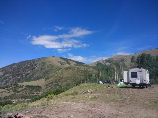
At the summit. |
At the summit. |
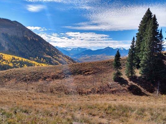
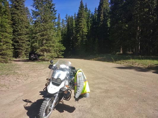
North of the summit. |
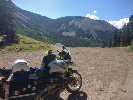
Near the summit. |
At the summit, looking southeast. |
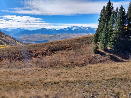
At the summit, looking south. |
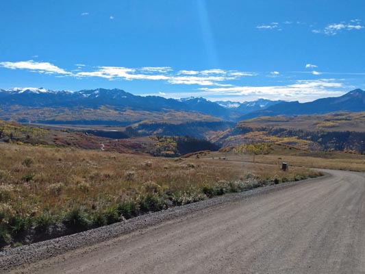
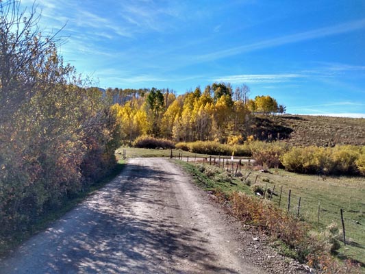
Near Telluride. |
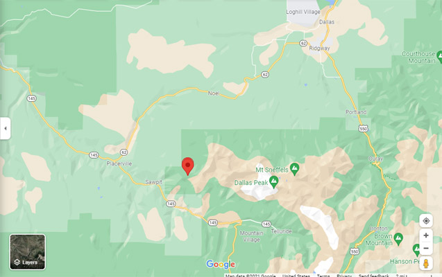
Google Maps |
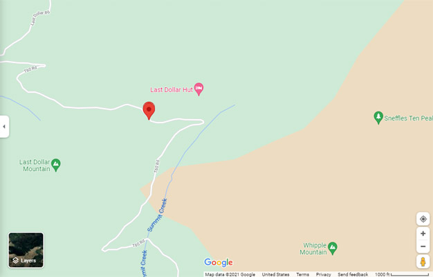
Google Maps |
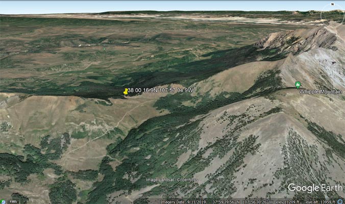
Google Earth |
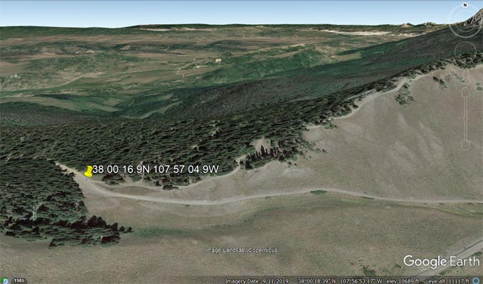
Google Earth |
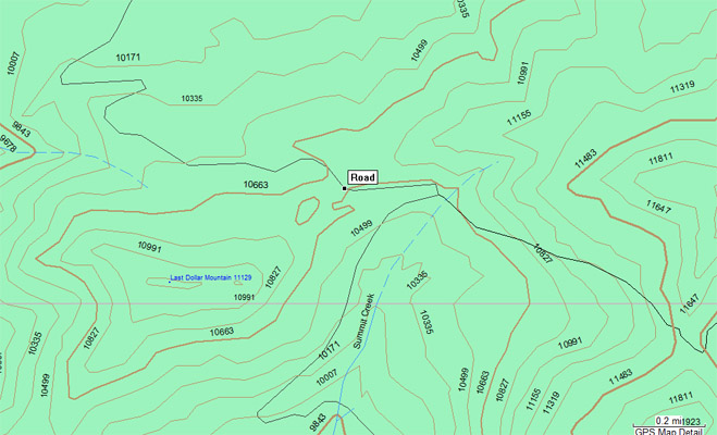
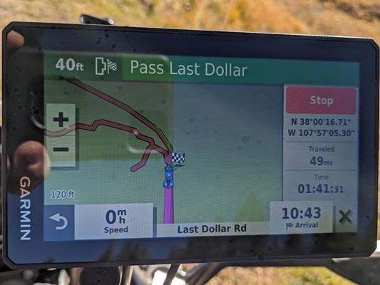
Garmin MapSource |
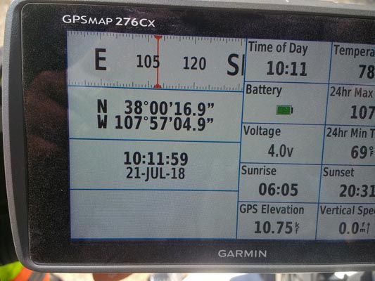
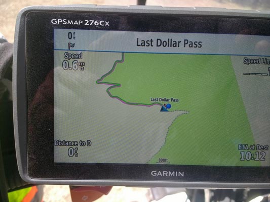
photos by Karst Postma, 7/21/2018
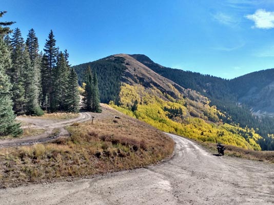
Looking south toward the summit. |
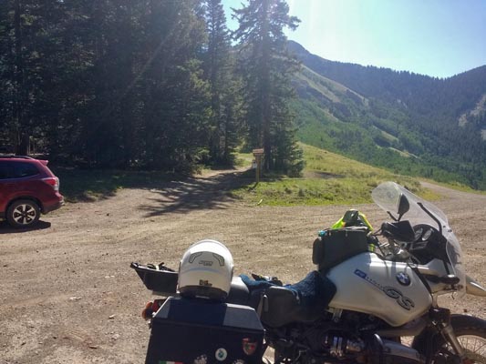
At the summit. |
At the summit . |
At the summit. |
At the summit. |
At the summit. |
At the summit. |
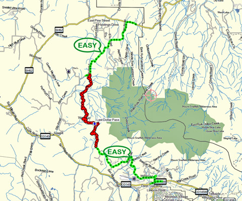
Notes from Karst: A few miles past Dallas Divide on CO-62 (Ridgway - Telluride) turn south on Road-58P. The first
6 miles are an easy and hardpacked road. Doable on any bike. After the 6 miles make a right turn on Road-T60. This road
has warning signs, for goods reasons, to stay away when wet. The road is rocky and rough, but it can be done on any
size adventure bike with medium skills. After 5 miles you arrive at the summit of Last Dollar Pass.
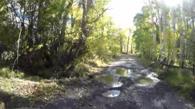
Descending to the south you may encounter some muddy short sections in the road, depending on recent weather. The warning
signs for slick roads when wet become clear. The mud is extremely slippery. 2.5 miles after the summit the road once
more becomes hardpacked and wide. It continues down towards Telluride and you get back on CO-145 at the airport.
Willow Creek |
Alder Creek |
Notes from Scott Westfall: I rode it north-to-south in October 2016 with little problem on a Harley , if that's any indication.
Bumpy in places, but not rocky. Well-traveled, the main hazard being dried ruts from vehicles traversing when it is muddy.
.
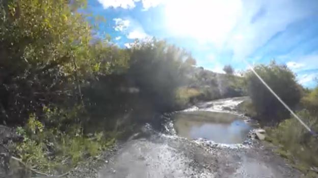
From the north, starting at CO-62 just west of Dallas Divide, there are two creek crossings which manifest as road-width mud
holes. One is at Willow Creek 38.0758N 107.9366W about 2.7 miles south of CO-62 on before you split left/south. The second
is Alder Creek at 38.0492N 107.9571W about 2.5 miles further. In a dry October, likely manageable with a little momentum on
any bike with more than 3" clearance and less than 800 lbs. From there, easy riding up and over the summit, with only some
small run-off trickle streams that are barely worth mentioning in a dry October. It is about 21 miles of dirt from CO-62 to
the pavement at Airport Road, and another 2 miles from there to CO-145.
| Feature Name | ID | Class | County | State | Latitude | Longitude | Ele(ft) | Map | BGN Date | Entry Date |
| Last Dollar Mountain | 202396 | Summit | San Miguel | CO | 380003N | 1075736W | 11125 | Sams | - | 13-OCT-1978 |