
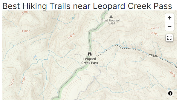
Leopard Creek Pass
|
Leopard Creek Pass |
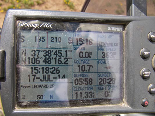
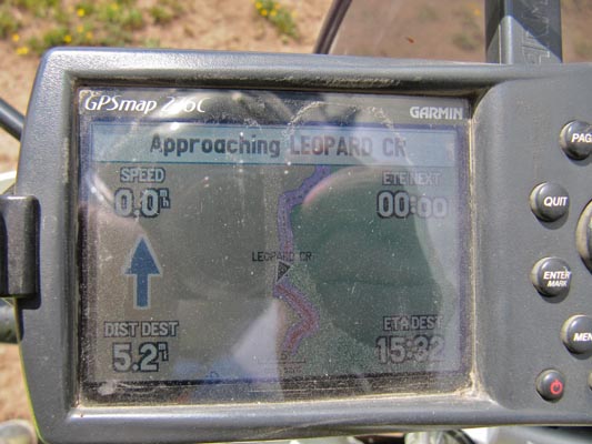
Leopard Creek Pass - Mineral County - Colorado - 11,330 feet
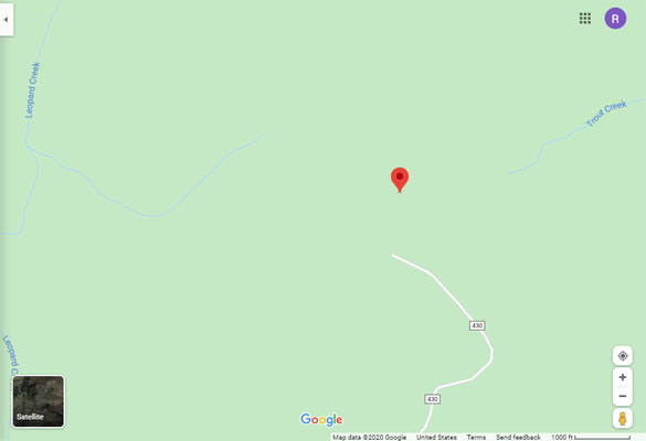
Leopard Creek to west. Trout Creek to east.
West of South Fork, via US-160, FR-410, FR-430. Or hike via Forest Trail 831.
dirt - dirt bike or dual sport
photos by Karst Postma, 7/17/2014
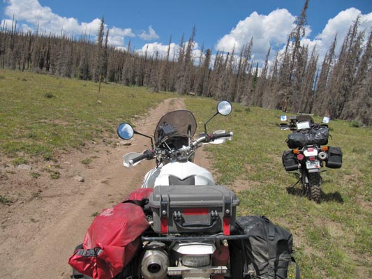
At the summit. |
At the summit. |
At the summit. |
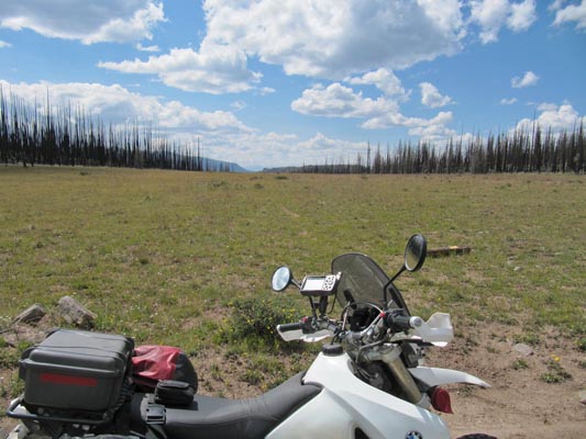
Near the summit. |
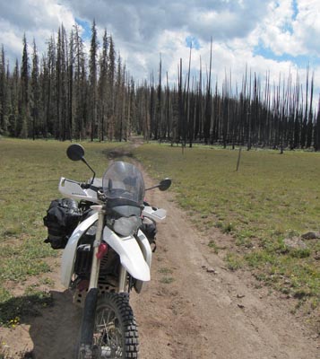
At the summit. |
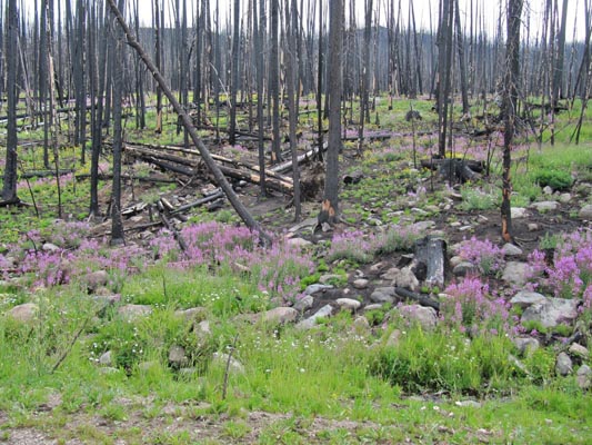
At the summit. |
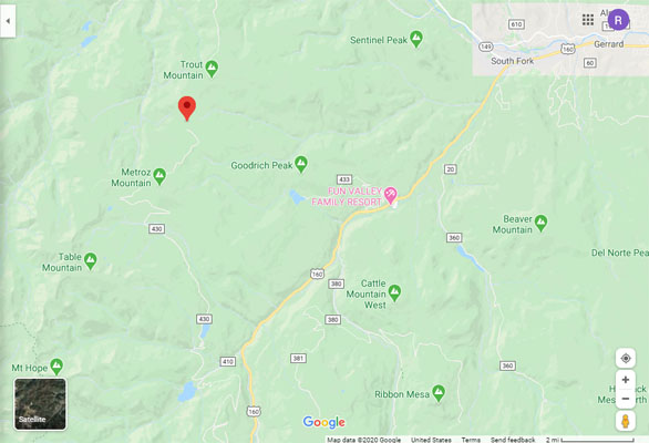
Google Maps |
Google Maps |
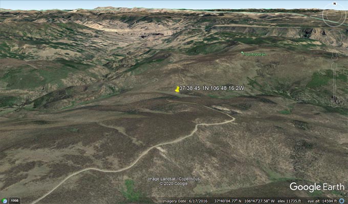
Google Earth |
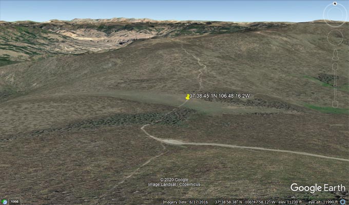
Google Earth |
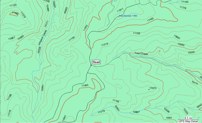
Garmin MapSource |
GAIA GPS |
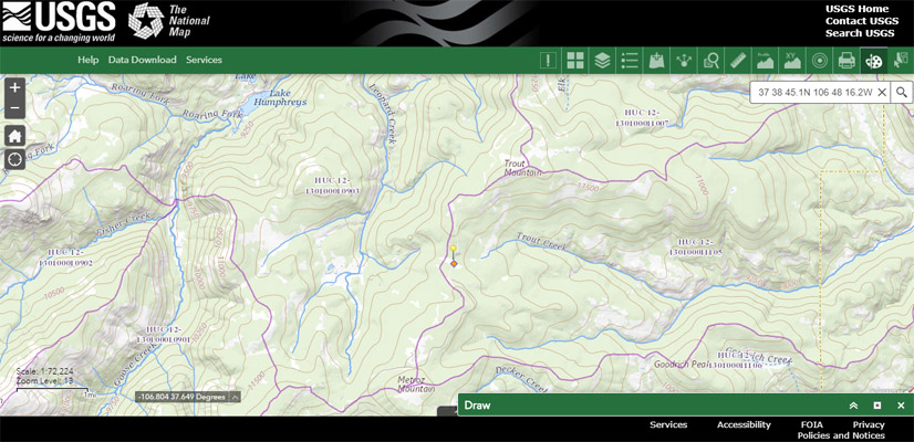
USGS National Map |
Notes from Karst: Preferred route from the south, good except for rough
last 0.3 miles (doable though, smaller bike). To the north, steep and rocky.
| Feature Name | ID | Class | County | State | Latitude | Longitude | Ele(ft) | Map | BGN Date | Entry Date |
| Leopard Creek | 1900549 | Stream | Mineral | CO | 374309N | 1065010W | 8638 | Lake Humphreys | - | 13-OCT-1978 |
| Trout Creek | 1900552 | Stream | Mineral | CO | 373914N | 1063914W | 8274 | South Fork West | - | 13-OCT-1978 |