
Loveland Pass
|
Loveland Pass |
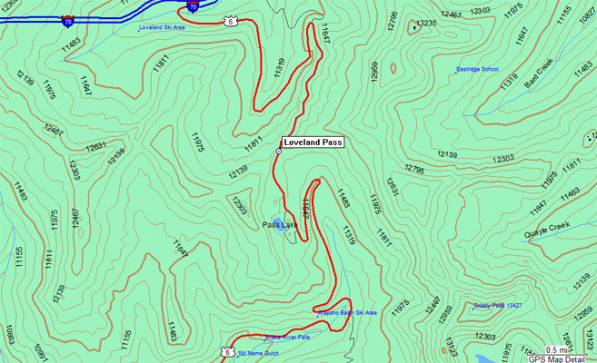
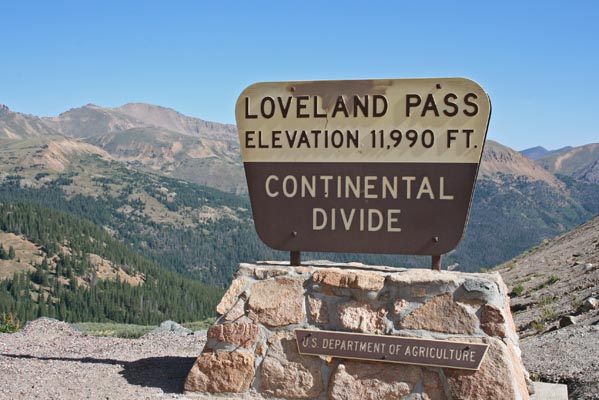
Loveland Pass - Clear Creek / Summit Counties - Colorado - 11,990 feet - On the Continental Divide
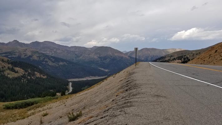
North Fork Snake River to west. Clear Creek to east.
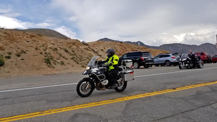
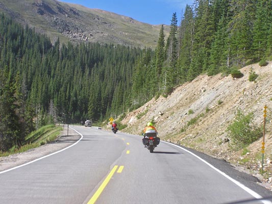
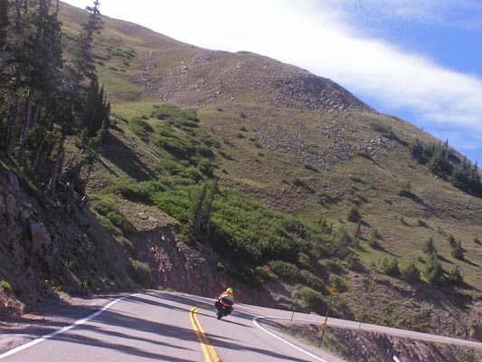
US-6 east of Dillon
pavement - road bike
photos by Randy Bishop, 8/4/2018
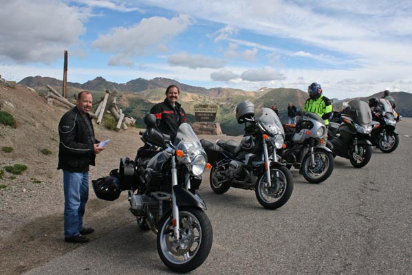
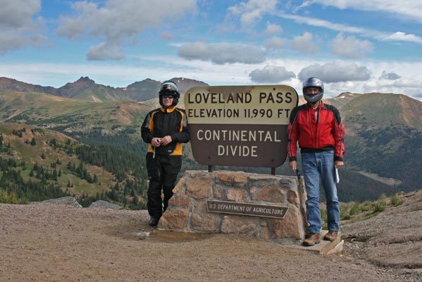
At the summit. |
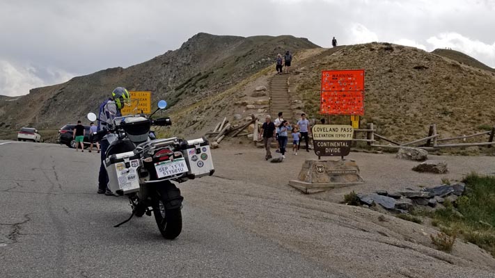
At the summit. |
At the summit. |
KZ at the summit. |
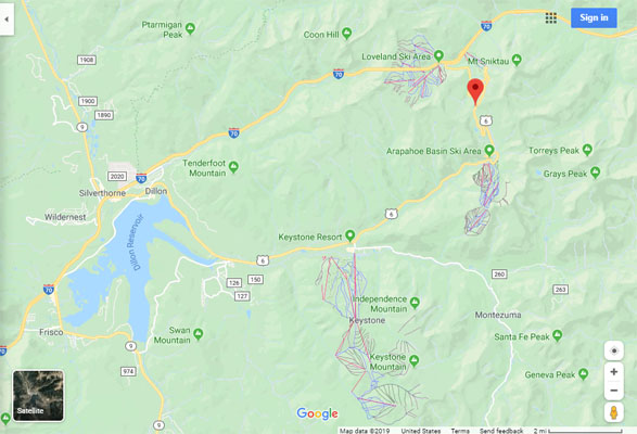
Google Maps |
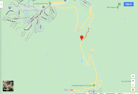
Google Maps |
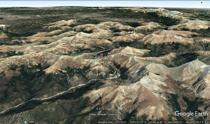
Google Earth |
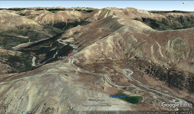
Google Earth, looking northeast. |
Garmin MapSource |
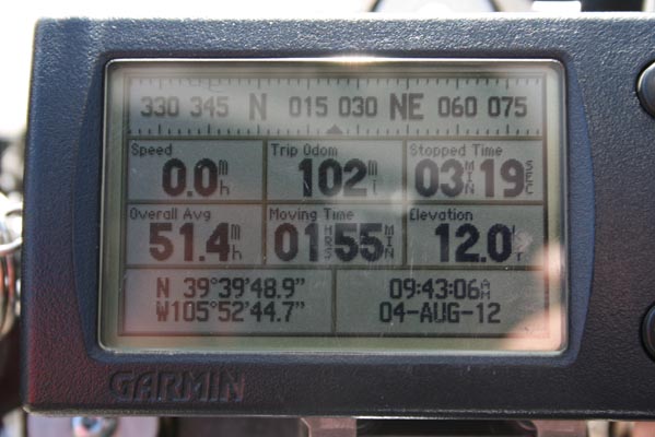
photos by Randy Bishop, 8/4/2012
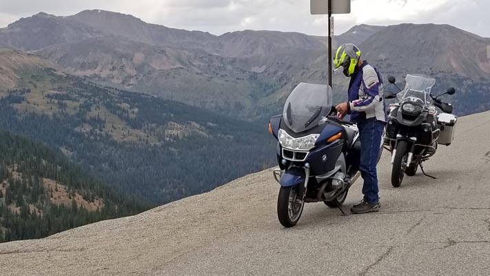
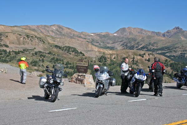
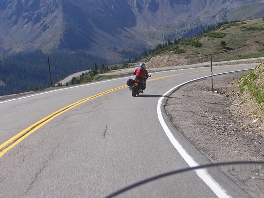
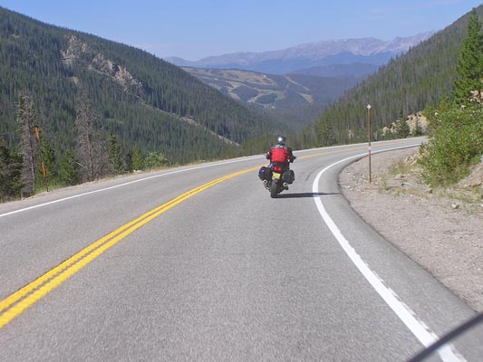
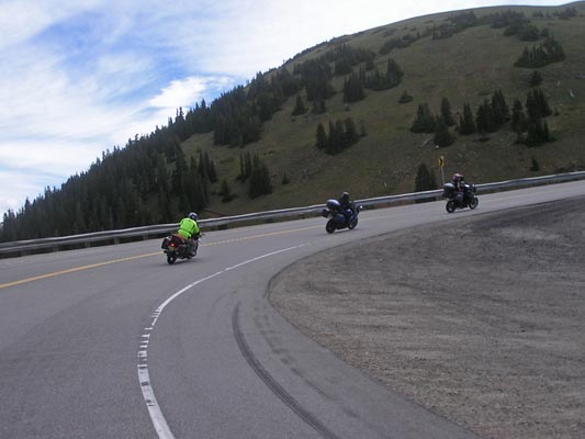
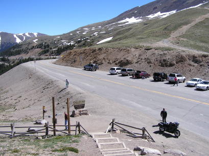
East side of summit. |
East side of summit. |
At the summit. |
At the summit. |
At the summit. |
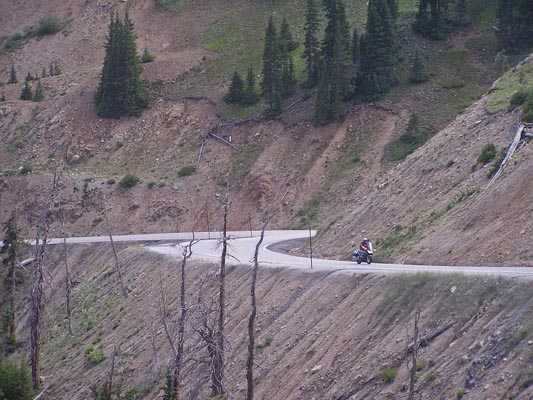
West side of summit. |
West side of summit. |
photos by Randy Bishop, 8/7/2010
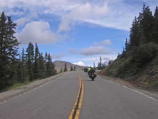
East side of summit. |
East side of summit. |
East side of summit. |

East side of summit. |
At the summit. |
At the summit. |
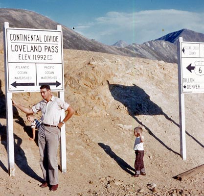
#17 - photos by Randy Bishop, 06/18/2005
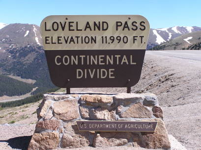
At the summit. |

At the summit. |
At the summit. |
photos by Ken and Ada Bishop, 9/1955
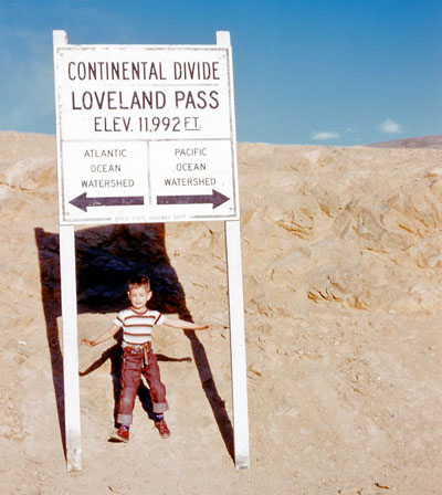
Randy |
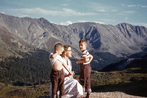
James, Ada, Randy |
Randy, Ken, James |
At the summit. |
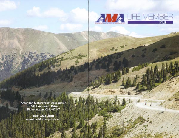
photo from AMA Life Member brochure, 02/2013
Join the American Motorcyclist Association.
It is $ well spent.
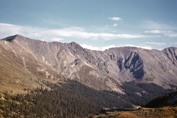
Looking east from the summit. |
| Feature Name | ID | Class | County | State | Latitude | Longitude | Ele(ft) | Map | BGN Date | Entry Date |
| Loveland Pass | 181813 | Gap | Summit | CO | 393949N | 1055245W | 11995 | Loveland Pass | - | 13-OCT-1978 |