
Maggie Pass
|
Maggie Pass |
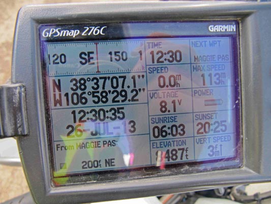
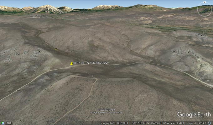
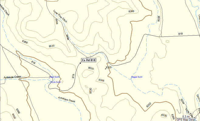
Maggie Pass - Gunnison County - Colorado - 8,487 feet
Antelope Creek to west. Lone Pine Ditch to east.
On CR-818 north of Gunnison.
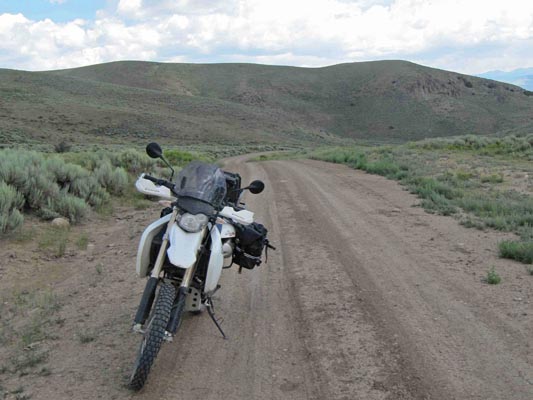
dirt - dual sport
photos by Karst Postma, 8/4/2020

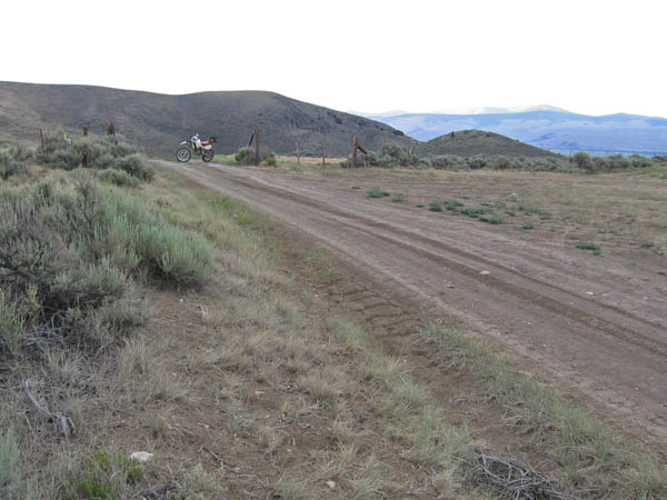
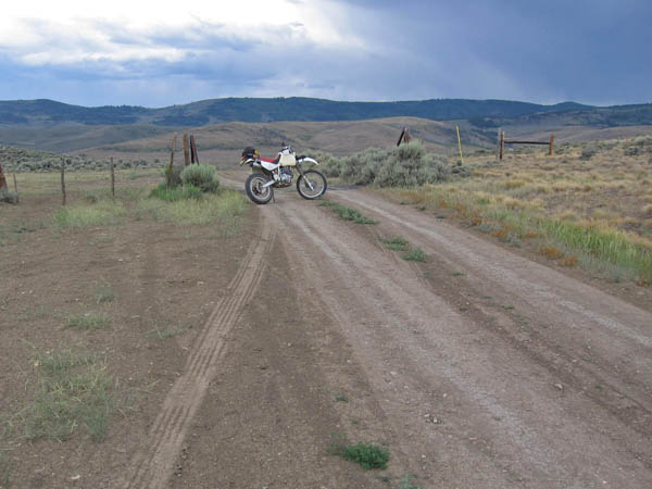
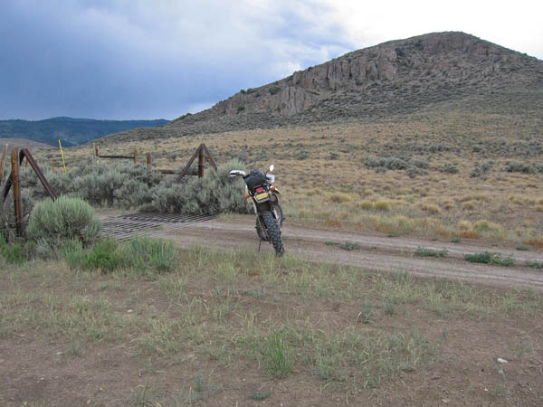
At the summit. |
At the summit. |
Near the summit. |
Near the summit. |
At the summit. |
At the summit. |
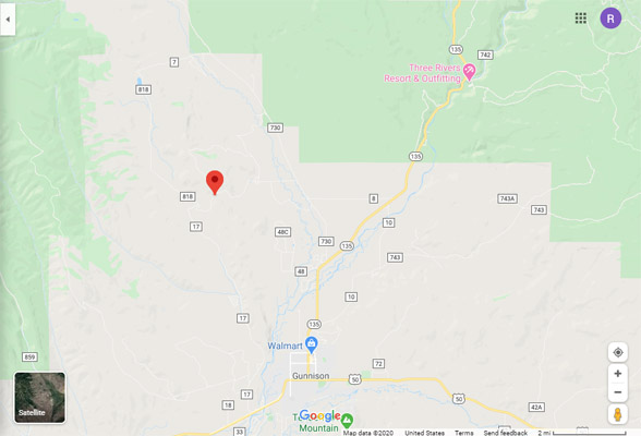
Google Maps |
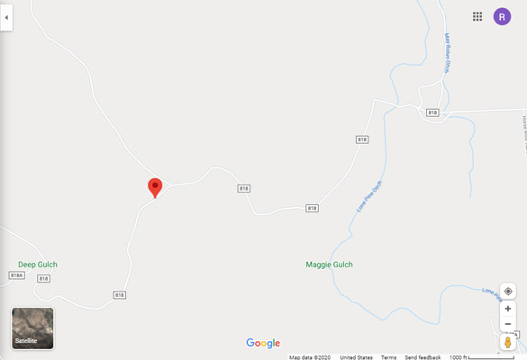
Google Maps |
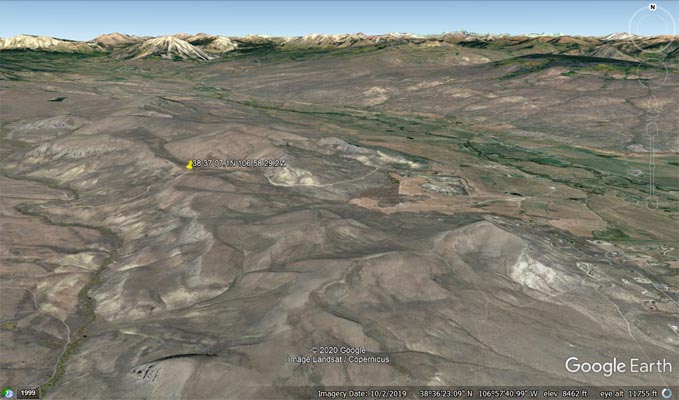
Google Earth |
Google Earth |
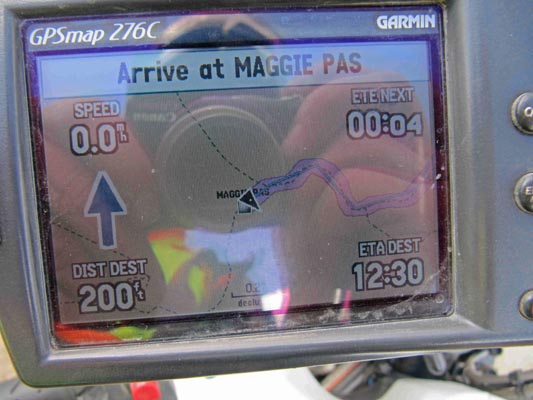
Garmin MapSource |
Easily reachable with dual sport big bike. North of Gunnison, take paved CR-730 to CR-818.
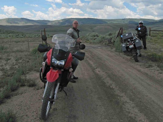
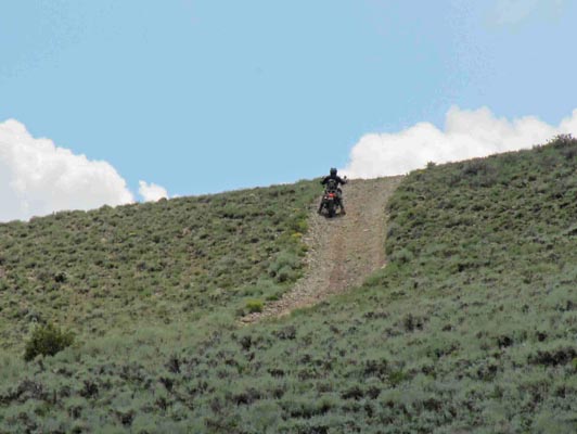
South of the pass is a nice very steep hillside. Greg Cocks had to try it on his 1200 with street
tires. He got to within 20 feet of the top before running out of traction. Trying to get down backwards
he dropped his bike, but did an exemplary job of how recover a big bike on a steep hill laying in the
wrong direction. His four friends watched it all from the bottom of the hill with many running comments.
It was way too far to walk to help him and it was a LOT more fun to watch it all.
photos by Curtis Kohl, 2007
At the summit, looking northeast. |
At the summit, looking southwest. |
At the summit, looking west. |
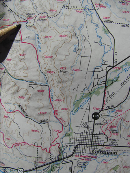
Latitude 40 Aspen-Crested Butte-Gunnison map. |
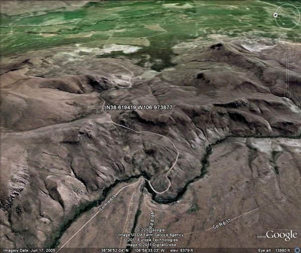
Google Earth, looking east. |
| Feature Name | ID | Class | County | State | Latitude | Longitude | Ele(ft) | Map | BGN Date | Entry Date |
| Maggie Gulch | 188925 | Valley | Gunnison | CO | 383652N | 1065741W | 8087 | Gunnison | 13-OCT-1978 | 08-JUN-2016 |