
Meadow Divide
|
Meadow Divide |
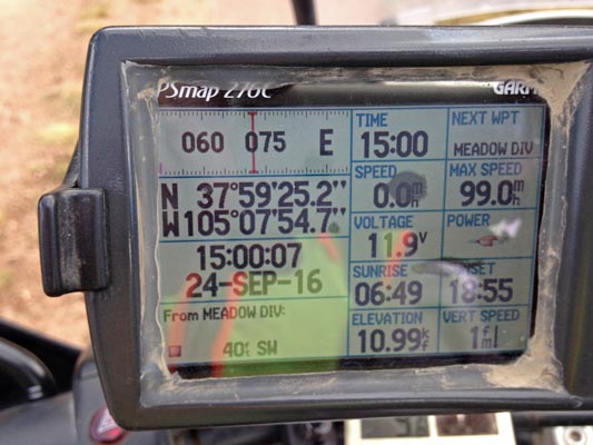
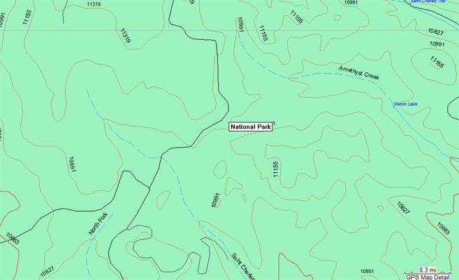
Meadow Divide - Custer County - Colorado - 11,330 feet
Amethyst Creek to north. Saint Charles River to south.
(Amethyst Creek flows into Saint Charles River about 3 miles to the east.)
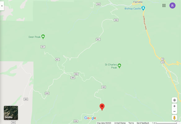
Northwest of Rye, off US-165 via FR-360 (Ophir Creek Rd) and FR-369 (Green Mountain Rd).
Near FR-636/FR-402 (Meadow Divide Rd).
dirt - dual sport
photos by Karst Postma, 9/24/2016
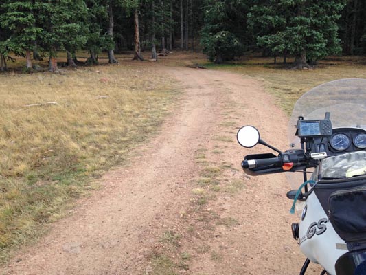
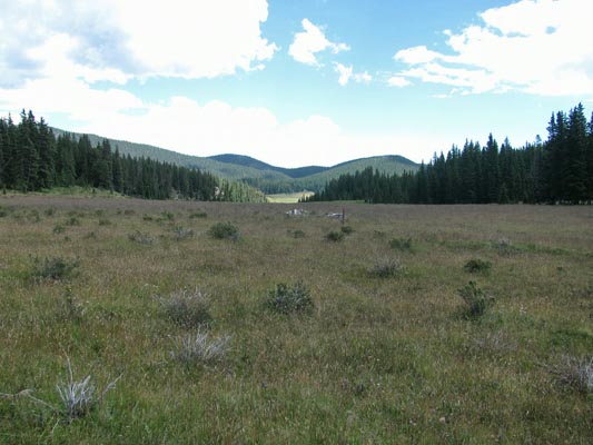
At the summit. |
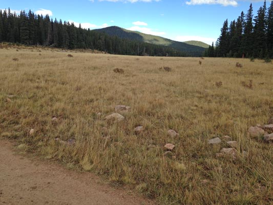
At the summit, looking northeast. |
At the summit. |
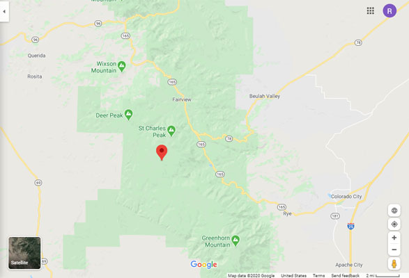
Google Maps |
Google Maps |
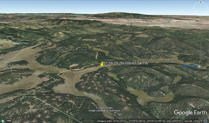
Google Earth, looking north. |
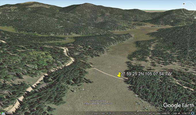
Google Earth, looking northeast. |
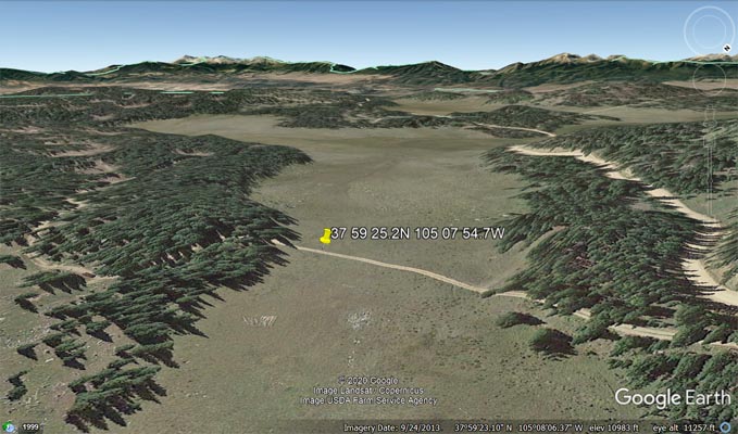
Google Earth, looking southwest. |
Garmin MapSource |
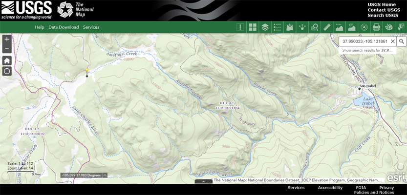
USGS National Map |
photos by Curtis Kohl, 8/18/2014
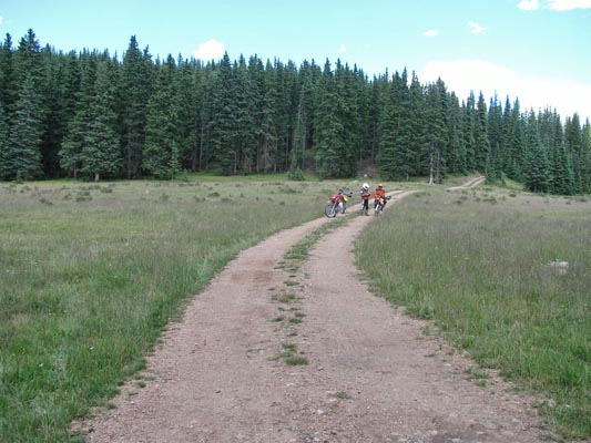
At the summit. |
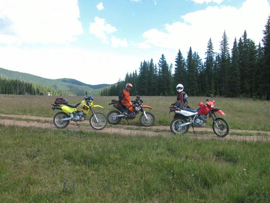
At the summit, looking northeast. |
At the summit, looking northeast. |
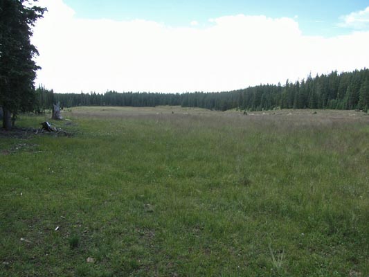
At the summit, looking southwest. |
| Feature Name | ID | Class | County | State | Latitude | Longitude | Ele(ft) | Map | BGN Date | Entry Date |
| Amethyst Creek | 192511 | Stream | Custer | CO | 375832N | 1050504W | 9144 | San Isabel | - | 13-OCT-1978 |
| Saint Charles River | 193752 | Stream | Custer | CO | 381556N | 1042735 | 4550 | Devine | 10-OCT-1978 | 13-AUG-2019 |
| Saint Charles Peak | 192381 | Summit | Custer | CO | 380113N | 1050658 | 11788 | Saint Charles Peak | - | 13-OCT-1978 |