
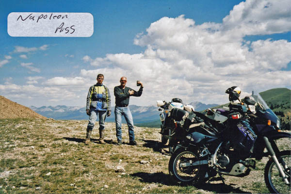
Napoleon Pass
|
Napoleon Pass |
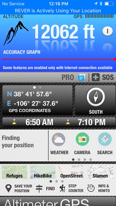
Napoleon Pass - Gunnison County - Colorado - 12,034 feet
Middle Willow Creek to north. Quartz Creek to south.
North of Pitkin, west of Fitzpatrick Peak.
off-road - dirt bike or dual sport
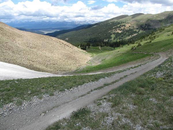
photos by John Meyer, 9/18/2018
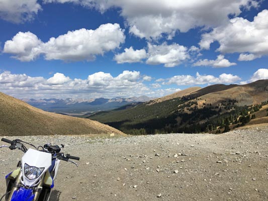
At the summit, looking north. |
At the summit, looking north. |
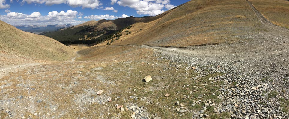
At the summit, looking east. |
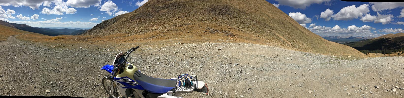
At the summit, looking south. |
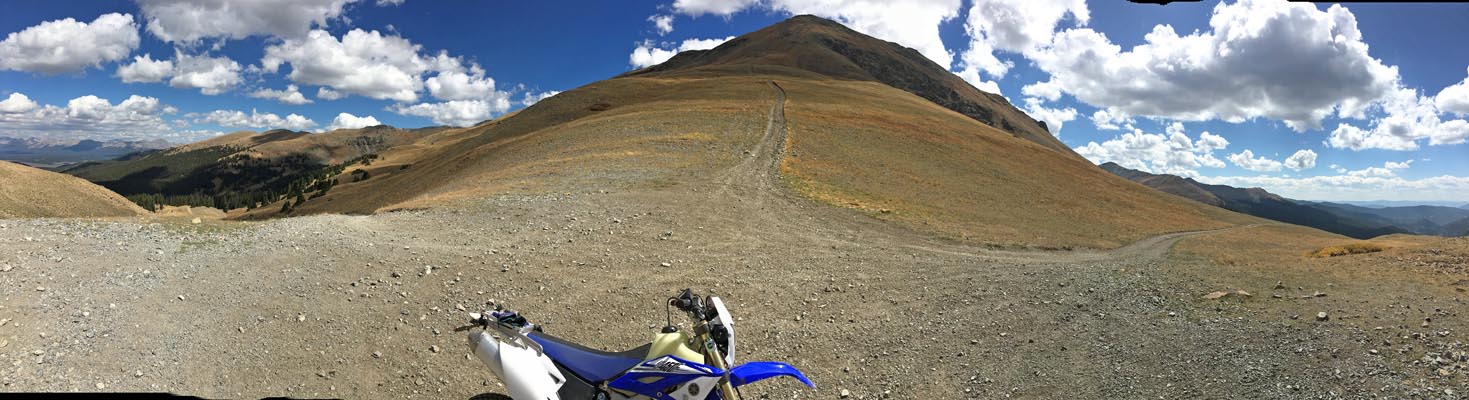
At the summit, looking west. |
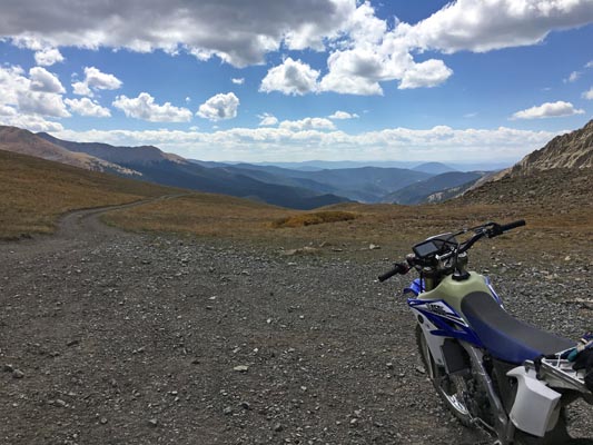
At the summit. |
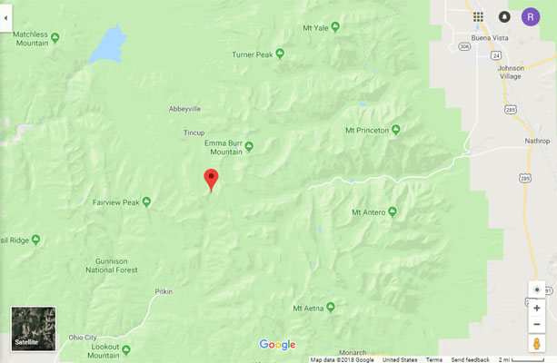
Google Maps |
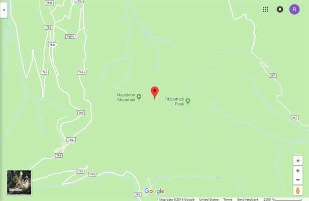
Google Maps |
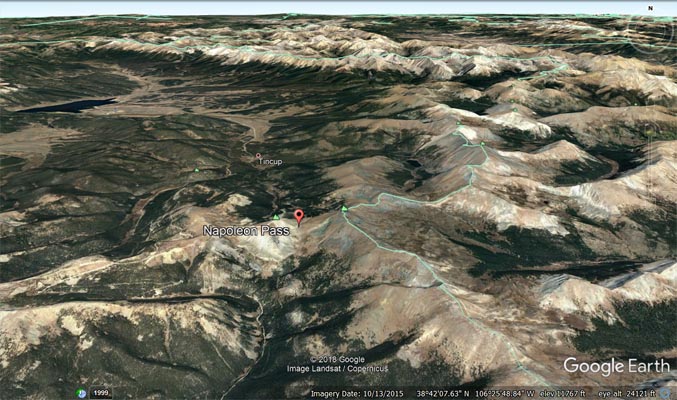
Google Earth |
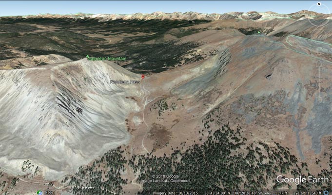
Google Earth |
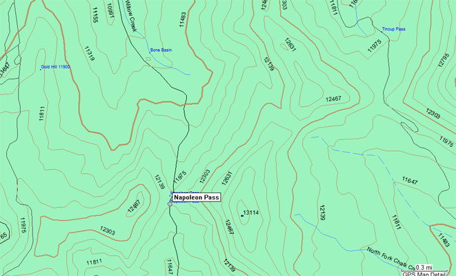
Garmin MapSource |
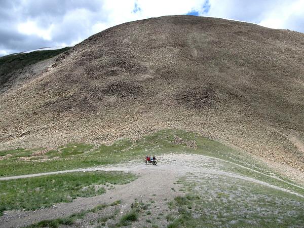
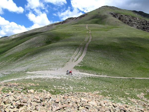
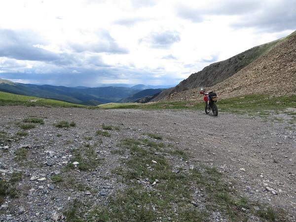
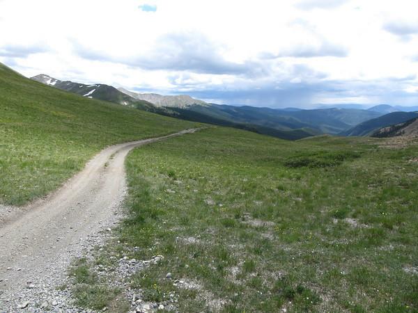
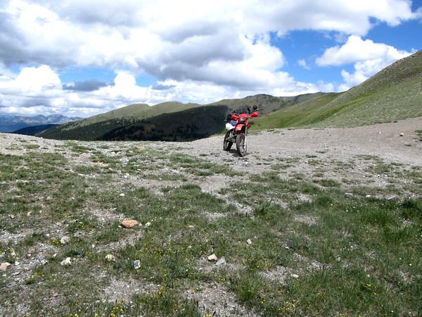
photos by Curtis Kohl, 7/26/2011
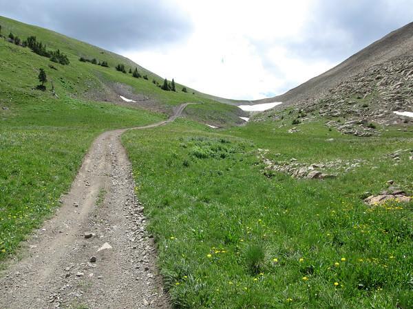
Looking south toward the summit. |
At the summit, looking west. |
At the summit, looking east. |
At the summit, looking south. |
At the summit, looking south. |
At the summit, looking north. |
At the summit, looking north. |
photo by Chris Wilder, 1/22/2016
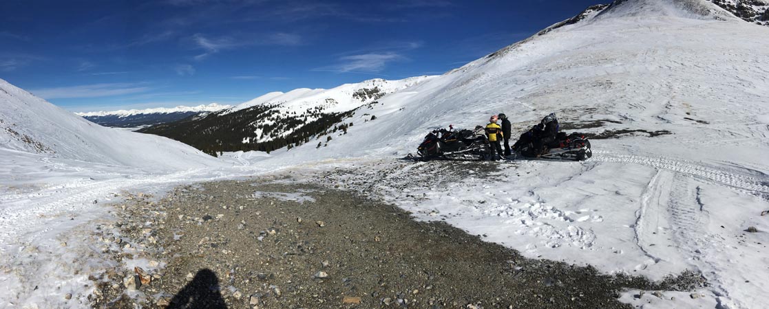
At the summit, looking north. |
photo by Roamin Carloski
At the summit. |
| Feature Name | ID | Class | County | State | Latitude | Longitude | Ele(ft) | Map | BGN Date | Entry Date |
| Napoleon Pass | 197495 | Gap | Gunnison | CO | 384156N | 1062737W | 12034 | Cumberland Pass | - | 01-JUL-1992 |