
The Narrows
|
The Narrows |
The Narrows - Gunnison County - Colorado - 7,244 feet
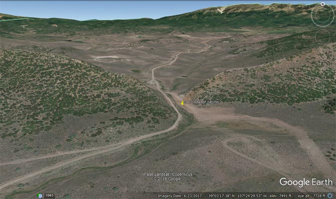
An intermittent stream flows through the gap. West Muddy Creek is to the west of the gap.
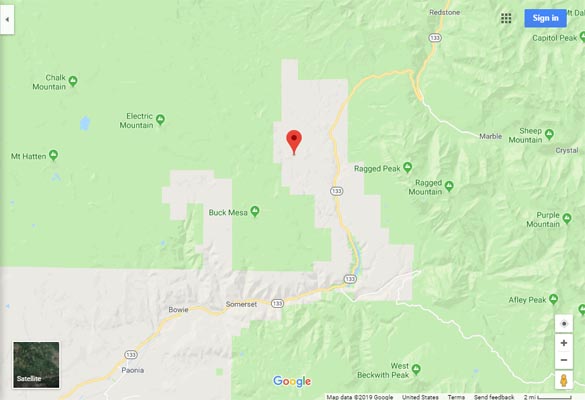
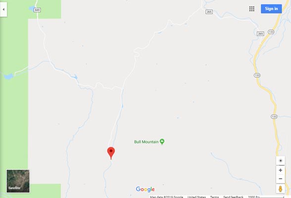
To the west of CO-133 between McClure Pass and Somerset, via CR-265, FR-851 and FR-849.
gravel - dual sport
photos by John Meyer, 7/21/2017
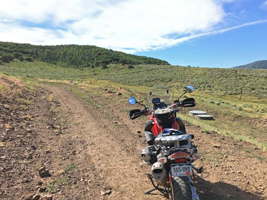
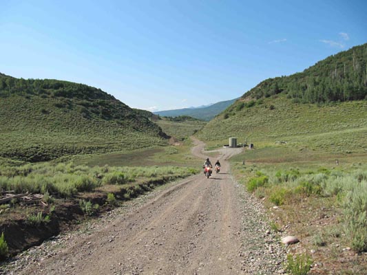
Near the gap. |
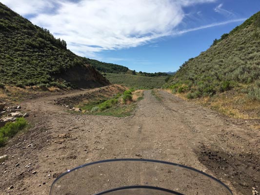
In the gap. |

In the gap. |
In the gap. |
In the gap. |
Google Maps |
Google Maps |

Google Earth |
Google Earth |

Garmin MapSource |
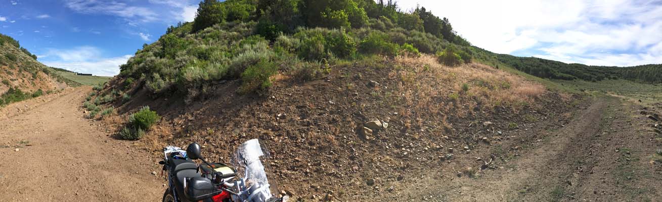
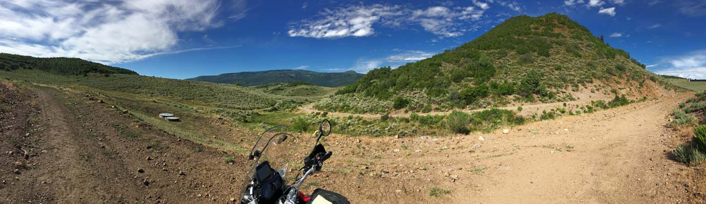
photos by Karst Postma, 7/25/2013
At the summit. |
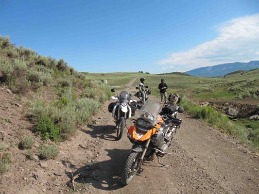
At the summit. |
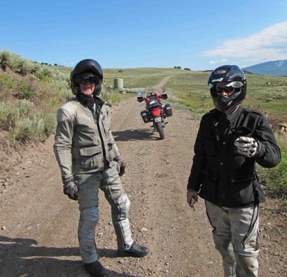
At the summit. |
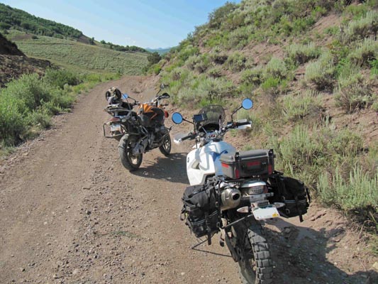
At the summit. |
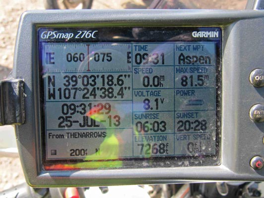
At the summit. |
Notes from Karst: This gap is located off CO-133 between Paonia and McClure Pass. Take CR-265 northwest
for 1.3 miles and turn southwest on FR-851 (which turns into FR-849) for 3.3 miles. It is posted as private
property in several places. All gates are open. The road is hard packed dirt all the way.
There may be access from the south as well on FR-849 that may avoid private property signage.
| Feature Name | ID | Class | County | State | Latitude | Longitude | Ele(ft) | Map | BGN Date | Entry Date |
| The Narrows | 175446 | Gap | Gunnison | CO | 390316N | 1072437W | 7244 | Bull Mountain | - | 13-OCT-1978 |