
Emory Pass
|
Emory Pass |
Emory Pass - Sierra County - New Mexico - 8,228 feet
On NM-152 between San Lorenzo and Hillsboro
paved - road bike
photos by Karl Zuercher, 4/27/2019
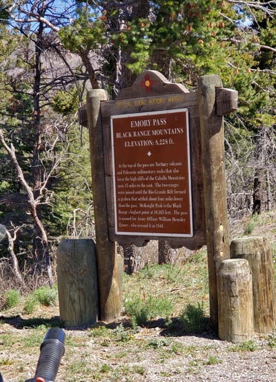
At the summit. |
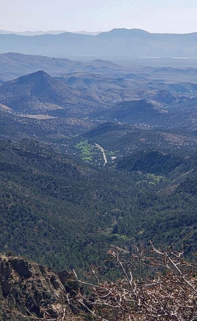
Near the summit. |
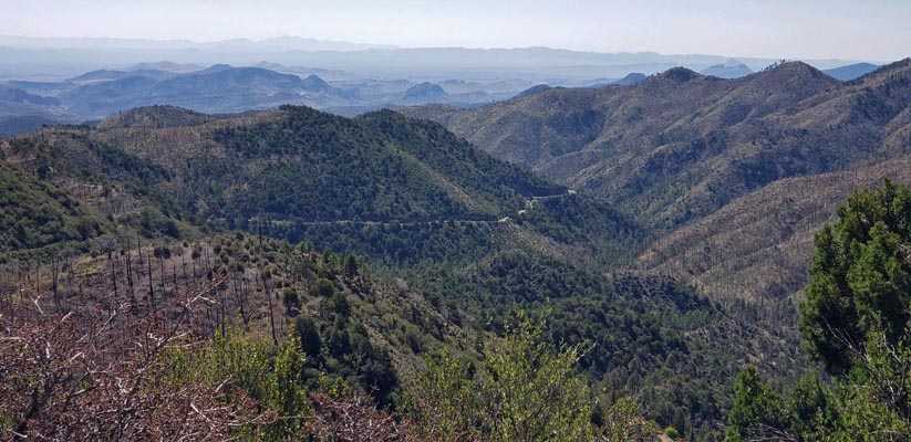
Near the summit. |
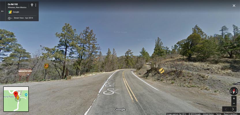
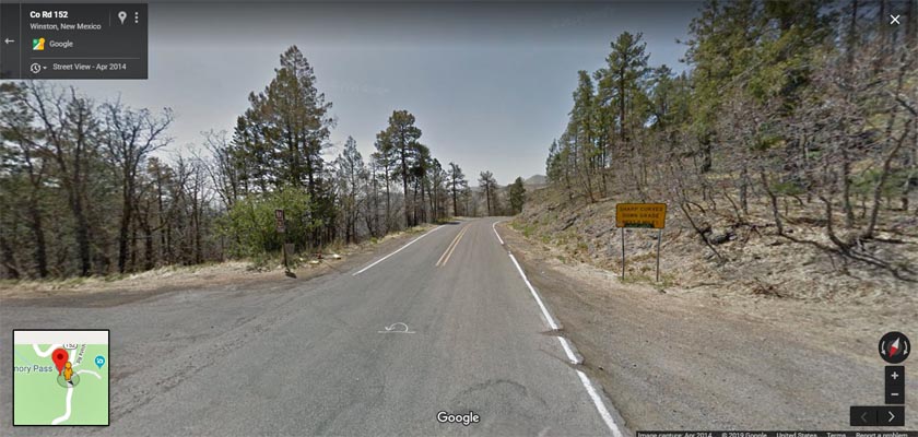
Google Maps Street View, at the summit, looking north. |
Google Maps Street View, at the summit, looking south. |
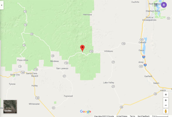
Google Maps |
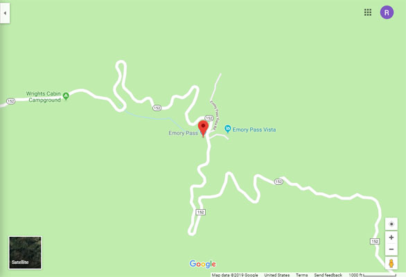
Google Maps |
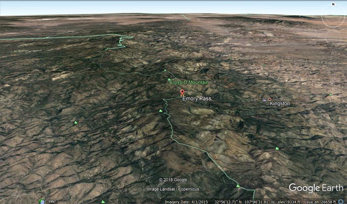
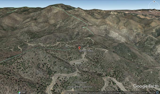
Google Earth |
Google Earth |
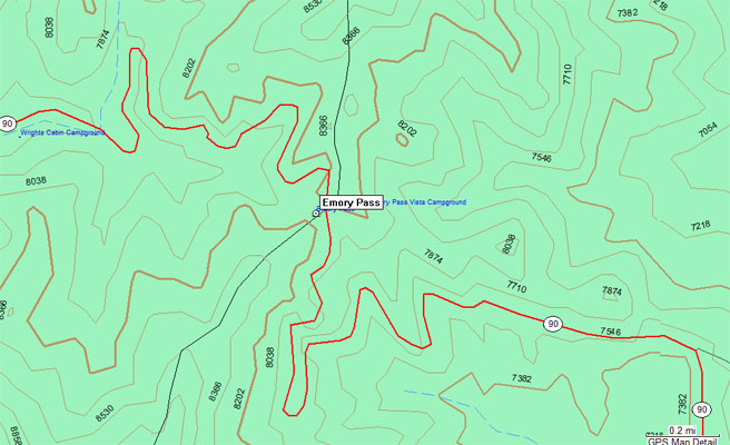
Garmin MapSource |
From the historical marker:
Emory Pass, Black Range Mountains, Elevation 8,228 ft. At the top of the pass are Tertiary
volcanic and Paleozoic sedimentary rocks that also form the high cliffs of the Caballo Mountains
seen 35 miles to the east. The two ranges were joined until the Rio Grande Rift formed a graben
that settled about four miles lower than the pass. McKnight Peak is the Black Range's highest
point at 10,165 feet. The pass is named for Army Officer William Hensley Emory, who crossed it in 1846.
| Feature Name | ID | Class | County | State | Latitude | Longitude | Ele(ft) | Map | BGN Date | Entry Date |
| Emory Pass | 906157 | Gap | Sierra | NM | 325436N | 1074600W | 8166 | Hillsboro Peak | 01-JAN-1939 | 13-NOV-1980 |
| Emory Pass Historical Marker | 931709 | Park | Sierra | NM | 325436N | 1074600W | 8166 | Hillsboro Peak | - | 01-MAY-1994 |
| Emory Pass Vista Campground | 898891 | Locale | Sierra | NM | 325437N | 1074551W | 8176 | Hillsboro Peak | - | 01-DEC-1991 |