
Bob Scotts Summit
|
Bob Scotts Summit |
Bob Scotts Summit - Lander County - Nevada - 7,205 feet
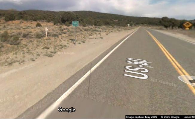
On US-50 about 6 miles southeast of Austin, Nevada.
pavement - road bike
At the summit, looking southeast. |
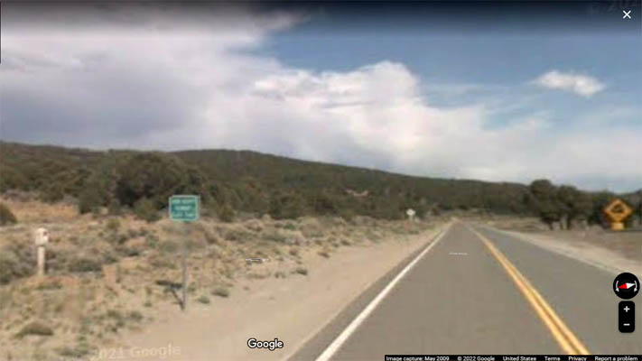
Looking southeast. Summit sign and Lincoln Highway marker. |
At the summit, looking northwest. |
At the summit, looking west. Historical marker. |
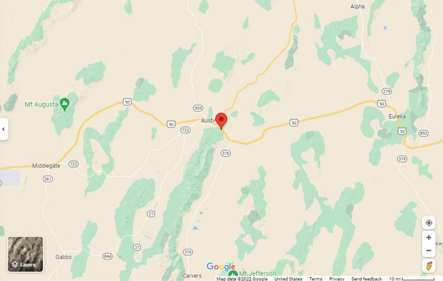
Google Maps |
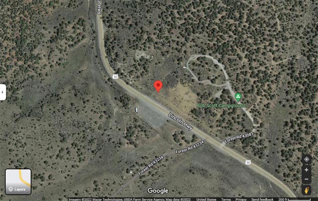
Google Maps |
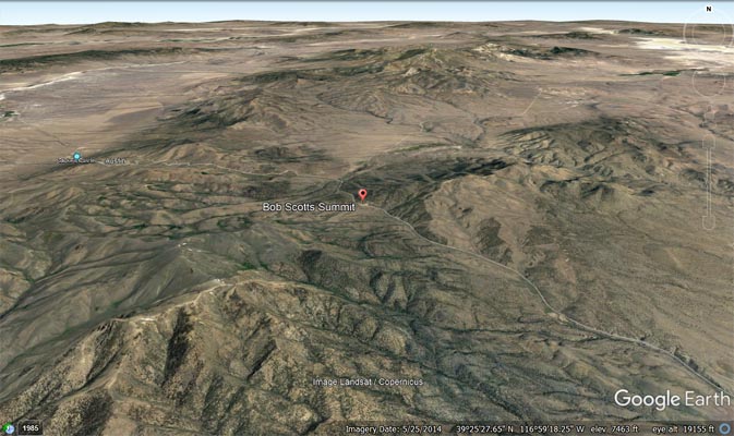
Google Earth |
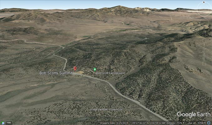
Google Earth |

Garmin Mapsource |
| Feature Name | ID | Class | County | State | Latitude | Longitude | Ele(ft) | Map | BGN Date | Entry Date |
| Bob Scotts Summit | 858969 | Summit | Lander | NV | 392728N | 1165948W | 7205 | Simpson Park Canyon | - | 12-DEC-1980 |
| Bob Scotts Historical Site | 864183 | Locale | Lander | NV | 392725N | 1165937W | 7205 | Simpson Park Canyon | - | 01-FEB-1990 |