
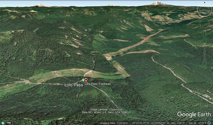
Lolo Pass
|
Lolo Pass |
Lolo Pass - Hood River County - Oregon - 3,438 feet
From US-26 at Mount Hood Village, about 10.7 miles northeast on FR-18 (Lolo Pass Road).
Paved on south side. 4WD on north side.
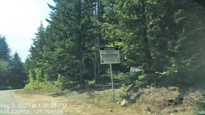
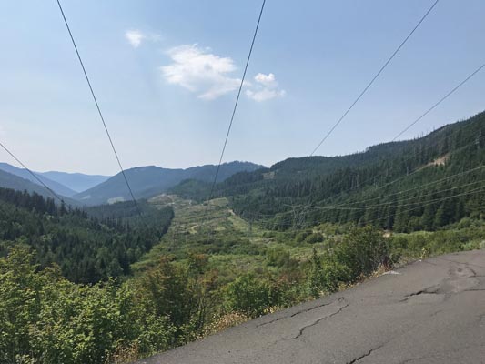
photos by Scott Westfall, 8/2/2021
At the summit. |
At the summit. |
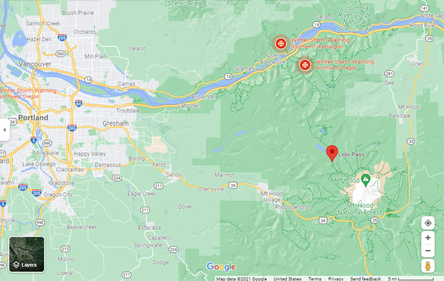
Google Maps |
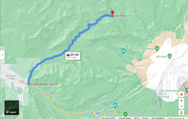
Google Maps |
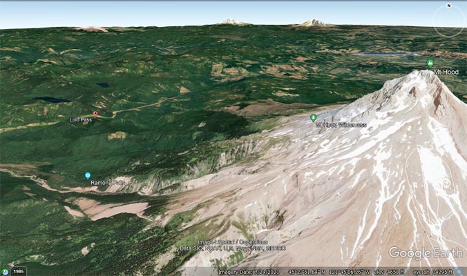
Google Earth |
Google Earth |
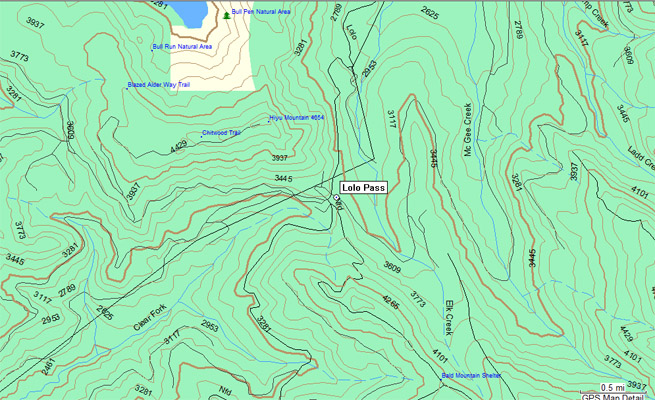
Garmin Mapsource |
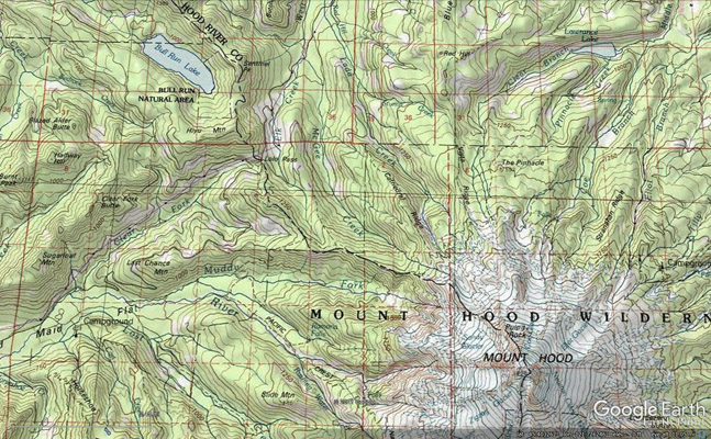
Google Earth |
Notes from Scott: Lolo Pass (3415') is listed as an upaved pass in Rever. I can assure you that it is paved for the entirety of
the 10.7 mile southern approach from US-26 on Lolo Pass Road. However, it is a very rough 17.8 mile road on the north side of the
pass frrom OR-281 Dee Highway to the summit -- high clearance 4x4 in some sections due to washouts and slides. It is currently closed
for repairs on the north side, presumably for the aforementioned reasons. The paved southern approach mainly follows a number of high
voltage power lines up the side of the pass, and has its share of heaves and potholes, not unlike sections of the Dalton Highway in Alaska.
But is easily passable by passenger car and would be a simple ride for any class of motorcycle.
| Feature Name | ID | Class | County | State | Latitude | Longitude | Ele(ft) | Map | BGN Date | Entry Date |
| Lolo Pass | 1145348 | Gap | Hood River | OR | 452536N | 1214745W | 3438 | Bull Run Lake | - | 28-NOV-1980 |