
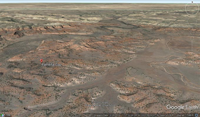
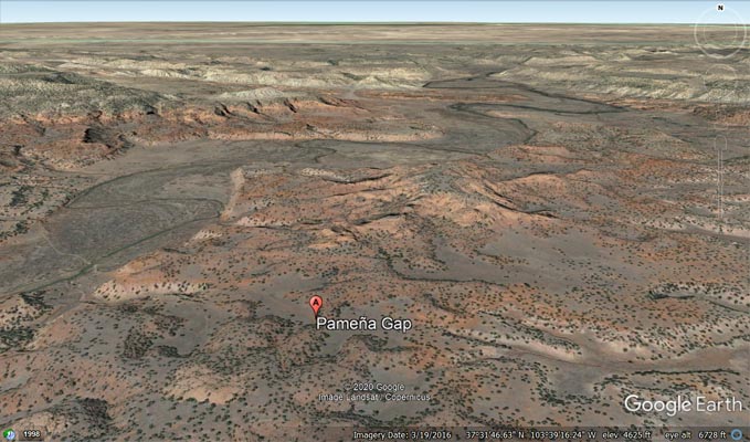
Pamena Gap
|
Pamena Gap |
Pamena Gap - Las Animas County - Colorado - 4,632 feet
Purgatorie River to northwest. Chucuaco Creek to southeast east.
On trail off of CR-165.4 northeast of Trinidad and south of La Junta.
No access. On private property.
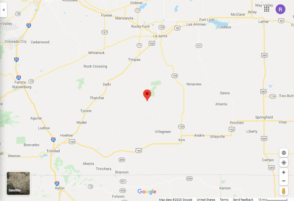
Google Maps |
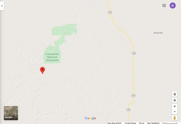
Google Maps |
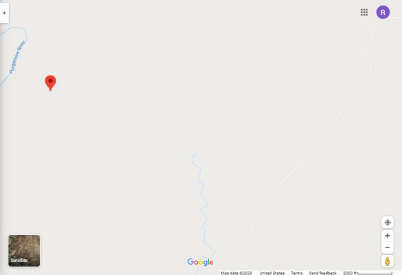
Google Maps |
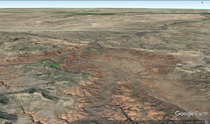
Google Earth |
Google Earth |
Google Earth |
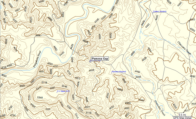
Garmin Mapsource |
Shown in "Colorado Road & Recreation Atlas" by Benchmark Maps.
Listed in "The Passes of Colorado" by Ed and Gloria Helmuth.
| Feature Name | ID | Class | County | State | Latitude | Longitude | Ele(ft) | Map | BGN Date | Entry Date |
| Pamena Gap | 195957 | Gap | Las Animas | CO | 373133N | 1033937W | 4632 | O V Mesa | - | 13-OCT-1978 |
| Feature Name | ID | Class | County | State | Latitude | Longitude | Ele(ft) | Map | BGN Date | Entry Date |
| Purgatoire River | 201784 | Stream | Bent | CO | 380354N | 1031037W | 3862 | Las Animas | 13-OCT-1978 | 13-AUG-2019 |
| Chacuaco Creek | 195956 | Stream | Las Animas | CO | 373326N | 1033828W | 4416 | O V Mesa | 13-OCT-1978 | 19-DEC-2017 |
| O V Mesa | 195953 | Summit | Las Animas | CO | 373052N | 1034033W | 5413 | O V Mesa | - | 13-OCT-1978 |