
Peon Pass
|
Peon Pass |
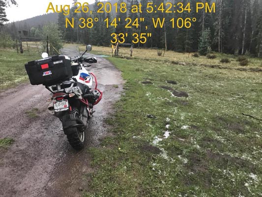
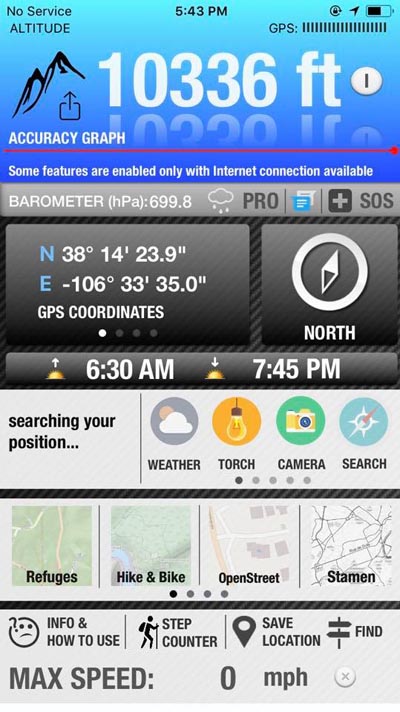
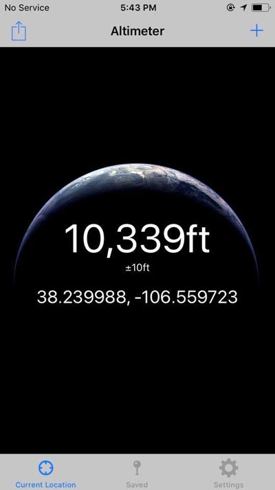
Peon Pass - Saguache County - Colorado - 10,336 feet - On the Continental Divide
(other name - Lujan Pass)
Lujan Creek to west. Spanish Creek to east.
FR-785 west of Saguach
gravel, dirt - dual sport
photos by Scott Westfall, 8/26/2018
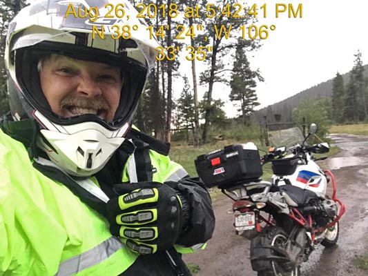
At the summit. |
At the summit, looking east. |
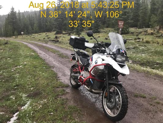
At the summit, looking west. |
At the summit. |
At the summit. |
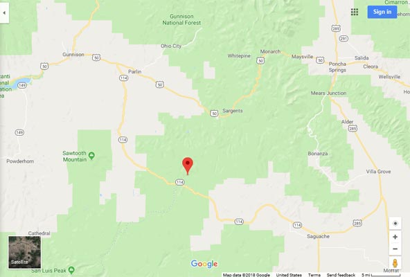
Google Maps |
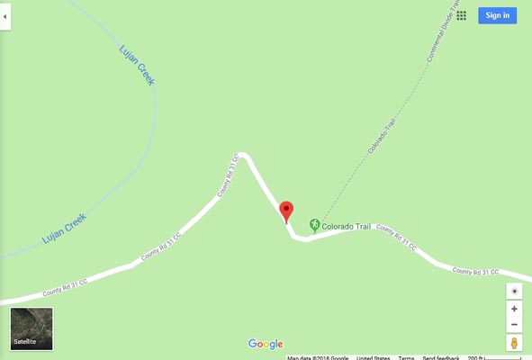
Google Maps |
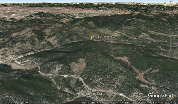
Google Earth |
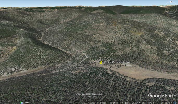
Google Earth |
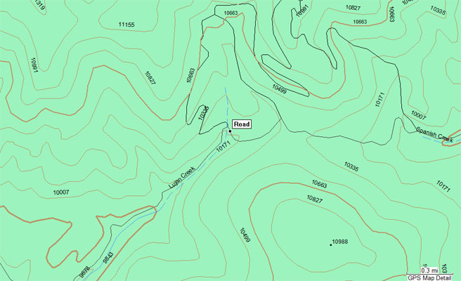
Garmin Mapsource |
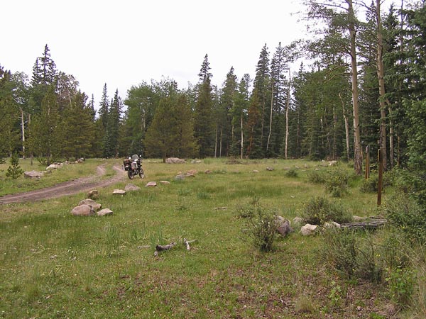
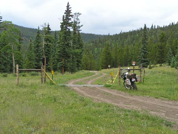
#90 - photos by Randy Bishop, 7/5/2007

At the summit. |
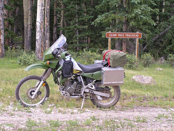
At the summit. |
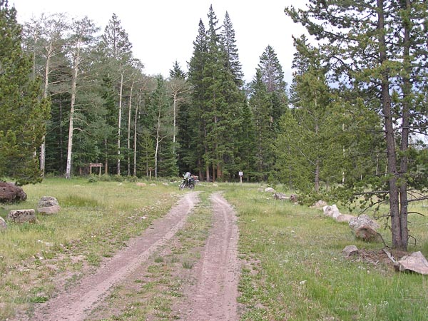
At the summit, looking east. |
At the summit, looking west. |
Heading back west. |
| Feature Name | ID | Class | County | State | Latitude | Longitude | Ele(ft) | Map | BGN Date | Entry Date |
| Lujan Creek | 190058 | Stream | Saguach | CO | 381310N | 1063606W | 9475 | North Pass | - | 13-OCT-1978 |