
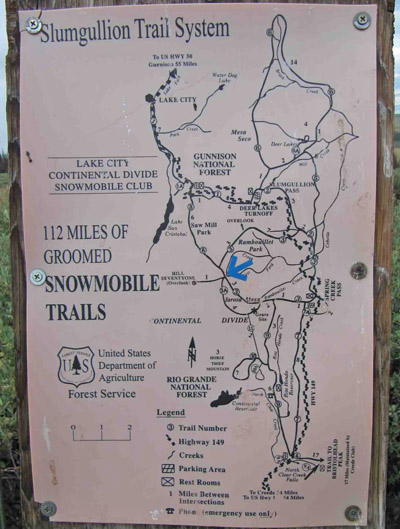
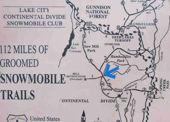
Rambouillet Pass
|
Rambouillet Pass |
Rambouillet Pass - Hinsdale County - Colorado - 11,749 feet - on the Continental Divide
West Fork Cebolla Creek to north. Big Buck Creek to south.
South of Lake City, west of CO-149 and Spring Creek Pass on FR-547.
gravel, dirt - dual sport or dirt bike
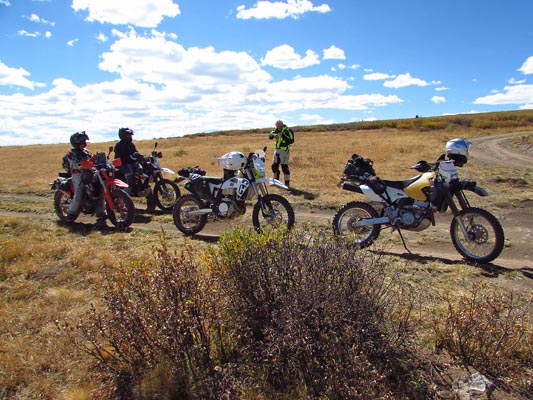
photos by Karst Postma, 8/24/2013
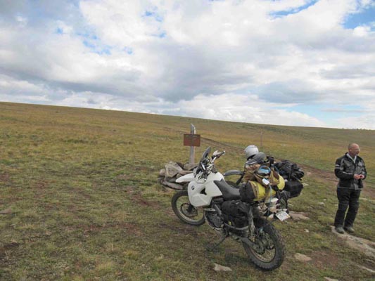
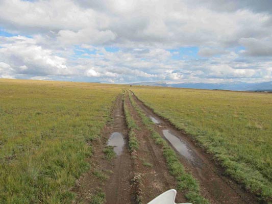
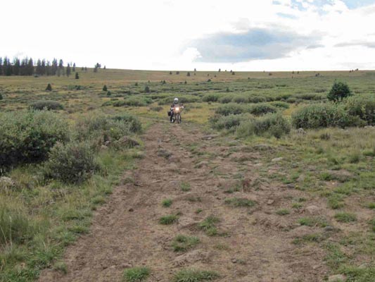
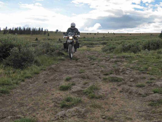
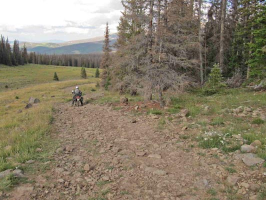
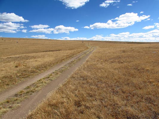
On the way to the summit. |
On the way to the summit. |
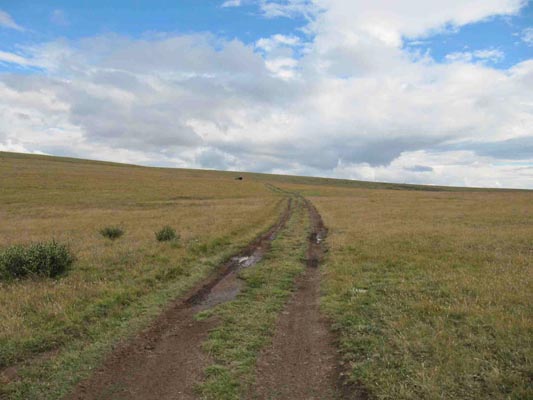
On the way to the summit. |
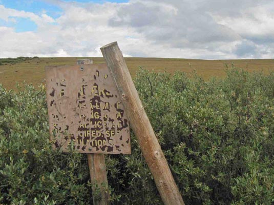
On the way to the summit. |
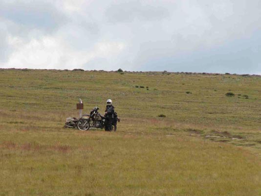
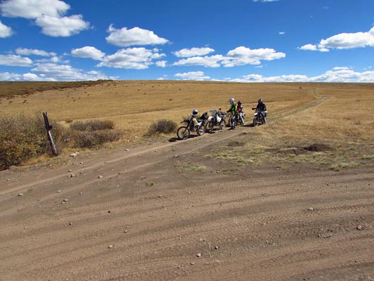
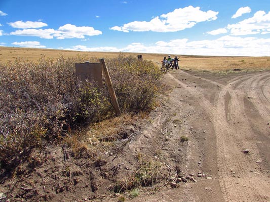
At the summit. |
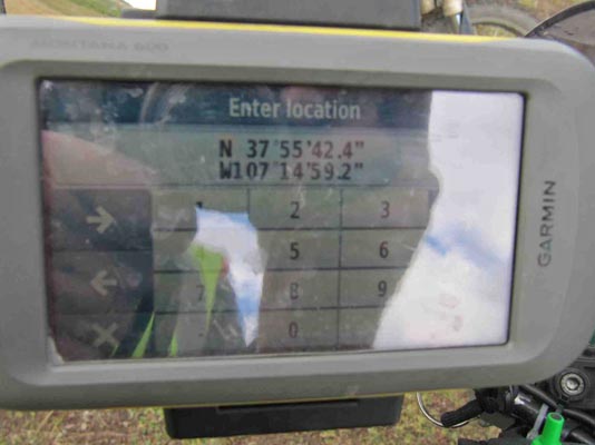
At the summit. |
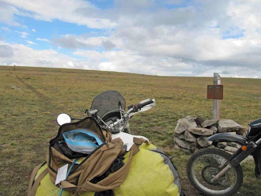
At the summit. |
At the summit. |
At the summit. |
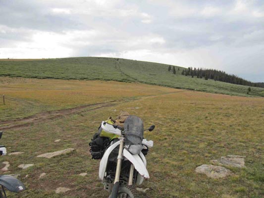
On the way back. |
On the way back. |
On the way back. |
On the way back. |
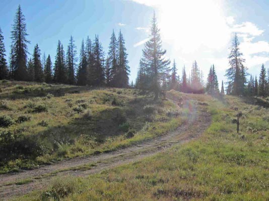
On the way back. |
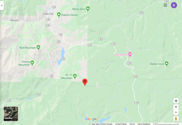
Google Maps |
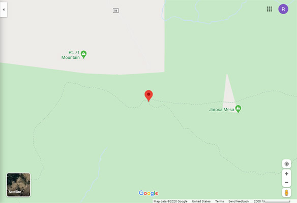
Google Maps |
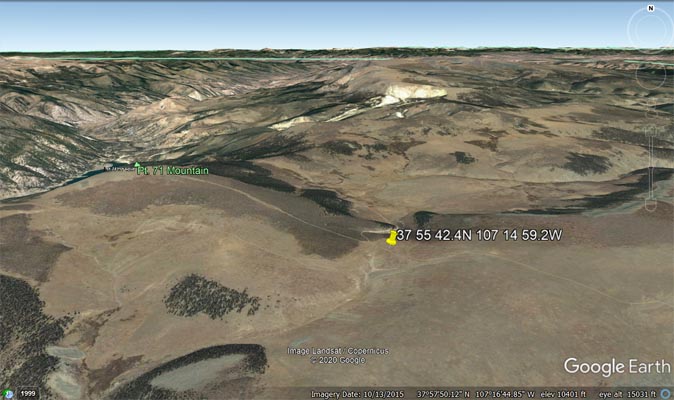
Google Earth, looking north. |
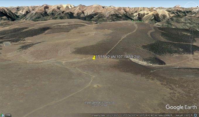
Google Earth, looking west. |
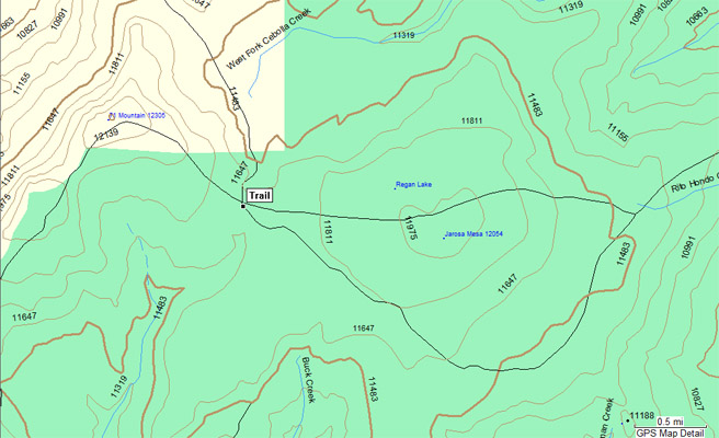
Garmin MapSource |
photos by Curtis Kohl
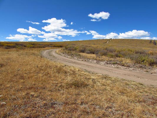
On the way to the summit. |
On the way to the summit. |
On the way to the summit. |
At the summit. |
At the summit. |
At the summit. |
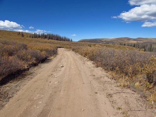
Notes from Karst: We got to this pass from Spring Creek Pass on CO-149. There is a small parking lot just
north of the pass and that is where our 7 mile track started. This is an unusual ride to get to a pass.
With the exception of two very short “barely steep” sections most of the approach is over more or less flat
country. The first barely steep section is an easy one, the second one is the difficult section of this road.
It is only about 30 yards long but is covered in loose big rocks. The remainder of the road is partially rocky
and partially muddy. The road is mostly two track, little used and some of it is overgrown with grass. There
are enough big rocks sticking out that could do a job on your bash plate so you constantly maneuver around
these obstacles.
I would say this road is not suitable for big bikes but very doable on smaller dual sport bikes with
intermediate skills.
We came back the same way we came in. FR-56 continues north from the summit to CO-149. It is bound to be
steeper, but I have no idea about conditions.
| Feature Name | ID | Class | County | State | Latitude | Longitude | Ele(ft) | Map | BGN Date | Entry Date |
| Rambouillet Park | 203306 | Flat | Hinsdale | CO | 375706N | 1071421W | 11607 | Slumgullion Pass | - | 13-OCT-1978 |
| Jarosa Mesa | 203288 | Summit | Hinsdale | CO | 375533N | 1071330W | 12060 | Slumgullion Pass | - | 13-OCT-1978 |
| West Fork Cebolla Creek | 187061 | Stream | Hinsdale | CO | 375758N | 1070956W | 10335 | Slumgullion Pass | - | 13-OCT-1978 |
| Big Buck Creek | 187452 | Stream | Hinsdale | CO | 375217N | 1071458W | 10282 | Hermit Lakes | - | 13-OCT-1978 |