
Raton Pass
|
Raton Pass |
Raton Pass - Las Animas County, Colorado / Colfax County, New Mexico - 7,881 feet
(other name - Cimarron)
Raton Creek to north. Railroad Canyon to south.
On the north-bound (east) side of I-25 between Raton NM and Trinidad CO at the state border.
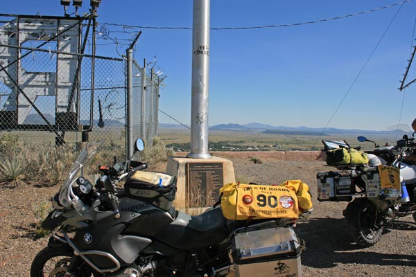
Vintage 1929 bronze plaque is at the north end of the pull-out, behind the fence by the large water tank.
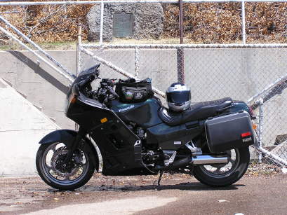
pavement - road bike
photos by Randy Bishop, 05/15/2017
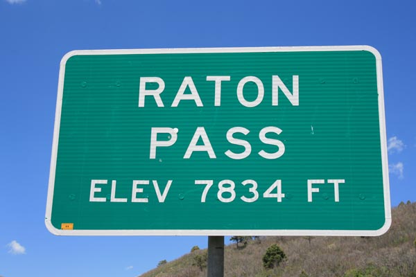
At the summit. |
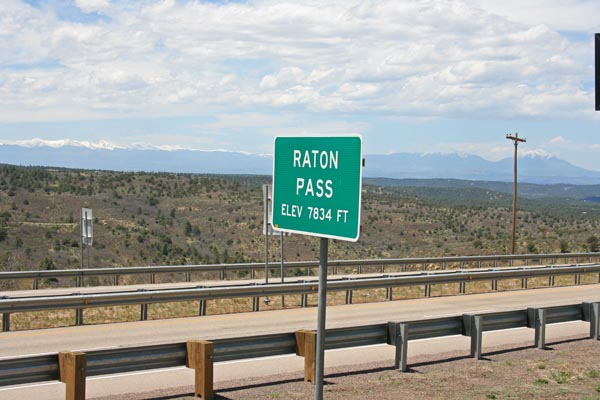
At the summit. |
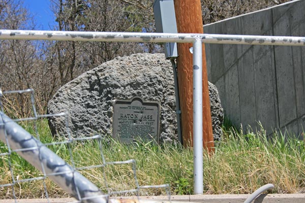
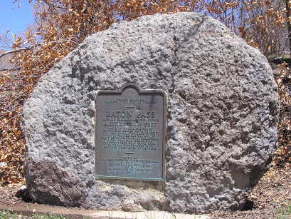
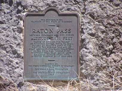
Vintage 1929 bronze marker at the summit. |
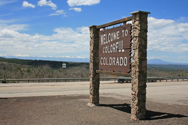
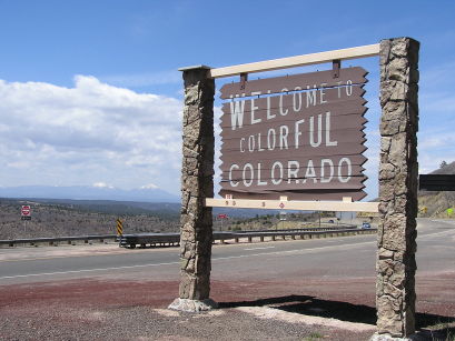
Welcome to Colorful Colorado |
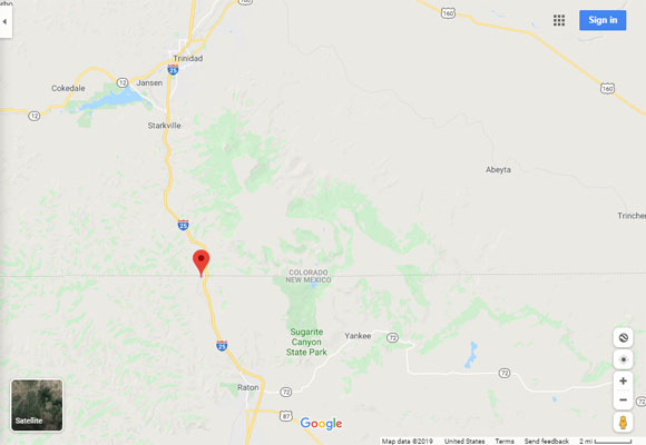
Google Maps |
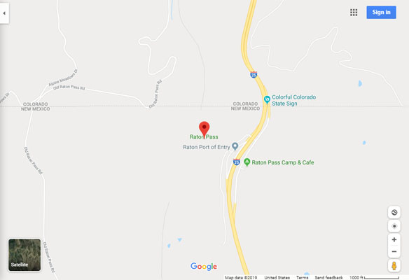
Google Maps |
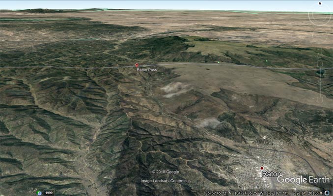
Google Earth |
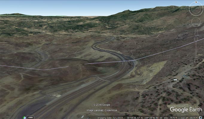
Google Earth |
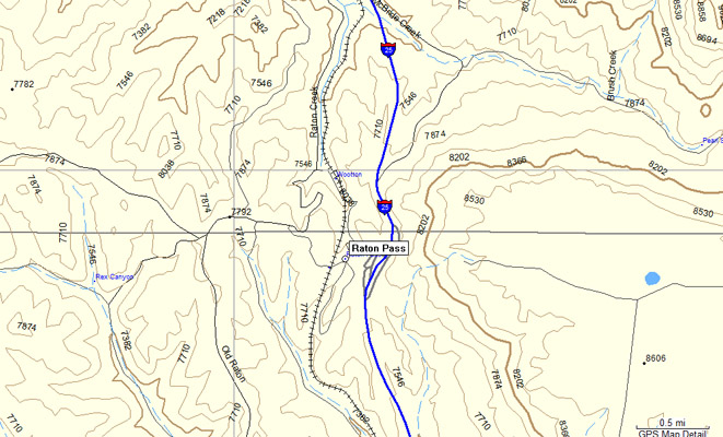
Garmin MapSource |
#13 - photos by Randy Bishop, 04/23/2005
Vintage 1929 bronze marker at the summit. |
Vintage 1929 bronze marker at the summit. |
At the summit. |
At the summit, looking north toward Spanish Peaks. |
The 1929-vintage
History Colorado (State Historical Society of Colorado) marker reads:
This memorial is the property of the State of Colorado. Raton Pass. Between Colorado and New Mexico.
Altitude 7,881 feet. "Raton" is Spanish for "mouse." On mountain branch Santa Fe Trail, crossed by Kearny's
Army of the West in the Mexican War and by First Regiment, Colorado Volunteers in the Civil War.
"Uncle Dick" Wootton's toll road built 1865. Railroad constructed 1878. Improved highway built 1919-1922.
Erected by the State Historical Society of Colorado from the Mrs. J. N. Hall Foundation and by the State
Highway Department. 1929.
Old Raton Pass
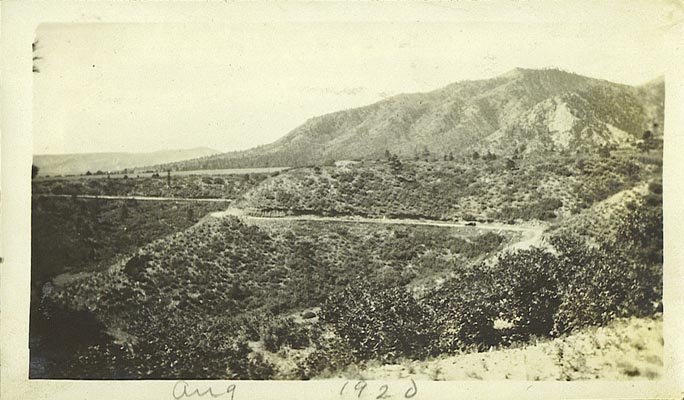
1920, near the summit of the old Raton Pass road. |
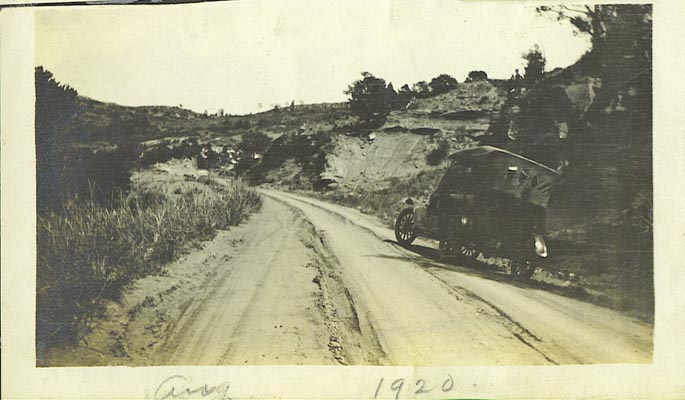
1920, near the summit of the old Raton Pass road. |
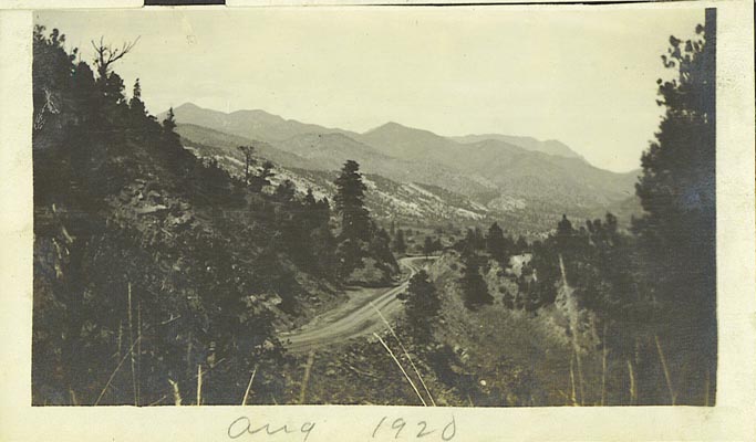
1920, near the summit of the old Raton Pass road. |

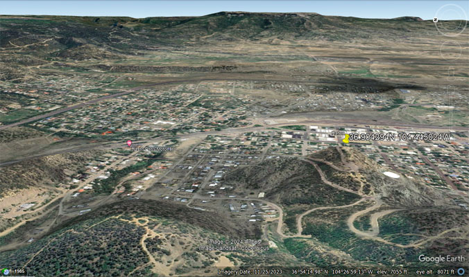
1920 view of Goat Hill Scenic Overlook, Raton, NM, looking east. |
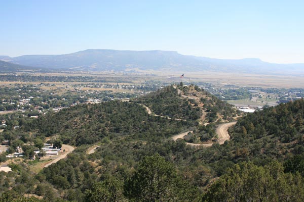
2014 view of Goat Hill Scenic Overlook, Raton, NM, looking east. |
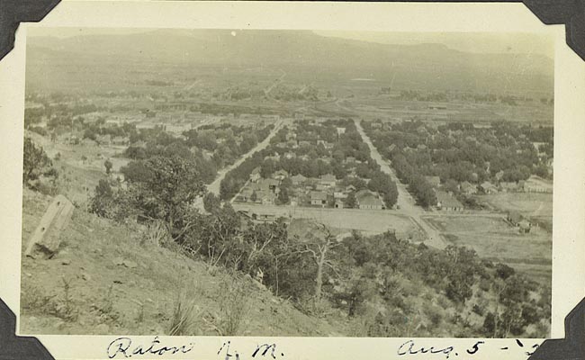
1920 view from Goat Hill Scenic Overlook, Raton, NM, looking east. |
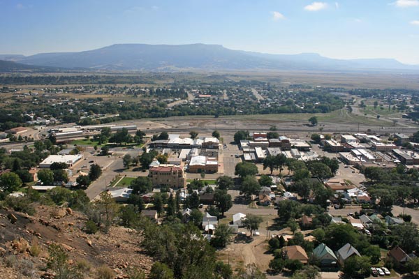
2014 view from Goat Hill Scenic Overlook, Raton, NM, looking east. |
Black and white photos taken by my grandfather Albert Bishop, August 1920. Color photos by Randy Bishop, 9/27/2014.
The car is a 1917 Ford Model T they drove about 400 miles from south-central Nebraska to Penrose CO and then to Raton NM.
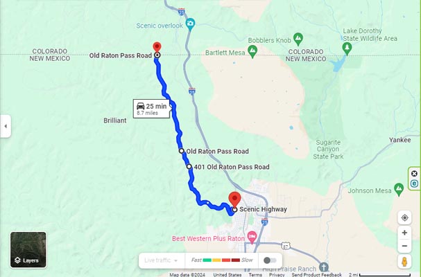
Google Maps - Hill St to Welcome Center to Boulders to State Line |
Google Earth - Goat Hill |
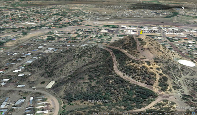
Google Earth - Goat Hill |

Google Maps - Welcome Center |

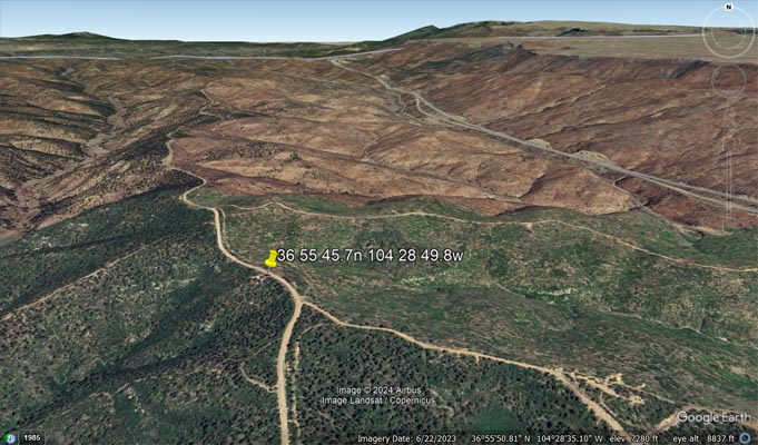
Google Earth - Welcome Center |
Google Earth - Welcome Center |
Google Maps - boulders, berms and ditch |

Google Earth - boulders, berms and ditch |
Google Earth - boulders, berms and ditch |

Google Earth - Colorado / New Mexico state line |
Google Earth - Colorado / New Mexico state line |

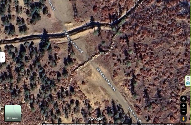
Google Maps - Tunnel just off I-25, exit 2. |
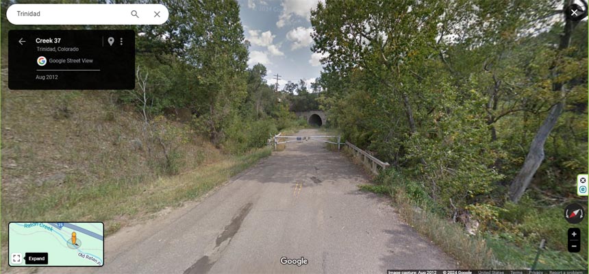
Google Maps - Tunnel just off I-25, exit 2. |
Google Earth - Tunnel, looking south. |
From south to north, the old Raton Pass road from Hill St (36 54 15.5N 104 26 51.7W) to the welcome center (36 55 45.7N 104 28 49.8W, about 3.8 miles),
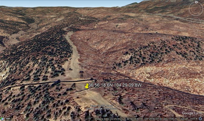
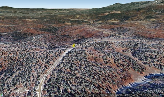
to the boulders (36 56 18.6N 104 29 09.8W, about another 0.7 miles) and to the state line (36 59 37.8N 104 30 13.4W, about another 4.2 miles).
As of 2014 (and probably much earlier) the northbound road is closed at the boulders and, as of 2022, also by two gates before the welcome center.
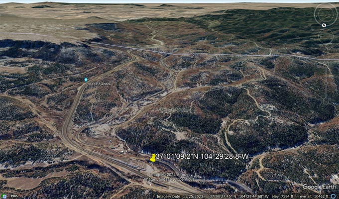
The southbound road off I-25 at exit 2 is blocked by a gate right off the highway and before the tunnel under the railroad tracks (37 01 09.4N 104 29 29.2W).
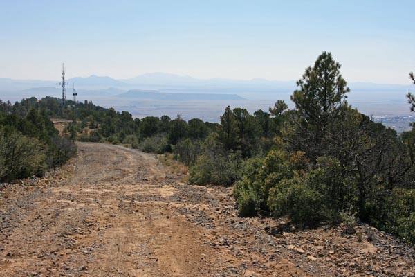
There are many private and restricted roads on the north side of the summit.
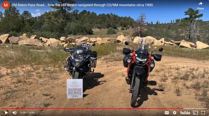
The 7890-foot old Raton Pass summit appears to be on a fairly level ridge about 1/4 mile south of the state line.
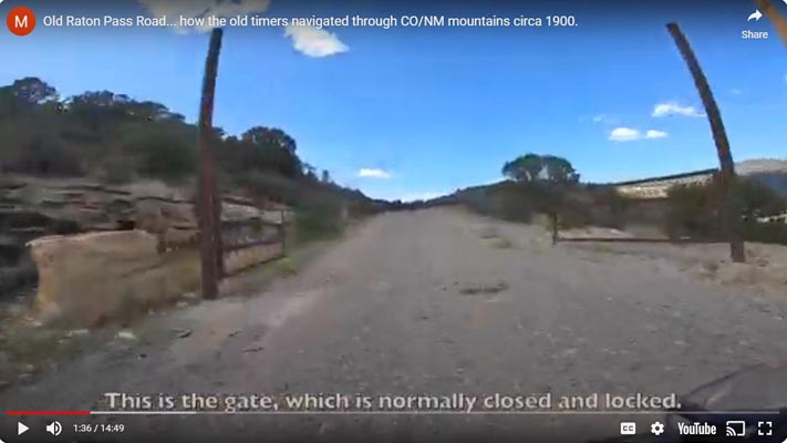
Gate just past turn-off for Goat Hill. 36 54 15.5N 104 26 51.7W |

Gate just past antenna farm. 36 54 31.2N 104 28 06.1W |
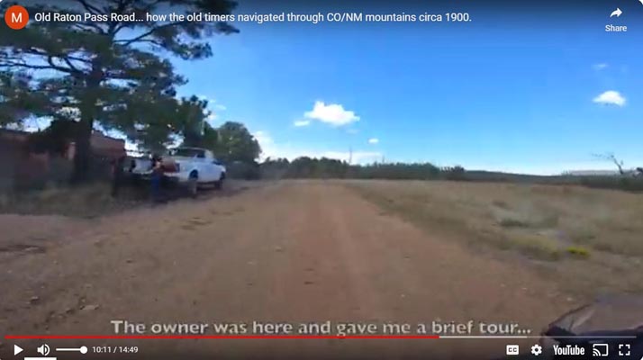
Welcome center and land owner's pickup. 35 55 45.7N 104 28 49.8W |
At the wall of boulders. 36 56 18.6N 104 29 09.8W |
Screen captures from YouTube video done in 2022 by C.K. Shepherd's and Mark Hunnibell's ride across America.
Looking back toward Raton. |

The New Mexico welcome center. |
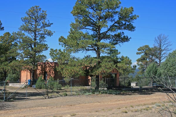
The New Mexico welcome center. |

The New Mexico welcome center. |

The New Mexico welcome center. |
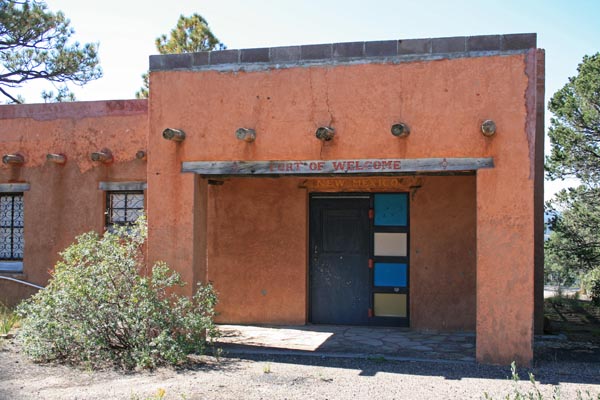
The New Mexico welcome center. |
Another 1917 Model T Ford? |
My photos taken in 2014 of the New Mexico "Port of Welcome" when there was a tall observation tower on the other side of the road and when there were no gates on the road.
The 9/11 memorial plaque. |
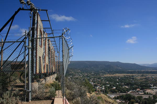
The large "Raton" sign. |
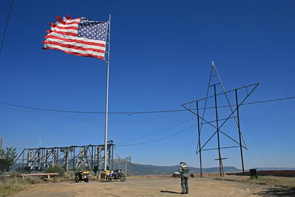
The US flag and "Raton" sign that can be seen from I-25. |
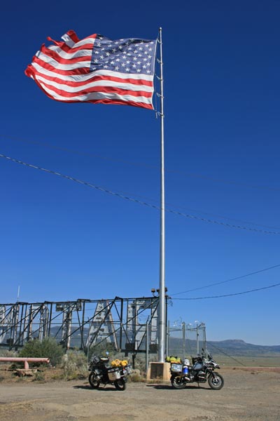
At Raton's Goat Hill Scenic Overlook. |
During a Tour of Honor ride in 2022, the 9/11 Memorial Plaque at Raton's Goat Hill Scenic Overlook.
About 1/2 mile of rough road off Hill street. 36 54 15.5N 104 26 42.1W
Fran Ito of the Land of Enchantment BMW Riders found this link for a good YouTube video done by C.K. Shepherd's and Mark Hunnibell's
ride across America.
The link: Old Raton Pass Scouting Trip, 2022.
| Feature Name | ID | Class | County | State | Latitude | Longitude | Ele(ft) | Map | BGN Date | Entry Date |
| Raton Pass | 898411 | Gap | Colfax | NM | 365928N | 1042912W | 7798 | Raton | - | 13-NOV-1980 |