
Scotch Creek Pass
|
Scotch Creek Pass |
Scotch Creek Pass - Dolores / San Juan Counties - Colorado - 10,419 feet
Scotch Creek to north and west. Hermosa Creek and West Cross Creek to east.
West of the Purgatory Ski Area, on FR-550,
also known as the "Old Scotch Creek Toll Road" or the "Pinkerton Trail".
gravel - dual sport
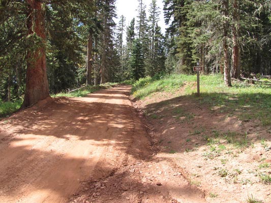
photos by John Meyer, 9/20/2018
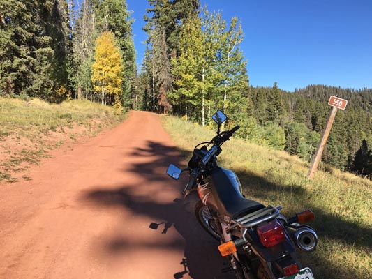
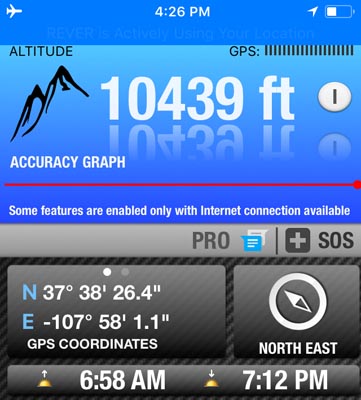
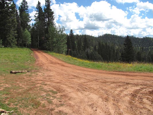
At the summit. |
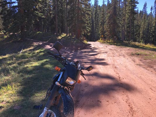
At the summit. |
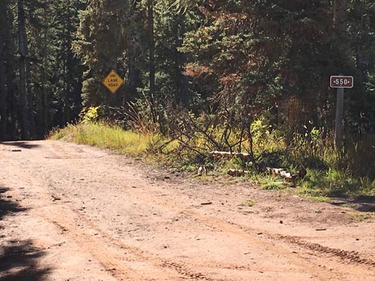
At the summit. |

At the summit. |

At the summit. |
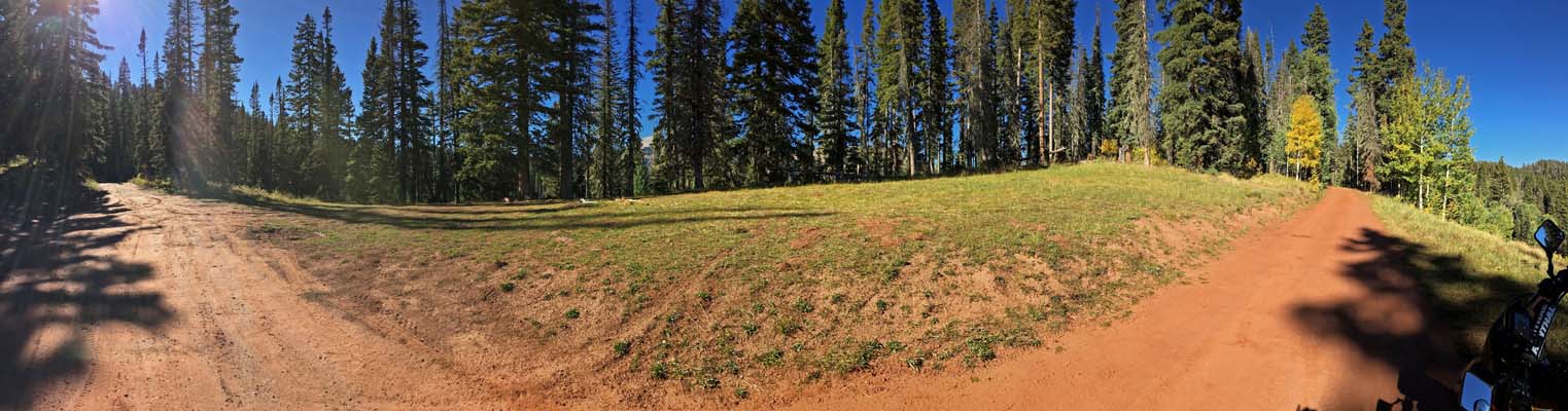
At the summit. |
At the summit. |
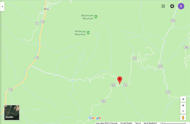
Google Maps |
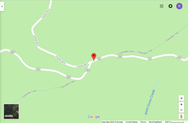
Google Maps |
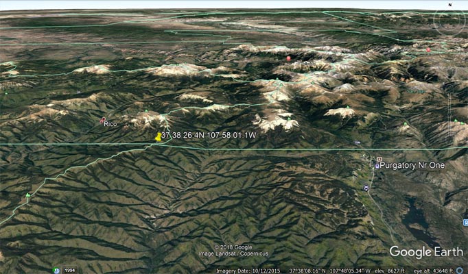
Google Earth |
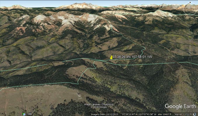
Google Earth |
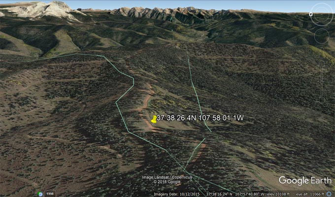
Google Earth, looking east. |
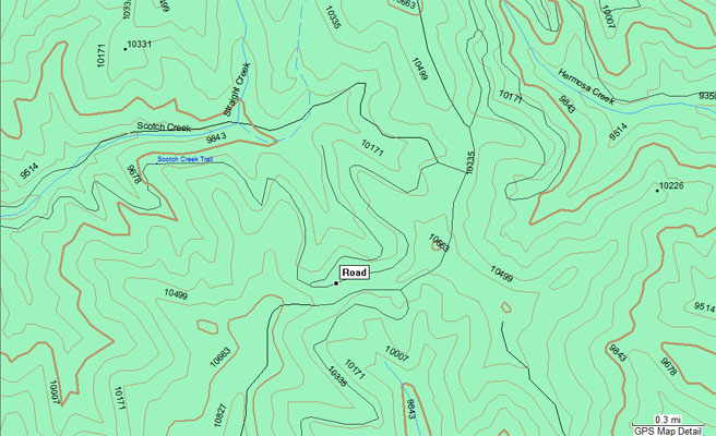
Garmin MapSource |
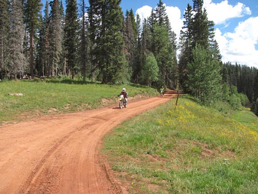
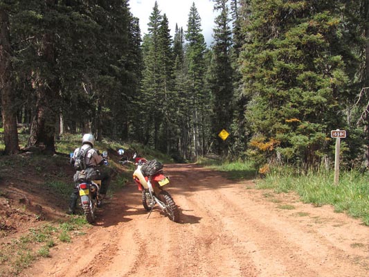
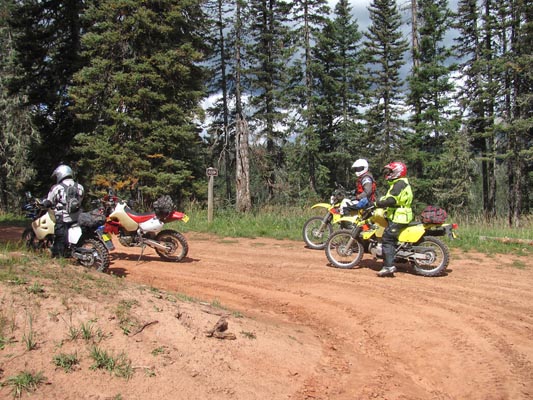
photos by Curtis Kohl, 9/2/2013
At the summit. |
At the summit. |
At the summit. |
At the summit. |
At the summit. |
| Feature Name | ID | Class | County | State | Latitude | Longitude | Ele(ft) | Map | BGN Date | Entry Date |
| Scotch Creek | 176839 | Stream | Dolores | CO | 373913N | 1080242W | 8527 | Rico | - | 13-OCT-1978 |
| Scotch Creek Trail | 187725 | Trail | Dolores | CO | 373854N | 1075851W | 9974 | Hermosa Peak | - | 13-OCT-1978 |