
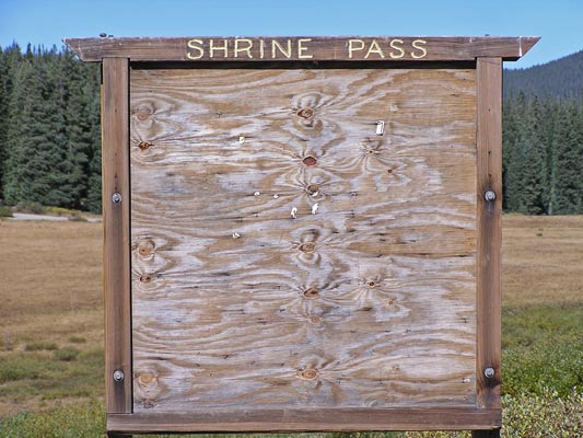
Shrine Pass
|
Shrine Pass |
Shrine Pass - Eagle / Summit Counties - Colorado - 11,089 feet
Turkey Creek to west. West Tenmile Creek to east.
FR-16 northwest of Vail Pass
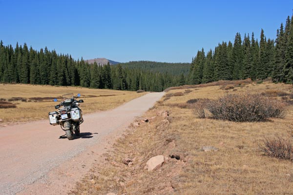
gravel - road bike or dual sport
photos by Randy Bishop, 10/7/2020
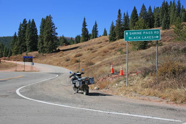
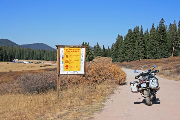
About 2.5 miles souteast of the summit. |
About 2.5 miles souteast of the summit. |
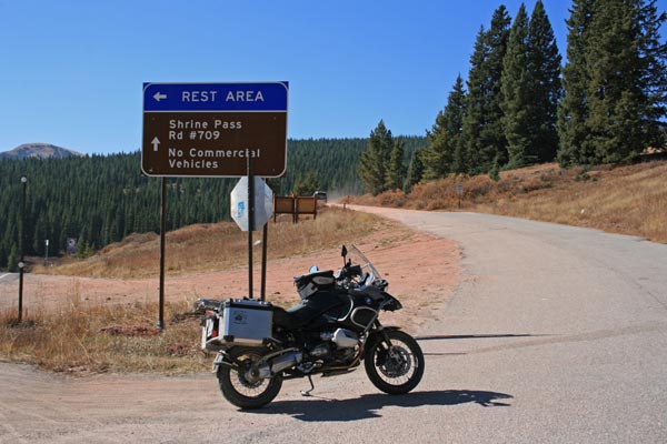
0.3 miles south of the summit. |
0.3 miles south of the summit. |
0.3 miles south of the summit. |
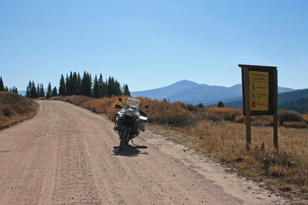
0.3 miles south of the summit. |
0.3 miles south of the summit. |
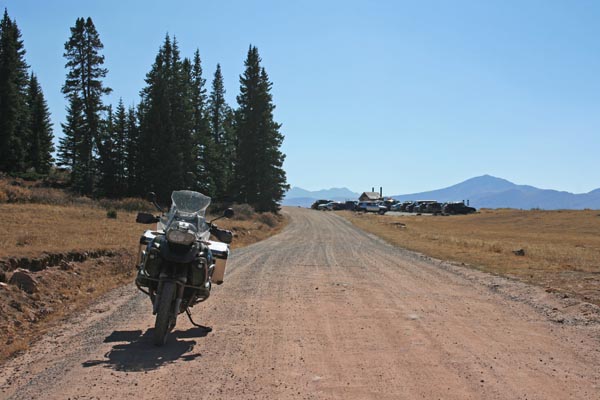
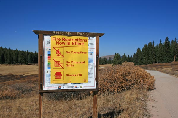
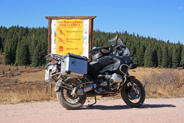
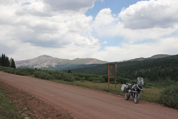
At the summit (watershed divide). |
At the summit (watershed divide). |
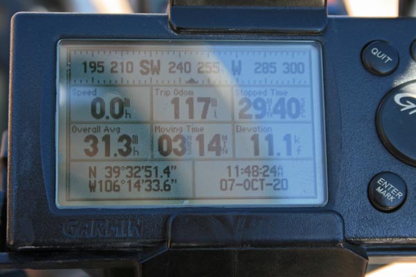
At the summit (watershed divide). |

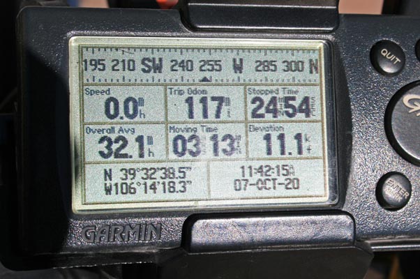
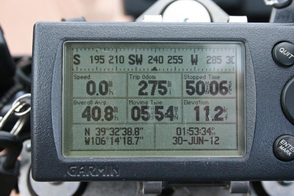
At the summit, rever.co display. |
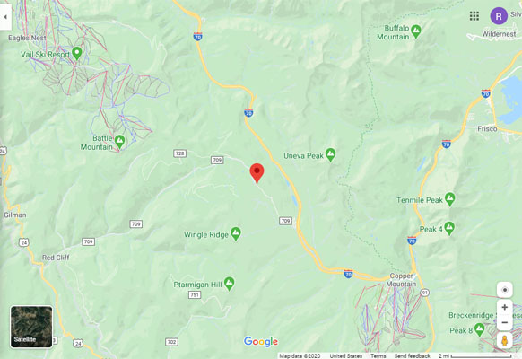
Google Maps |
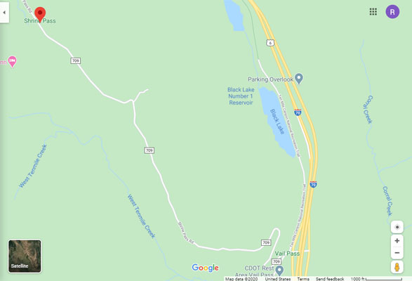
Google Maps |
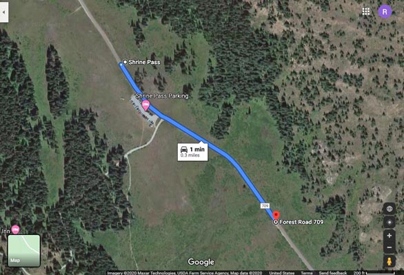
Google Maps, 0.3 miles from sign to watershed divide. |
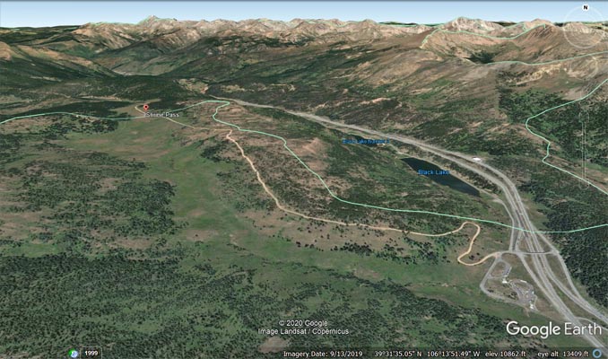
Google Earth |
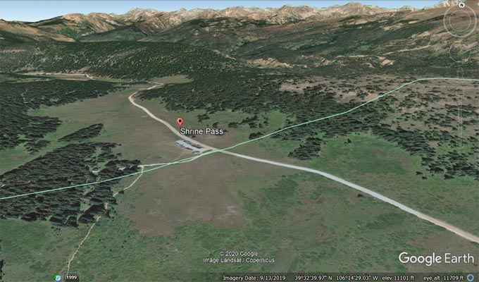
Google Earth |
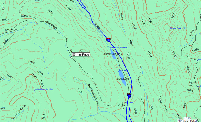
Garmin Mapsource |
photos by Randy Bishop, 6/30/2012

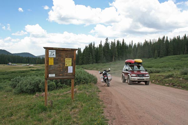
0.3 miles south of the summit. |
0.3 miles south of the summit, looking north. |
0.3 miles south of the summit, looking south. |
0.3 miles south of the summit. |
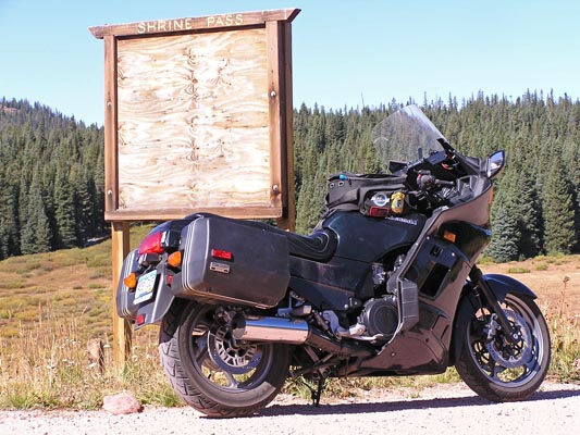
#30 - photos by Randy Bishop, 09/08/2005
0.3 miles south of summit. |
0.3 miles south of summit.. |
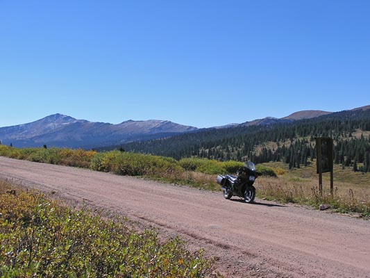
0.3 miles south of summit, looking south. |
| Feature Name | ID | Class | County | State | Latitude | Longitude | Ele(ft) | Map | BGN Date | Entry Date |
| Shrine Pass | 176180 | Gap | Summit | CO | 393250N | 1061432W | 11086 | Vail Pass | 01-JAN-1950 | 13-OCT-1978 |