
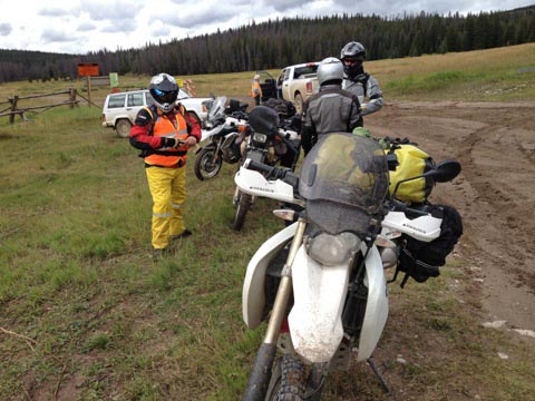
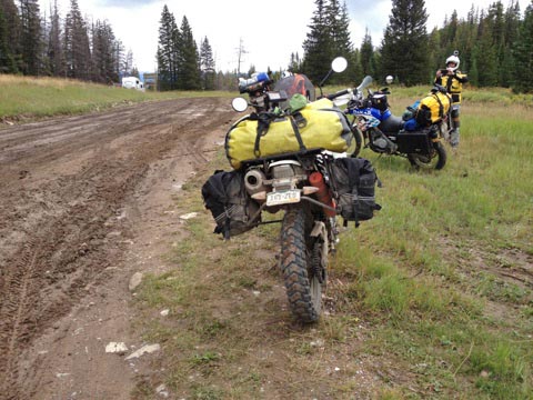
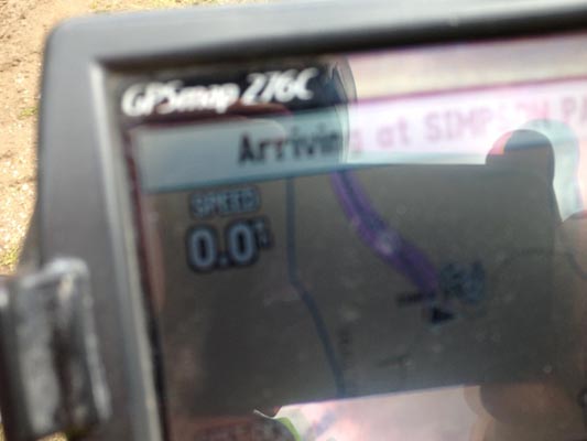
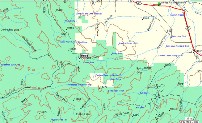
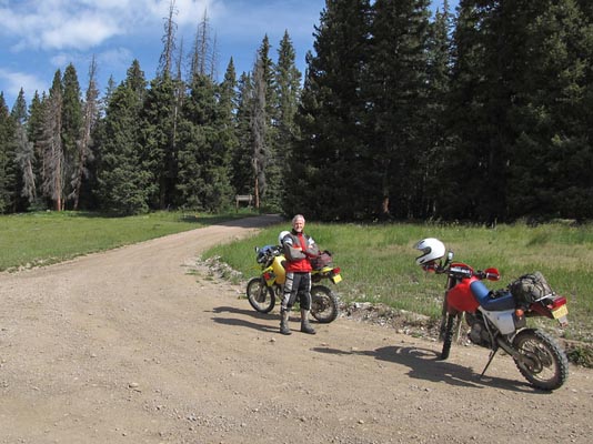
Simpson Pass
|
Simpson Pass |
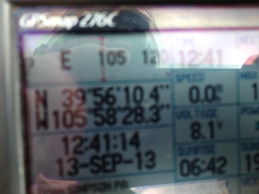
Simpson Pass - Grand County - Colorado - 9,900 feet
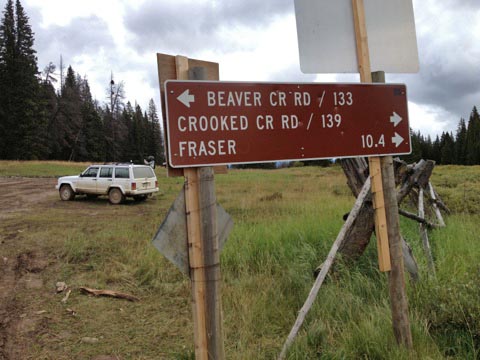
Hull and Simpson Creeks to west. Crooked Creek to east.
West of Fraser.
dirt - dual-sport bike
photos by Karst Postma, 9/13/2013
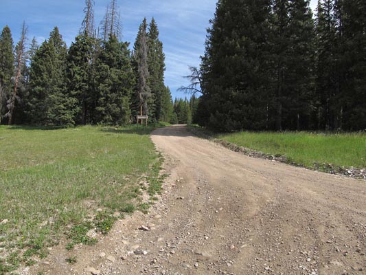
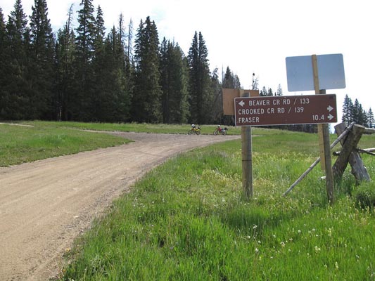
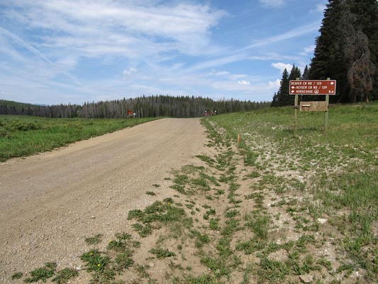
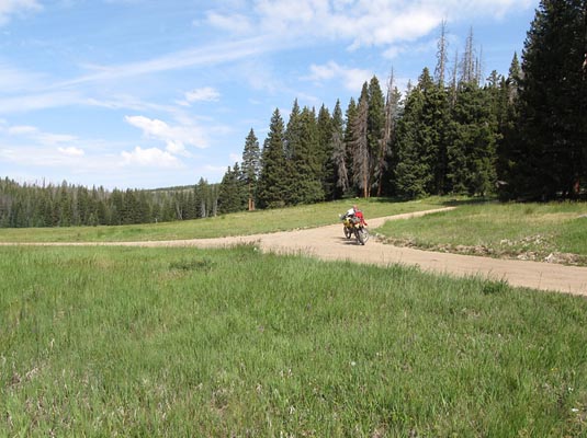
At the summit. |
At the summit. |
At the summit. |
At the summit. |
At the summit. |
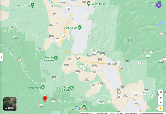
Google Maps |
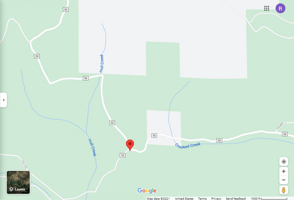
Google Maps |

Google Earth |
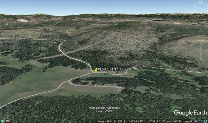
Google Earth |
Garmin MapSource |

Garmin MapSource |
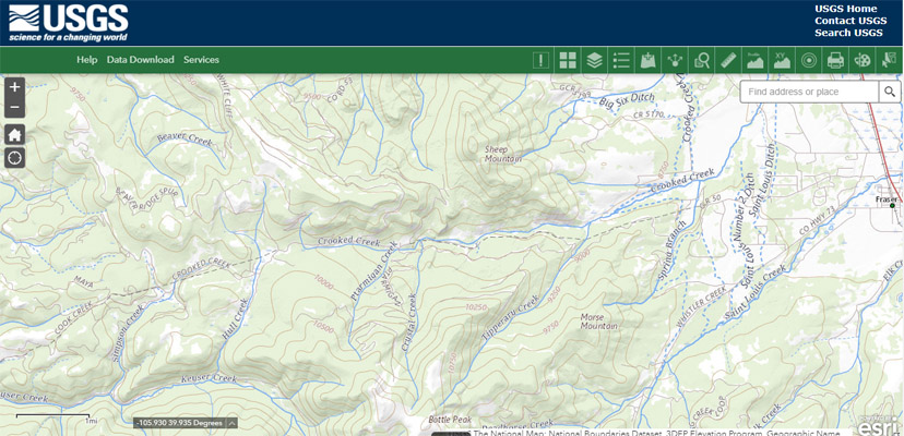
USGS TNM |
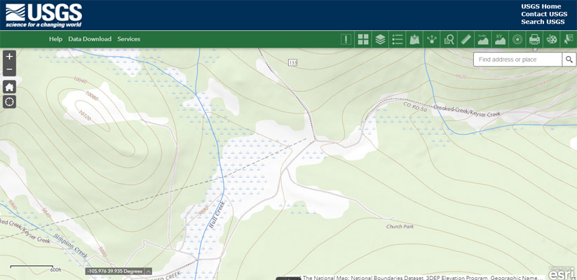
USGS TNM |
photos by Curtis Kohl
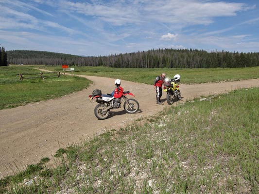
At the summit. |
At the summit. |
At the summit. |
At the summit. |
At the summit. |
At the summit. |
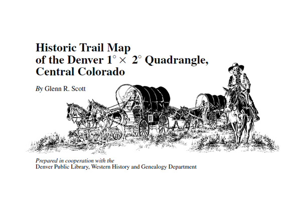
Historic Trail Map |
"Historic Trail Map of the Denver 1° × 2° Quadrangle, Central Colorado" by Glenn R. Scott.
Prepared in cooperation with the Denver Public Library, Western History and Genealogy Department.
Pamphlet to accompany Geologic Investigations Series I-2639, 1999
U.S. Department of the Interior, U.S. Geological Survey
USGS Historic Trail Map
Notes from the pamphlet:
MOUNTAIN PASSES IN THE DENVER QUADRANGLE, showing their altitudes and describing their locations.
Simpson Pass, 9,900 feet. From head of Crooked Creek arm of Fraser River to Hull Creek fork of
Keyser Creek Branch of Williams River, NW 1/4 sec. 26, T. 1 S., R. 77 W., Grand County. Primitive road.
| Feature Name | ID | Class | County | State | Latitude | Longitude | Ele(ft) | Map | BGN Date | Entry Date |
| Hull Creek | 180935 | Stream | Grand | CO | 395439N | 1055932W | 9390 | Bottle Pass | - | 13-OCT-1978 |
| Crooked Creek | 178413 | Stream | Grand | CO | 400019N | 1055053W | 8294 | Strawberry Lake | - | 13-OCT-1978 |
| Simpson Creek | 175666 | Stream | Grand | CO | 395429N | 1060104W | 9071 | Sylvan Reservoir | - | 13-OCT-1978 |