
Soldier Summit
|
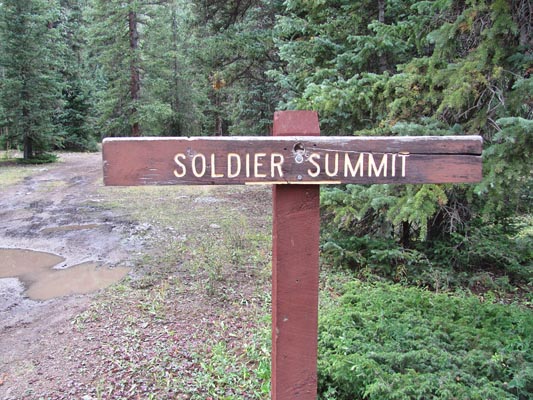
Soldier Summit |
Soldier Summit - Gunnison County - Colorado - 10,628 feet
Soldier Creek to north. Elk Creek to south. Narrow Grade Creek to east.
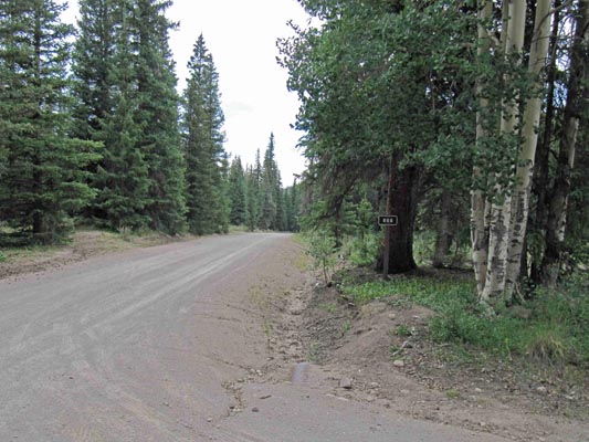
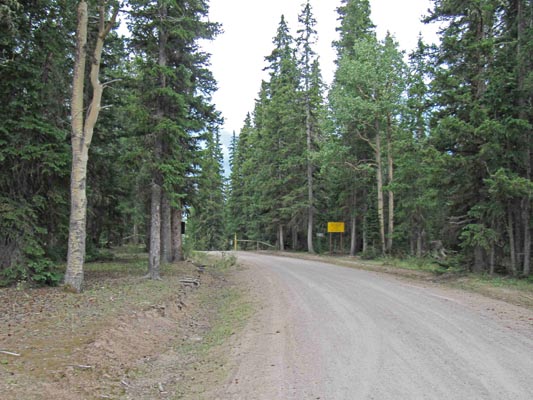
On FR-868 (Alpine Plateau Road) south of Blue Mesa Reservoir and about 5 miles west of CO-149.
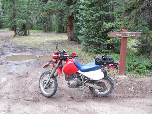
dirt - dual sport
photos by Karst Postma, 7/27/2013
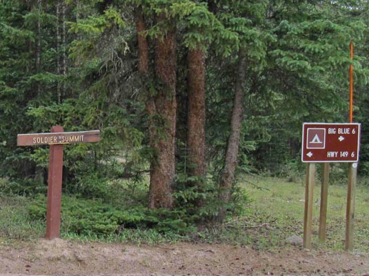
At the summit. |
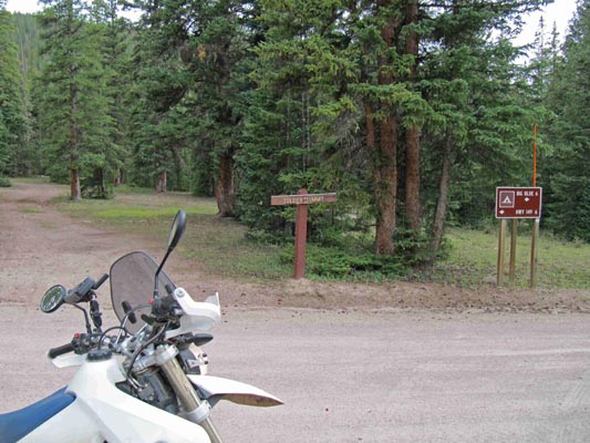
At the summit. |
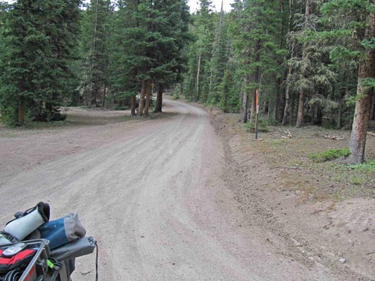
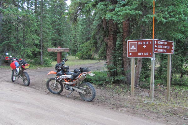
FR-868 at the summit. |
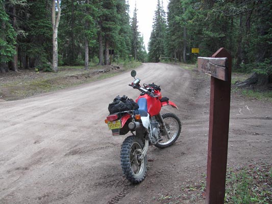
At the summit. |
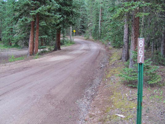
FR-867 at the summit. |
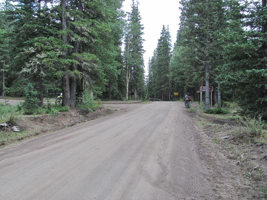
At the summit. |
At the summit. |
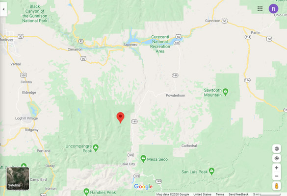
Google Maps |
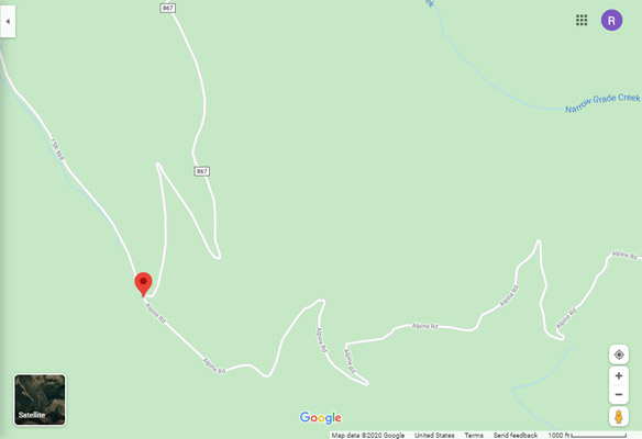
Google Maps |
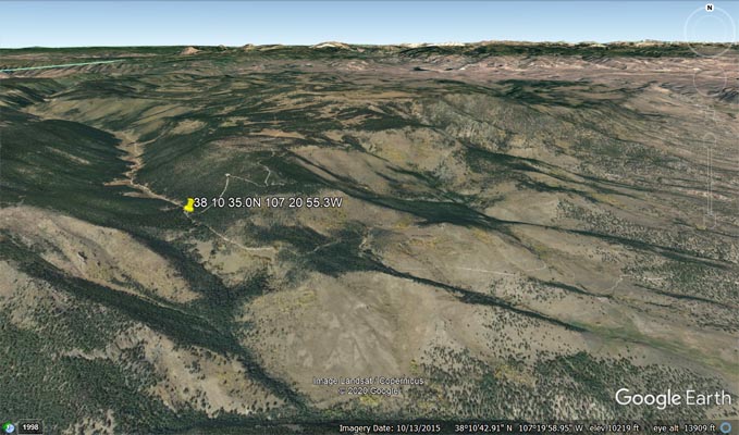
Google Earth |
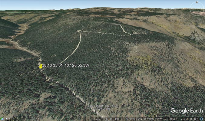
Google Earth |
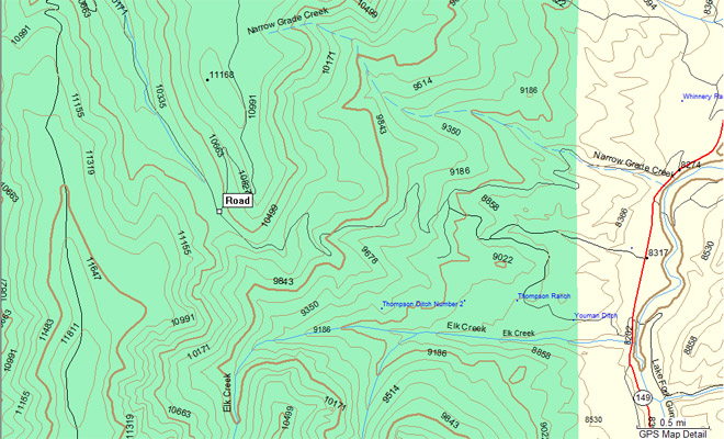
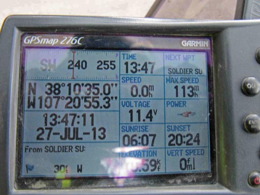
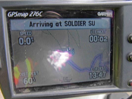
Garmin MapSource |
photos by Curtis Kohl
At the summit. |
At the summit. |
At the summit. |
At the summit. |
At the summit. |
At the summit. |
At the summit. |
Notes from Karst: Shu discovered this place last year. I have not found any references to it anywhere,
but the sign is there. From CO-149 (Lake City - Gunnison) take dirt FR-868 on a 5-mile ride to the
summit. It is a narrow road, but a big dual sport bike can do it easily.
| Feature Name | ID | Class | County | State | Latitude | Longitude | Ele(ft) | Map | BGN Date | Entry Date |
| Soldier Creek | 188477 | Stream | Gunnison | CO | 381343N | 1072315W | 9544 | Sheep Mountain | - | 13-OCT-1978 |
| Alpine Plateau | 188490 | Summit | Gunnison | CO | 381312N | 1072053W | 11512 | Alpine Plateau | 13-OCT-1978 | 08-FEB-2018 |