
Spar Hill Pass
|
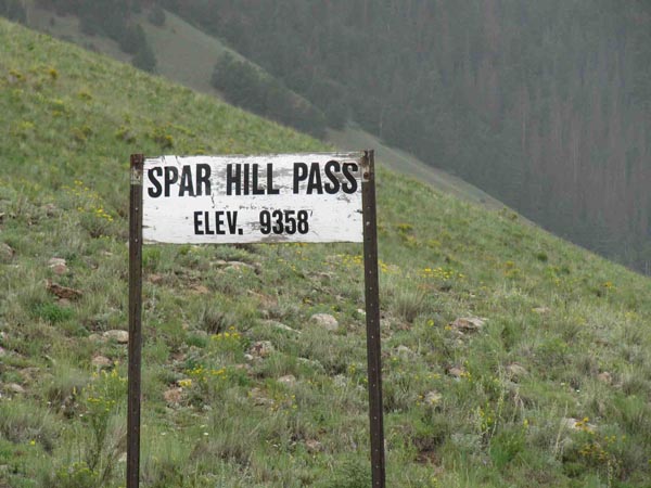
Spar Hill Pass |
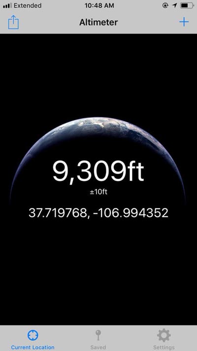
Spar Hill Pass - Mineral County - Colorado - 9,358 feet
A gulch of Lime Creek to north. A second gulch of Lime Creek to south.
About 12 miles south of Creede on FR-528.
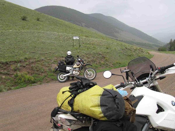
gravel - dual sport
photos by Scott Westfall, 8/26/2018
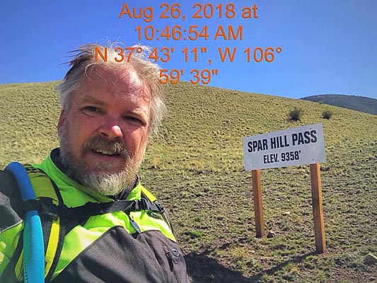
At the summit. |
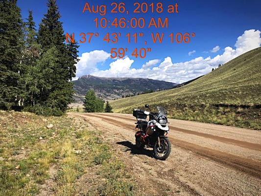
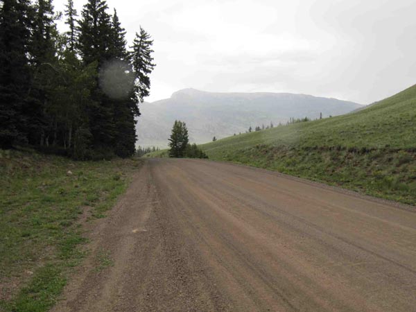
At the summit, looking north. |
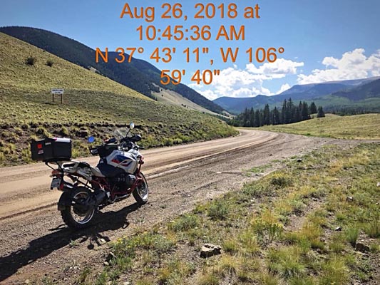
At the summit, looking south. |

At the summit. |
At the summit. |

Google Maps |
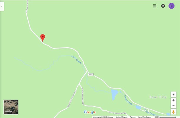
Google Maps |
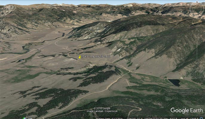
Google Earth |
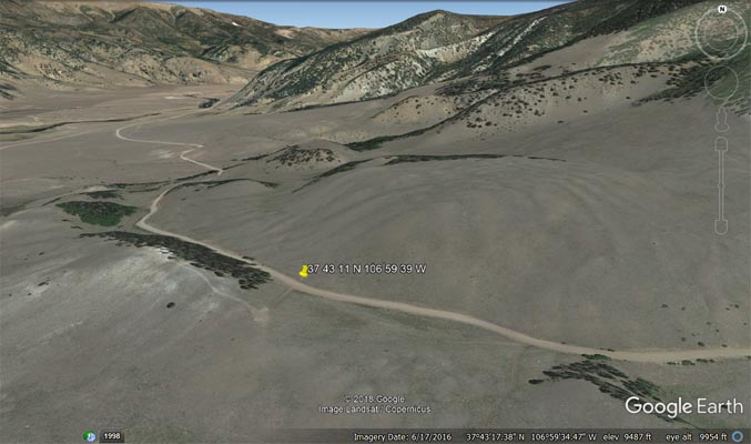
Google Earth |
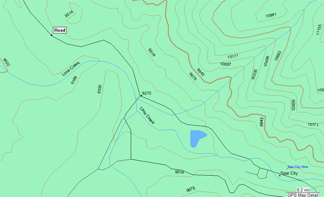
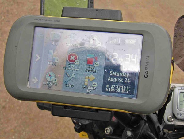
Garmin Mapsource |
photos by Karst Postma, 8/24/2013
At the summit. |
At the summit, looking north. |
At the summit, looking south. |
At the summit. |
photo by Roamin Carloski
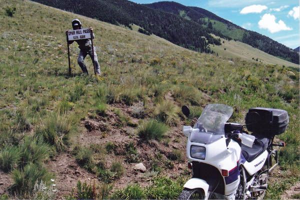
At the summit. |
| Feature Name | ID | Class | County | State | Latitude | Longitude | Ele(ft) | Map | BGN Date | Entry Date |
| Spar City | 204765 | Populated Place | Mineral | CO | 374226N | 1065806W | 9465 | Spar City | - | 13-OCT-1978 |
| Spar City Mine | 1735057 | Mine | Mineral | CO | 374228N | 1065803W | 9544 | Spar City | - | 14-MAY-1997 |