
Stove Prairie Pass
|
Stove Prairie Pass |
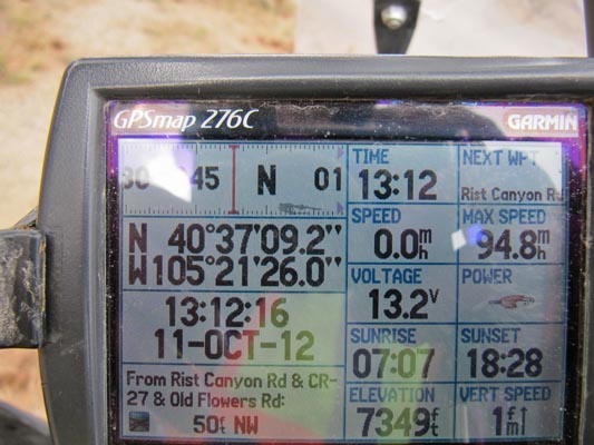
Stove Prairie Pass - Larimer County - Colorado - 7,349 feet
Intermittent stream to north, intermittent stream to south.
On Stove Prairie Road west of Fort Collins.
paved - road bike
photos by Karst Postma, 10/11/2012
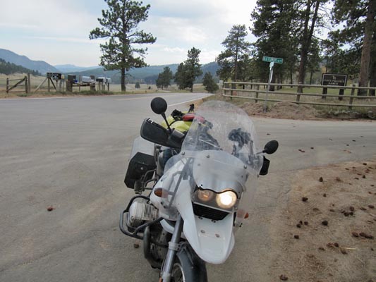
At the summit. |
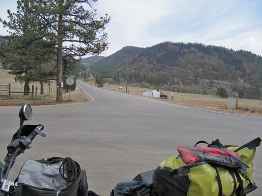
At the summit. |
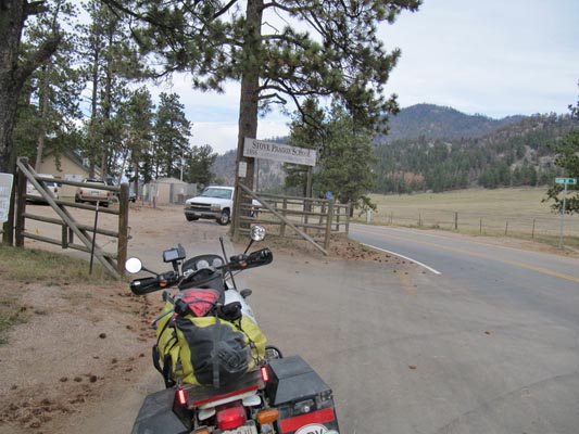
At the summit. |
At the summit. |
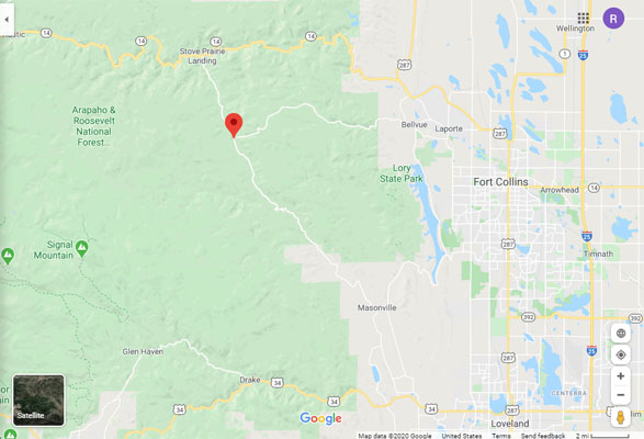
Google Maps |
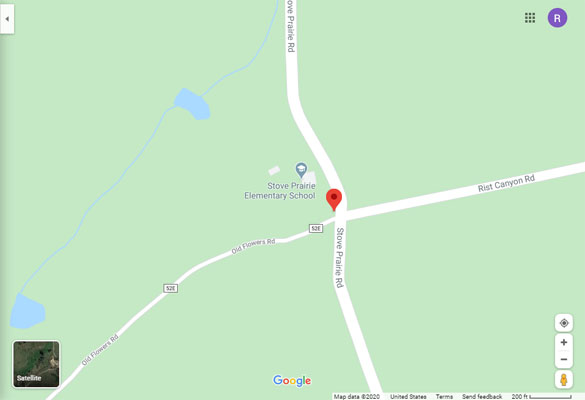
Google Maps |
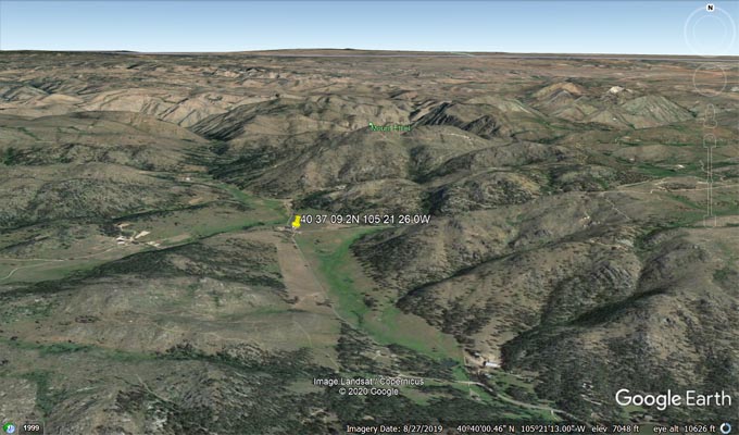
Google Earth, looking north. |
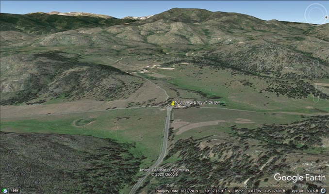
Google Earth, looking west. |
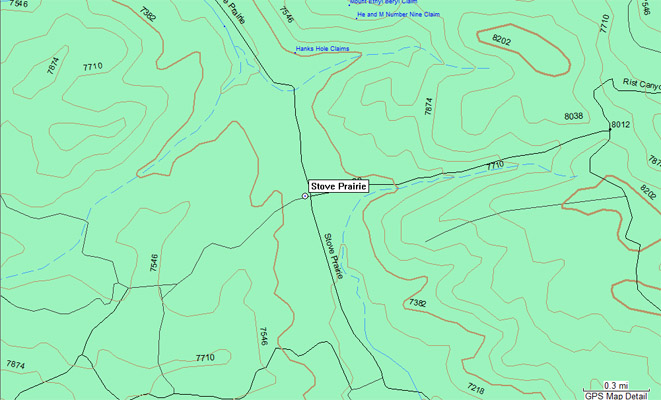
Garmin MapSource |
| Feature Name | ID | Class | County | State | Latitude | Longitude | Ele(ft) | Map | BGN Date | Entry Date |
| Stove Prairie Creek | 177356 | Stream | Larimer | CO | 403416N | 1051949W | 6430 | Buckhorn Mountain | - | 13-OCT-1978 |
| Stove Prairie Gulch | 171275 | Valley | Larimer | CO | 403941N | 1052049W | 6594 | Poudre Park | 13-OCT-1978 | 12-JAN-2018 |