
The Gate
|
The Gate |
The Gate - Saguache County - Colorado - 9,836 feet
Silver Creek flows east through The Gate.
South of Poncha Springs, 1/3 mile west of CR-47YY.
closed to motor vehicles
photos by Scott Westfall, 9/8/2018
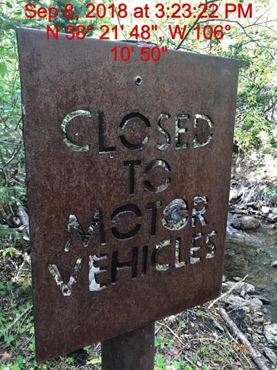
About 1/4 mile from gap. "Closed to Motor Vehicles" |
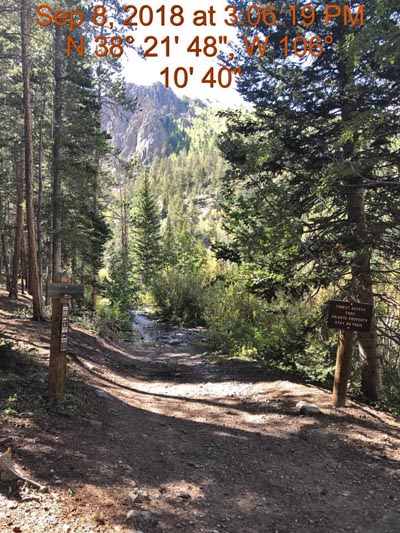
About 1/4 mile from gap. "Forest Access Through Private Property. Stay on Trail" |
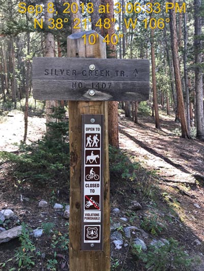
About 1/4 mile from gap. "Silver Creek Trail, No. 1407, Closed to Motorcycles" |
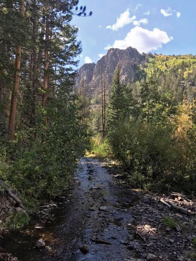
About 1/4 mile from gap. The gap is on the left side of the mountain. |
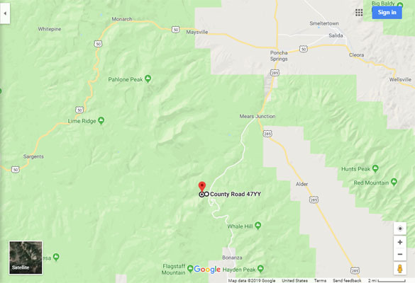
Google Maps |
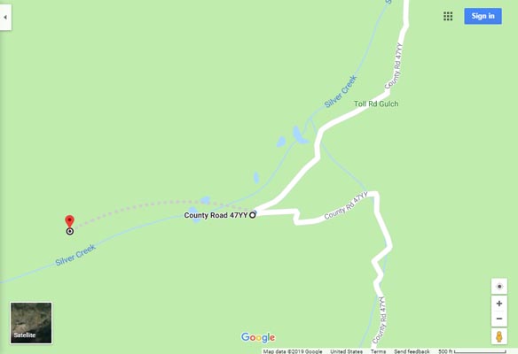
Google Maps |
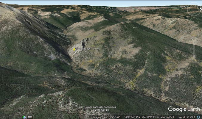
Google Earth, looking west. |
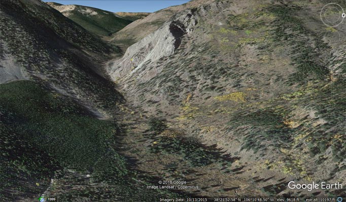
Google Earth, looking west. |
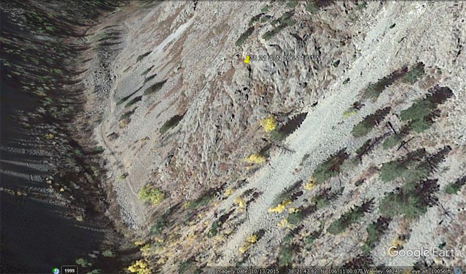
Google Earth, looking west. |
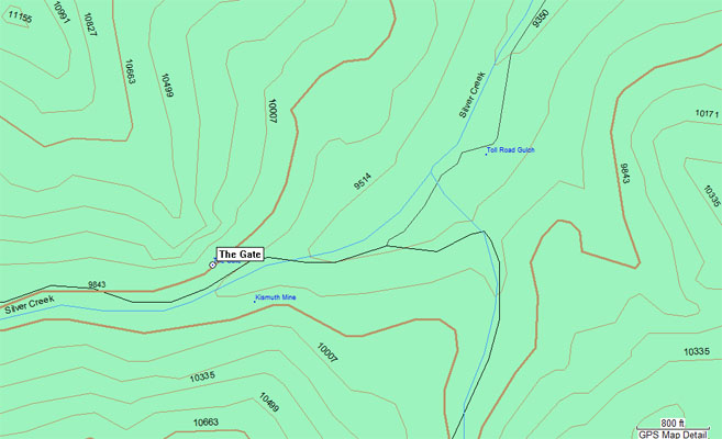
Garmin MapSource |
photos by Dave Vining, 6/29/2018
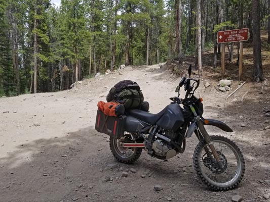
About 1/3 mile from gap. "Toll Road Gulch, Bonanza, 4 Wheel Drive" |
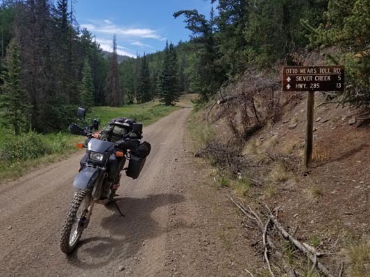
About 1/3 mile from gap. "Otto Mears Toll Rd., Silver Creek 5, Hwy. 285 13" |
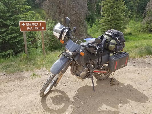
About 1/3 mile from gap. "Bonanza 3, Toll Road" |
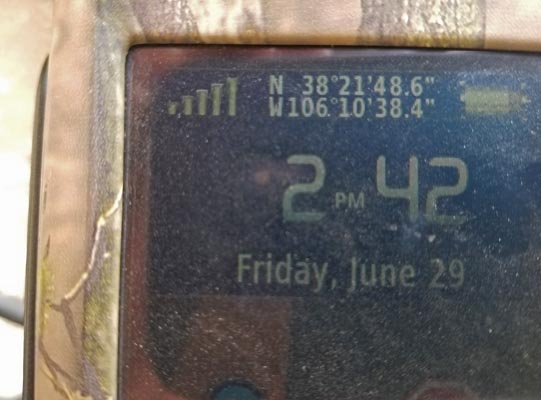
About 1/3 mile from gap. |
| Feature Name | ID | Class | County | State | Latitude | Longitude | Ele(ft) | Map | BGN Date | Entry Date |
| The Gate | 189975 | Gap | Saguache | CO | 382147N | 1061101W | 9836 | Bonanza | - | 13-OCT-1978 |
| Toll Road Gulch | 189884 | Valley | Saguache | CO | 382154N | 1061029W | 9465 | Bonanza | - | 13-OCT-1978 |