
Trouble Hill
|
Trouble Hill |
Trouble Hill - Hinsdale County - Colorado - 10,197 feet
Mason Creek flows through the gap.
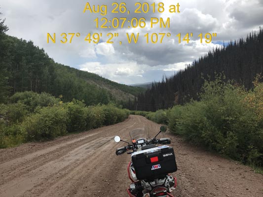
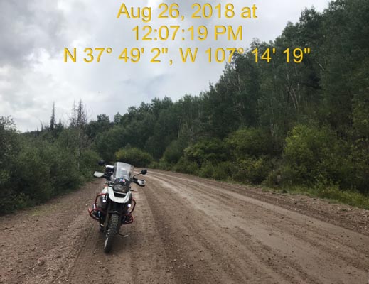
West of Creede on FR-516, about 5 miles west of CO-149 and via FR-10.
gravel - dual sport
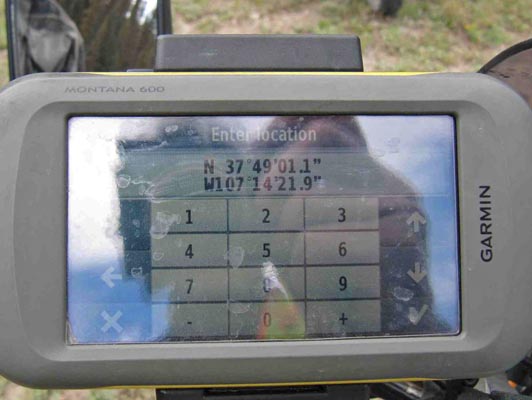
photos by Scott Westfall, 8/26/2018
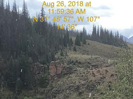
In the gap. |
In the gap. |
In the gap. |
In the gap. |
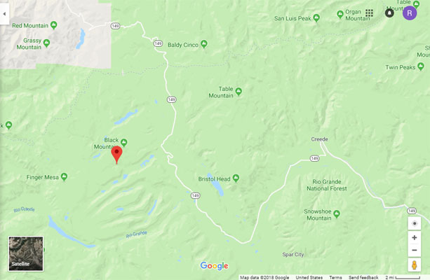
Google Maps |
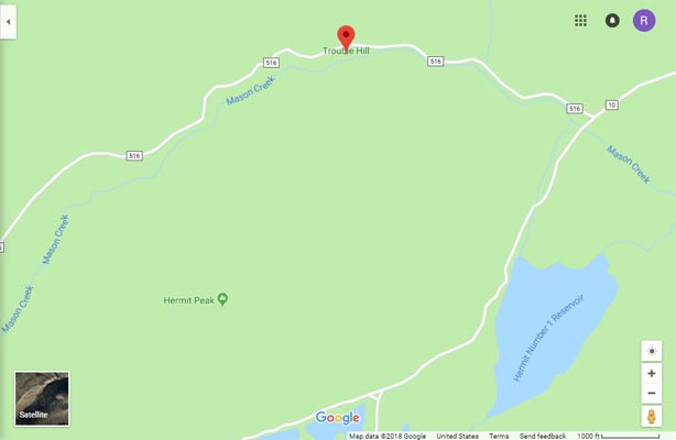
Google Maps |
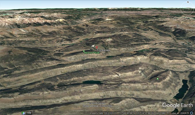
Google Earth |
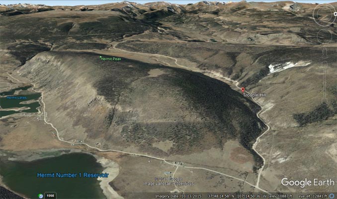
Google Earth |

Garmin Mapsource |
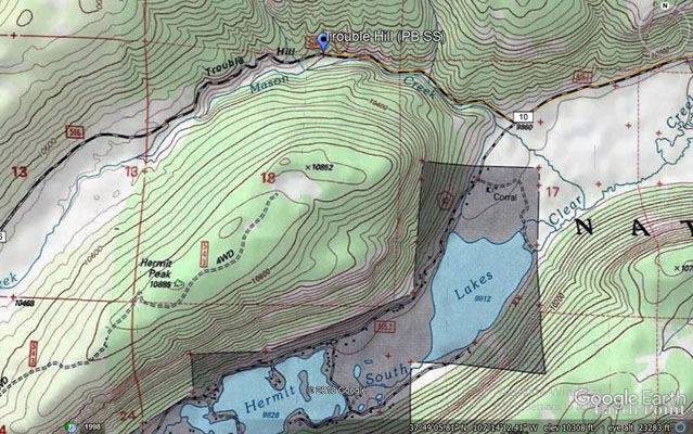
Topographic map |
photos by Karst Postma, 8/24/2013
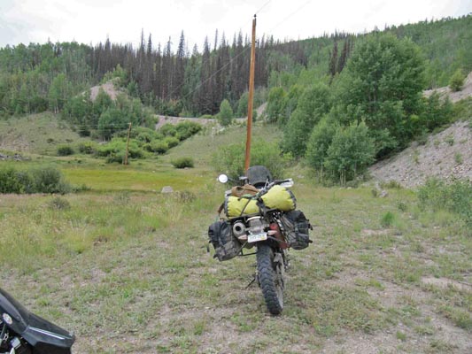
In the gap. |
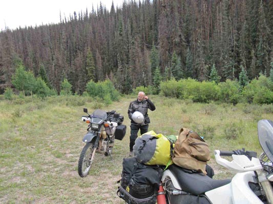
In the gap. |
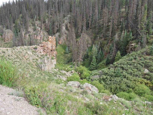
In the gap. |
In the gap. |
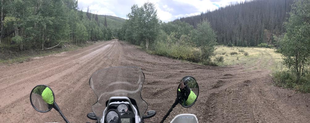
Notes from Karst: This is a bit of weird one. FR-516 is a hard packed road accessible to all bikes.
The location on the spreadsheet is on the old road which deviates from the new road for a short section
following Mason Creek. You can ride this old section partially. I see you have it in the gap section of
the spreadsheet and that is correct. The very small creek goes thru what I guess you could call a gap, a
very small gap. This is about as marginal as it gets to calling something a gap.
Two pictures are on the old road. The third one is looking down from the new road.
| Feature Name | ID | Class | County | State | Latitude | Longitude | Ele(ft) | Map | BGN Date | Entry Date |
| Trouble Hill | 186999 | Gap | Hinsdale | CO | 374902N | 1071412W | 10197 | Hermit Lakes | - | 13-OCT-1978 |