
Bandera Pass
|
Bandera Pass |
Bandera Pass - Bandera County - Texas - 1,745 feet
On TX-173 south of Kerrville.
paved - road bike
photos by Randy Bishop, 4/24/2019
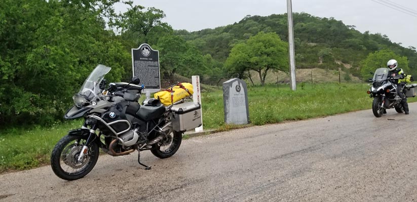
0.3 miles south of the summit. |
0.3 miles south of the summit. |
0.3 miles south of the summit. |
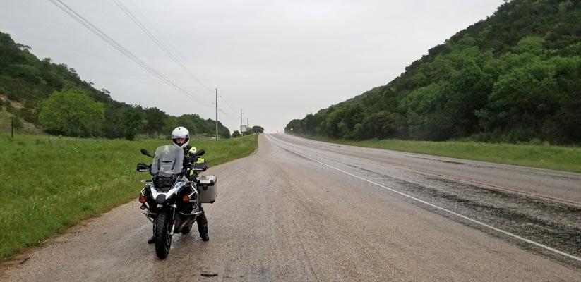
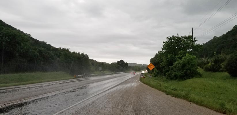
0.3 miles south of the summit, looking north. |
0.3 miles south of the summit, looking south. |
0.3 miles south of the summit. |
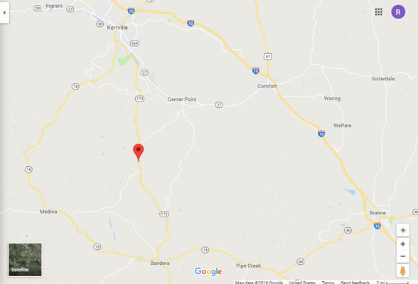
Google Maps |
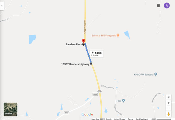
Google Maps |
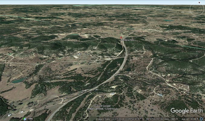
Google Earth |
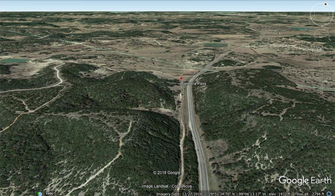
Google Earth |
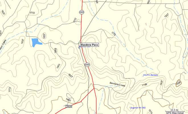
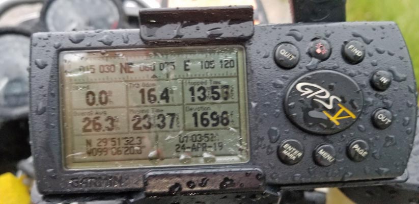
Garmin MapSource |
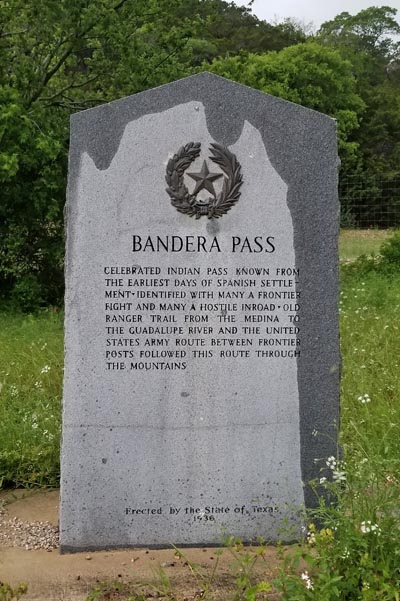
From the gray stone historical marker: Bandera Pass. Celebrated Indian pass known from the earliest
days of Spanish settlement. Identified with many a frontier fight and many a hostile inroad. Old
Ranger trail from the Medina to the Guadalupe River and the United States Army route between frontier
posts followed the route through the mountains. Erected by the State of Texas, 1936.
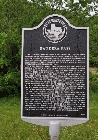
From the black/silver historical marker: Bandera Pass. The prominent feature known as Bandera Pass is
a notable landmark in the topography and history of the region. The pass is a narrow natural cut through
a chain of hills which run roughly east and west and divide the Guadalupe and Medina River valleys.
Archeological evidence indicates that the site is along an ancient path dating back throusands of years.
| Feature Name | ID | Class | County | State | Latitude | Longitude | Ele(ft) | Map | BGN Date | Entry Date |
| Bandera Pass | 1351477 | Gap | Bandera | TX | 295147N | 0990627W | 1745 | Bandera Pass | - | 30-NOV-1979 |