
Dead Man's Pass
|
Dead Man's Pass |
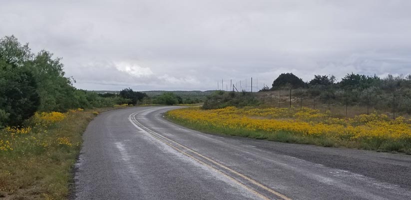
Dead Man's Pass - Val Verde County - Texas - 1,837 feet
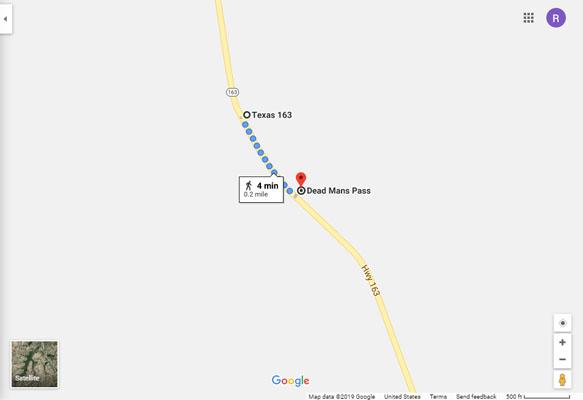
On TX-163 north of Comstock.
paved - road bike
photos by Randy Bishop, 4/24/2019
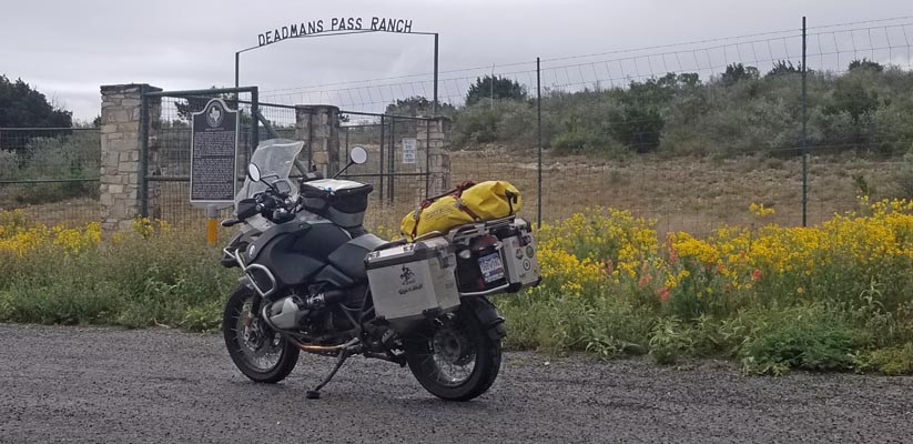
0.2 miles north of the summit. |
0.2 miles north of the summit. |
0.2 miles north of the summit. |
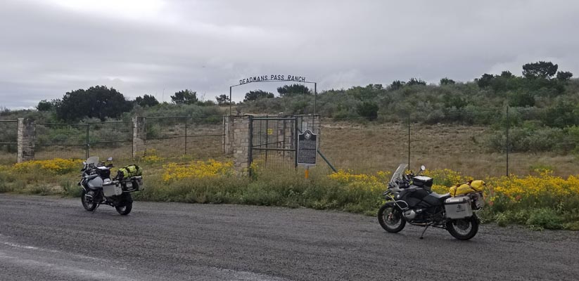
0.2 miles north of the summit, looking north. |
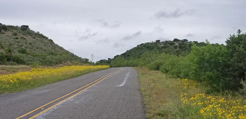
0.2 miles north of the summit, looking south. |
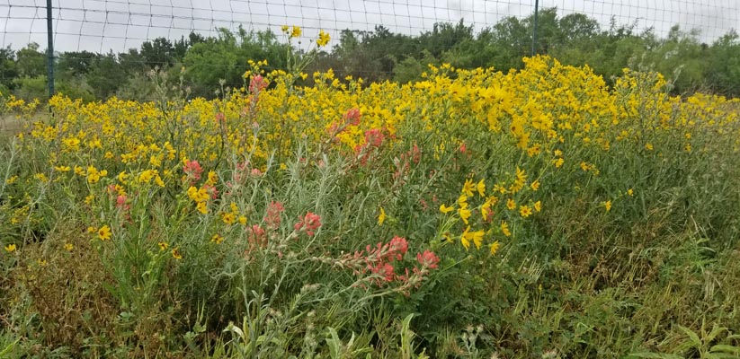
0.2 miles north of the summit. |
0.2 miles north of the summit. |
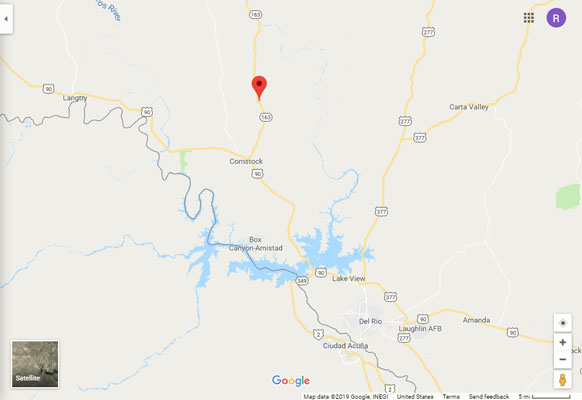
Google Maps |
Google Maps |
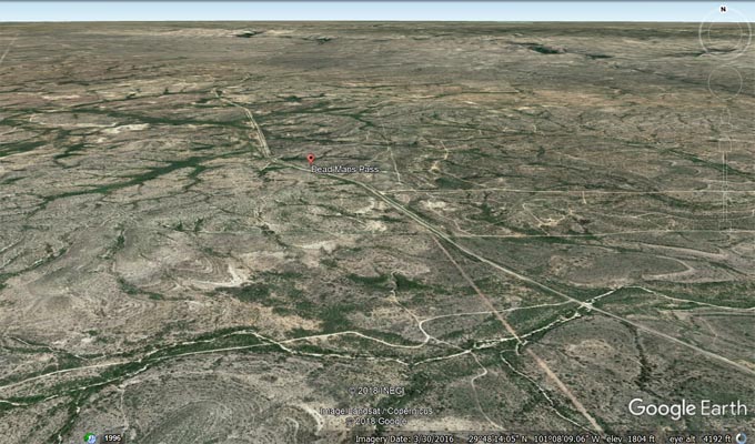
Google Earth |
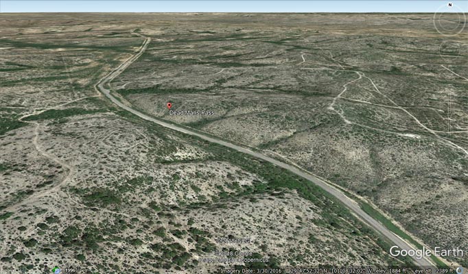
Google Earth |
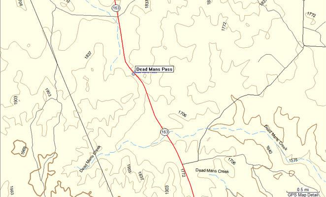
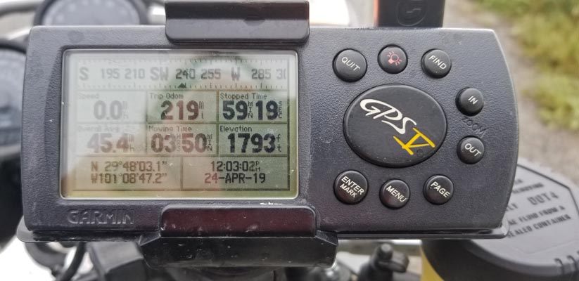
Garmin MapSource |
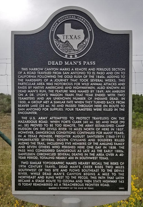
From the black/silver historical marker: Dead Man's Pass. Two similar topographic names nearby recall
the risks of 19th century travel. Dead Man's Creek rises two miles southwest of this site and flows
southeast to the Devil's River. While Dead Man's Canyon begins a mile to the northeast and runs west
to the Pecos. This path that later became a stage route to Ozona and then State Highway 163 is today
remembered as a treacherous frontier road.
| Feature Name | ID | Class | County | State | Latitude | Longitude | Ele(ft) | Map | BGN Date | Entry Date |
| Dead Mans Pass | 1355758 | Gap | Val Verde | TX | 294756N | 1010840W | 1837 | Dead Mans Pass | - | 30-NOV-1979 |