
Guadalupe Pass
|
Guadalupe Pass |
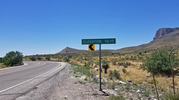
Guadalupe Pass - Culberson County - Texas - 5,413 feet
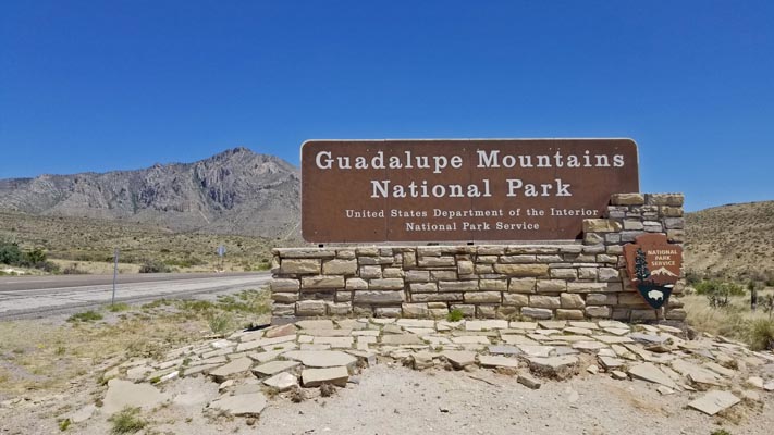
On US-62 / US-180 south of the Guadalupe Mountains National Park, Pine Springs visitor center.
paved - road bike
photos by Randy Bishop, 5/8/2022
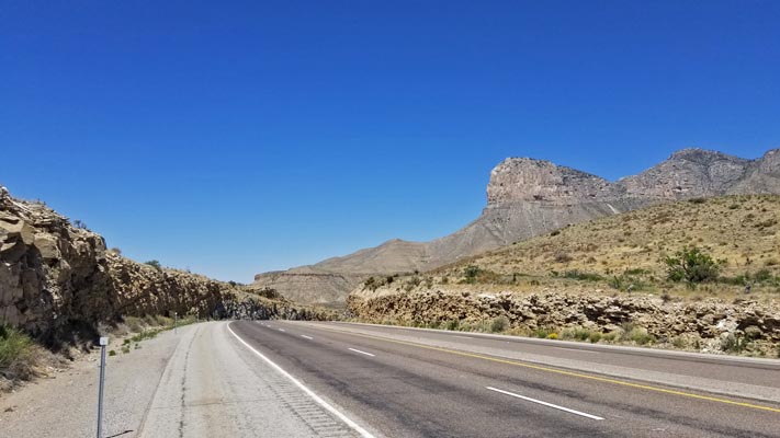
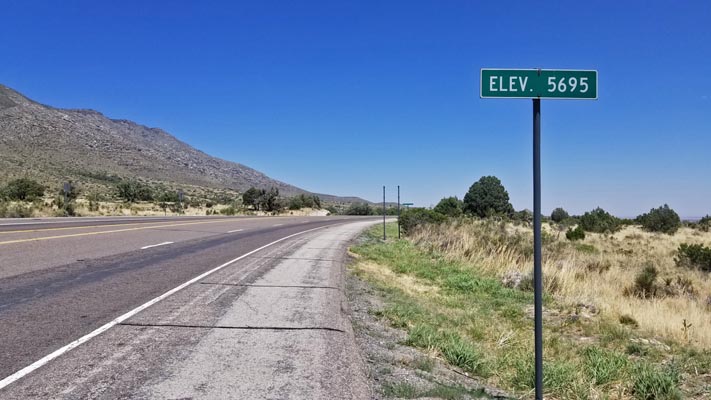
0.1 miles west of GNIS location, looking west. |
0.1 miles west of GNIS location, looking east. |
0.1 miles west of GNIS location. |
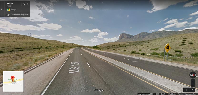
Google Maps. At the summit, looking west. |
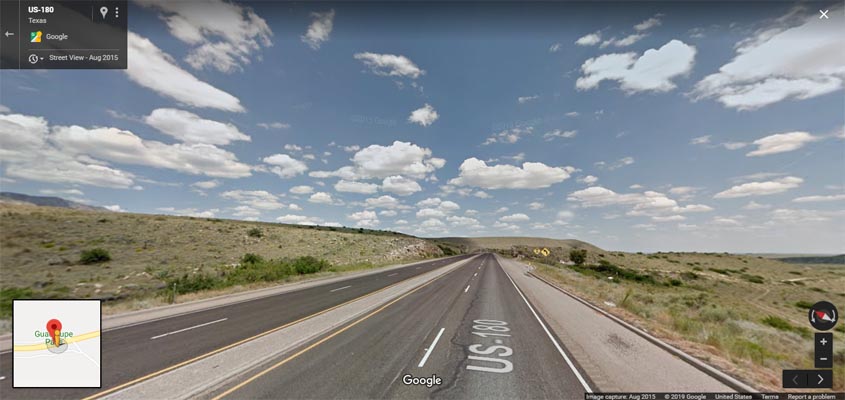
Google Maps. At the summit, looking east. |
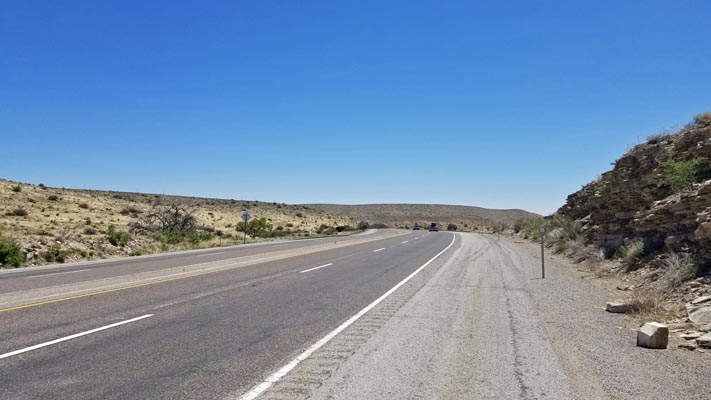
1.7 miles north of GNIS location, looking north. |
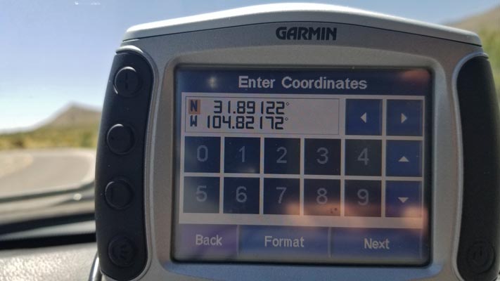
1.7 miles north of GNIS location. |
2.5 miles north of GNIS location, looking west. |
2.5 miles north of GNIS location, looking east. |
2.5 miles north of GNIS location. |
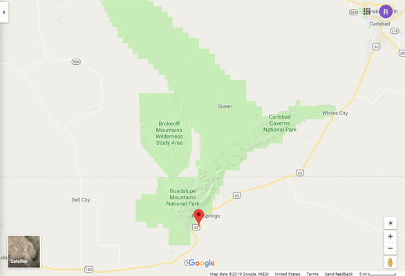
Google Maps |
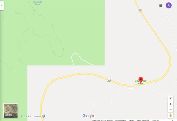
Google Maps |
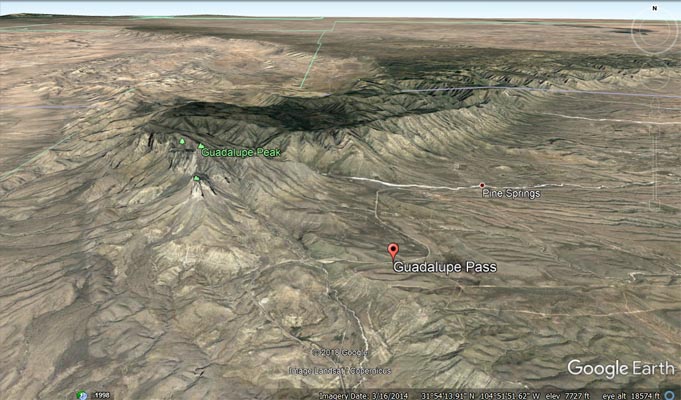
Google Earth |
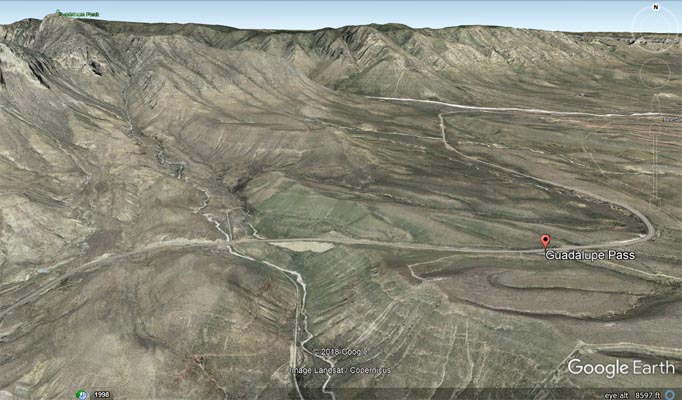
Google Earth |
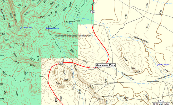
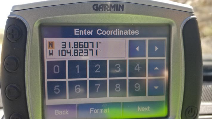
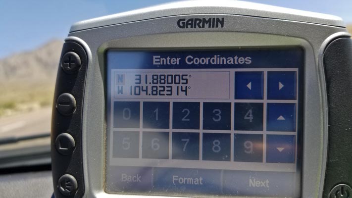
Garmin MapSource |
| Feature Name | ID | Class | County | State | Latitude | Longitude | Ele(ft) | Map | BGN Date | Entry Date |
| Guadalupe Pass | 1358488 | Gap | Culberson | TX | 315139N | 1044918W | 5413 | Guadalupe Pass | - | 30-NOV-1979 |