
Wild Rose Pass
|
Wild Rose Pass |
Wild Rose Pass - Jeff Davis County - Texas - 4,554 feet
On TX-17 north of Fort Davis.
paved - road bike
photos by Randy Bishop, 4/25/2019
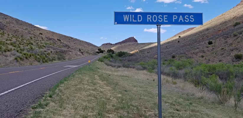
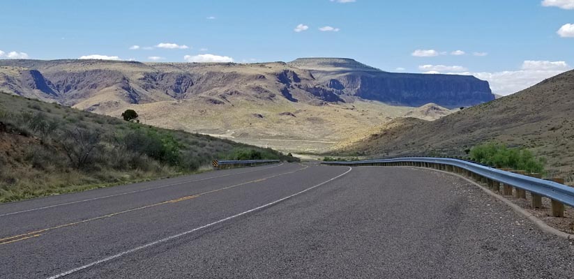
0.4 miles south of the summit. |
0.4 miles south of the summit. |
0.4 miles south of the summit. |
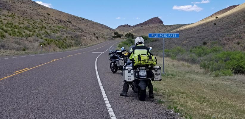
At the summit. |
At the summit. |
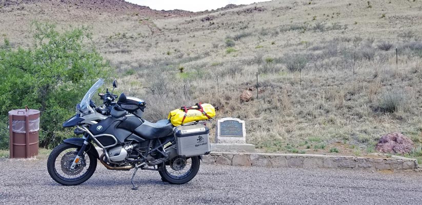
At the summit, looking north. |
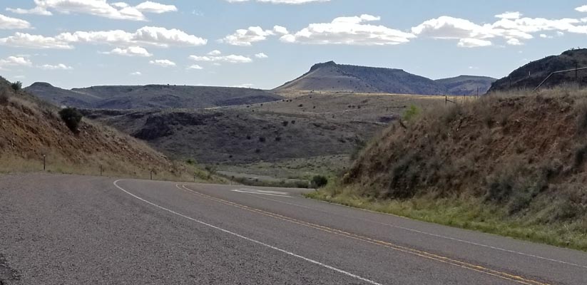
At the summit, looking south. |
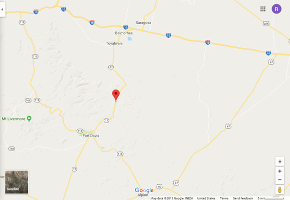
Google Maps |
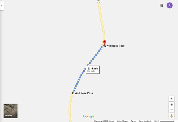
Google Maps |
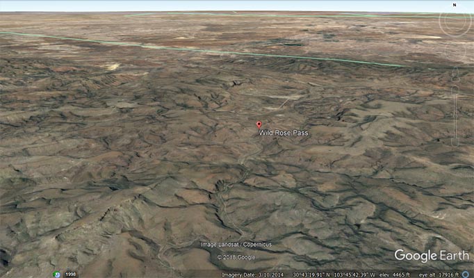
Google Earth |
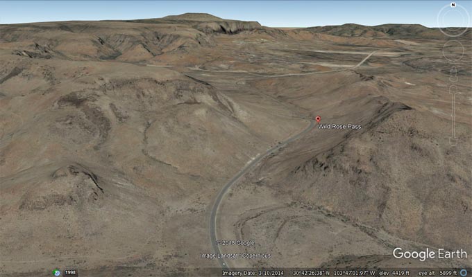
Google Earth |
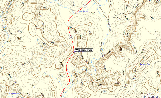
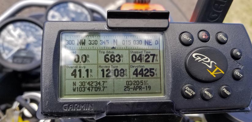
Garmin MapSource |
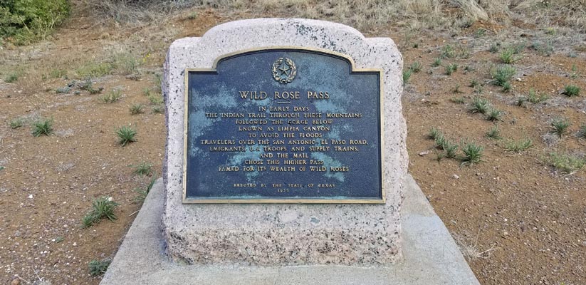
From the gray stone historical marker: Wild Rose Pass. In early days the Indian trail through these
mountains followed the gorge below known as Limpia Canyon. To avoid the floods travelers over the
San Antonio - El Paso Road, emigrants, U.S. troops and supply trains, and the mail chose this higher
pass famed for it wealth of wild roses. Erected by the State of Texas 1936.
| Feature Name | ID | Class | County | State | Latitude | Longitude | Ele(ft) | Map | BGN Date | Entry Date |
| Wild Rose Pass | 1371508 | Gap | Jeff Davis | TX | 304252N | 1034657W | 4554 | Swayback Mountain | - | 30-NOV-1979 |