
Unnamed Gap
|
Unnamed Gap |
An unamed gap in the hogback - Huerfano County - Colorado - 8,168 feet
Cucharas River flows through the gap.
On CO-12 between La Veta and Cuchara.
paved - road bike
photos by Karst Postma, 9/29/2012
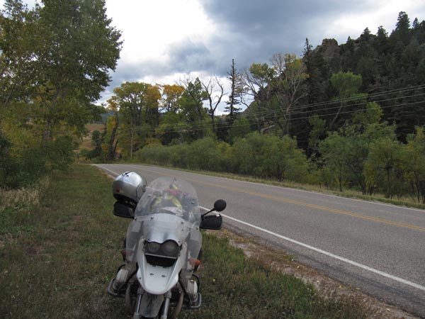
At the gap, looking east. |
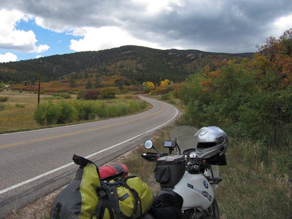
At the gap, looking west. |
At the gap. |
At the gap. |
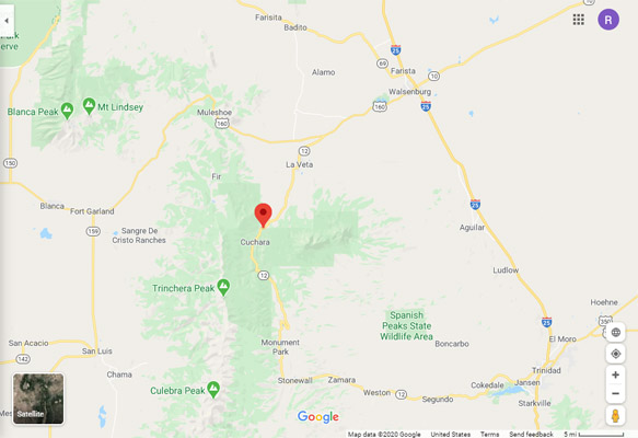
Google Maps |
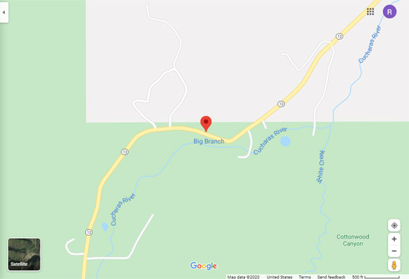
Google Maps |
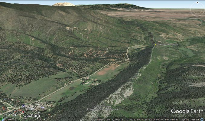
Google Earth, looking north. |
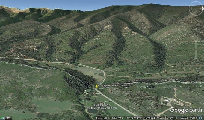
Google Earth, looking west. |
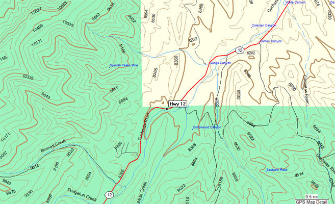
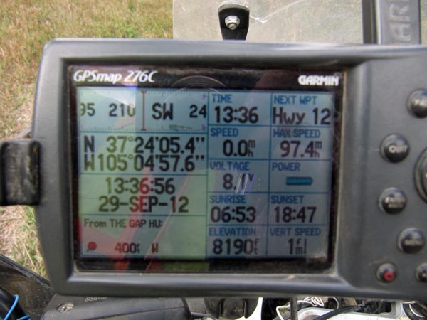
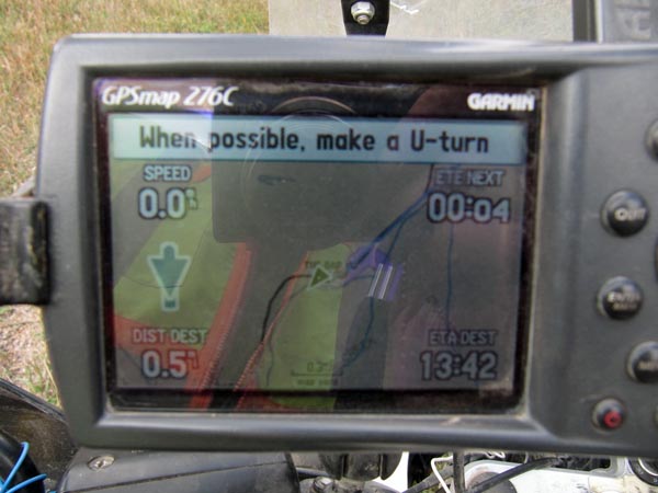
Garmin Mapsource |
The road curves through a gap in a hogback that appears to be a continuation of the one at Stonewall Gap.
A historical sign at Stonewall includes: "The rock face that looms over Stonewall formed 35 million years
ago, as magma from below the surface bubbled upward into underground crevices. Such formations are generally
known as "dikes", but the one you see here is a "sill": it began as a horizontal slab, then got pushed upright
by volcanic upheavals."