
Disautel Pass
|
Disautel Pass |
Disautel Pass - Okanogan County - Washington - 3,252 feet
Omak Creek to north. Coyote Creek to south.
On WA-155, between Omak and Hespelem.
paved - road bike
photos by Scott Westfall, 7/31/2021
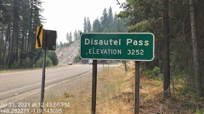
At the summit. |
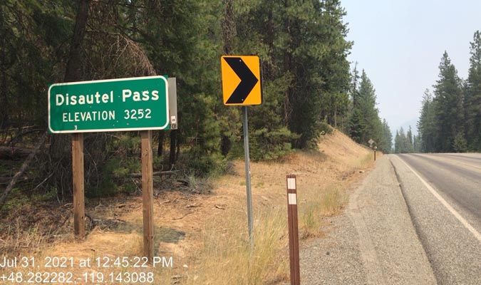
At the summit |
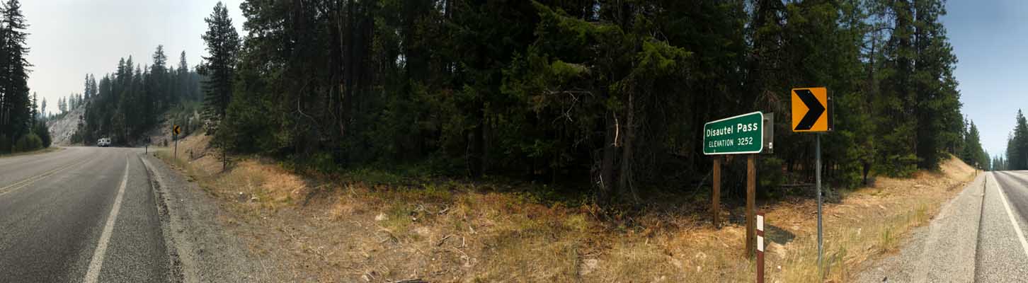
At the summit. |
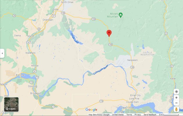
Google Maps |
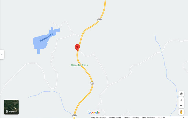
Google Maps |
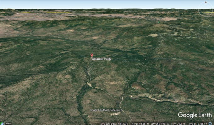
Google Earth |

Google Earth |
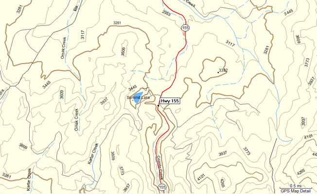
Garmin Mapsource |
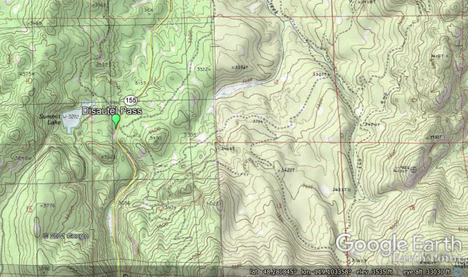
Google Earth |
Notes from Scott: Rever and I disagree on where this location should be. Their coordinates mark the settlement
of Disautel at 48 21 38N (48.36057) 119 14 14W (-119.23724), which is a relatively featureless area
of land descending slightly westward towards the Okanogan River. My coordinates are 48 16 55N (48.281850°)
119 08 37W (-119.143558°) which mark the topographical divide between Omak Creek to the north and Coyote
Creek to the south. It is also where the WADOT sign is posted. There is no GNIS reference for a Disautel Pass.
| Feature Name | ID | Class | County | State | Latitude | Longitude | Ele(ft) | Map | BGN Date | Entry Date |
| Disautel | 1518796 | Populated Place | Okanogan | WA | 482138N | 1191414W | 2487 | Disautel | 10-SEP-1979 | 29-JAN-2011 |
| Disautel Census Designated Place | 2584967 | Census | Okanogan | WA | 482042N | 1191348W | 2464 | Disautel | 31-MAR-2010 | 19-MAR-2019 |