
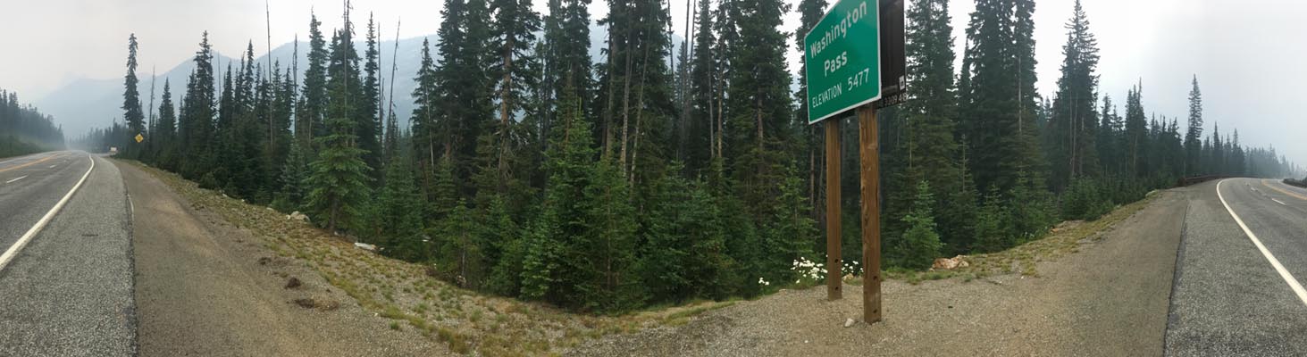
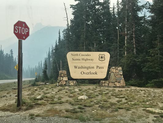
Washington Pass
|
Washington Pass |
Washington Pass - Chelan County - Washington - 5,477 feet
On WA-20, about 102 miles east of Burlington, WA.
pavement - road bike
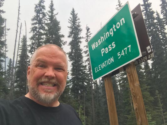
At the summit. |
At the summit. |
At the summit. |
At the summit. |
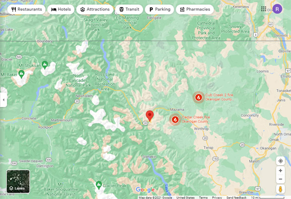
Google Maps |
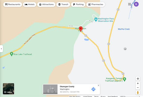
Google Maps |
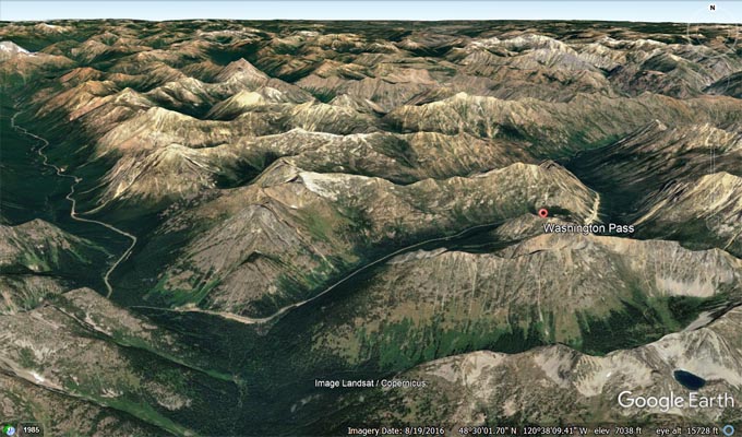
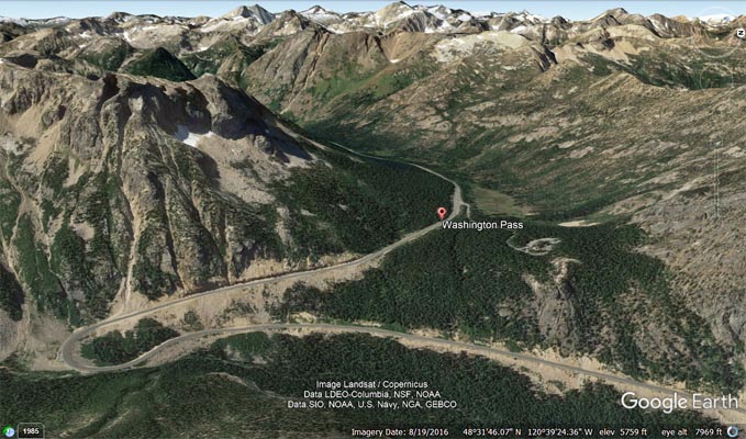
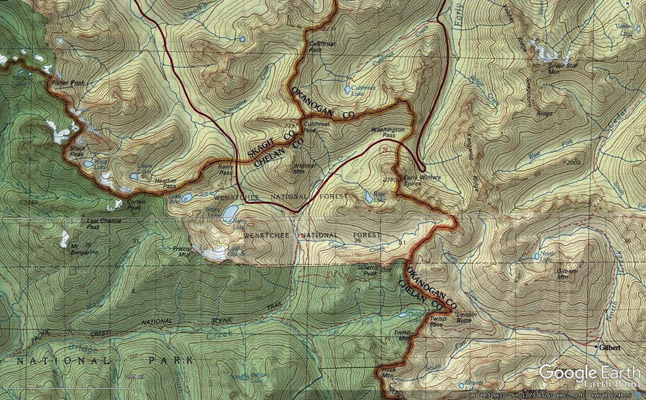
Google Earth |
Google Earth, looking west. |
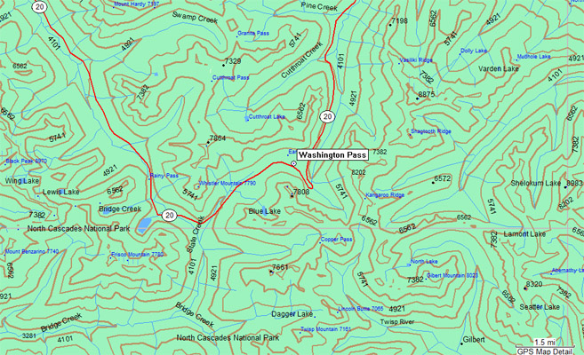
Garmin MapSource |
Topographic Map |
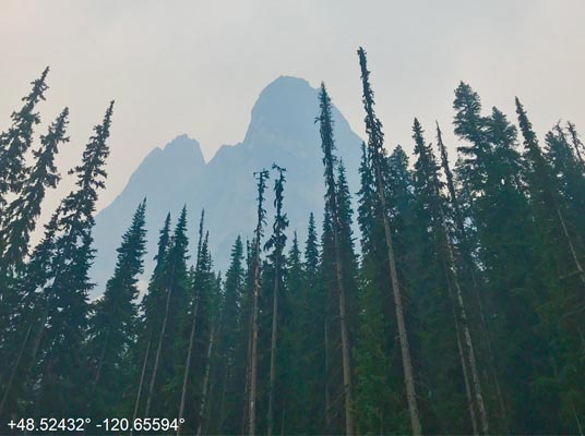
Notes from Scott: Rainy (4875') and Washington (5476') Passes are about 3.5 miles from each other (as the crow flies, 5 miles by road).
They are in the middle of North Cascades National Park on WA-20, which was closed just to the east of the passes due to the active Cedar
Creek and Cub Creek wildfires. I can only imagine the scenery from these spots, as the clouds and smoke haze made the visit visually
unremarkable except for a few peaks that appeared.
| Feature Name | ID | Class | County | State | Latitude | Longitude | Ele(ft) | Map | BGN Date | Entry Date |
| Washington Pass | 1527830 | Gap | Chelan | WA | 483126N | 1203915W | 5453 | Washington Pass | - | 10-SEP-1979 |