
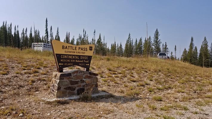
Battle Pass
|
Battle Pass |
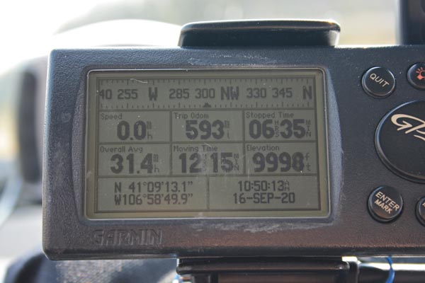
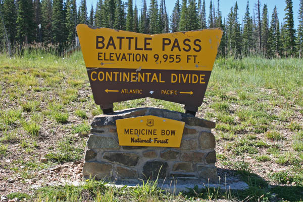
Battle Pass - Carbon County - Wyoming - 9,915 feet - On the Continental Divide
Battle Creek to west. Nellie Creek to east.
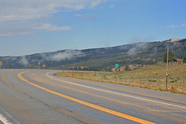
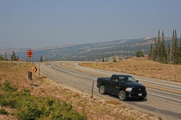
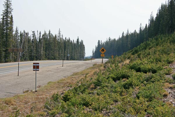
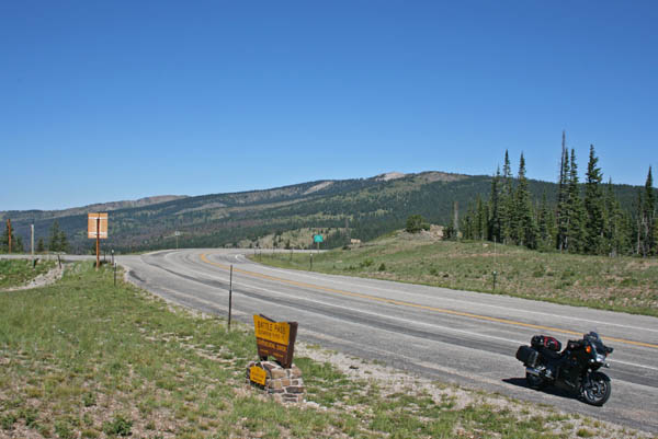
WY-70 west of Encampment, Wyoming
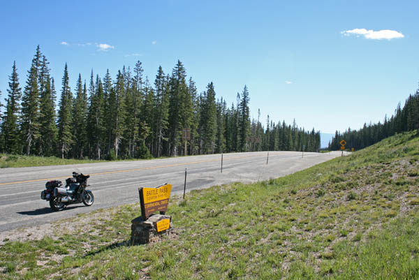
pavement - road bike
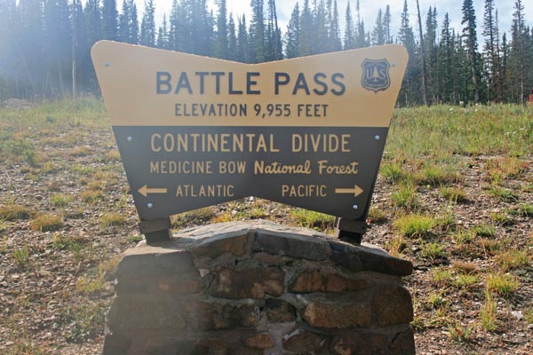
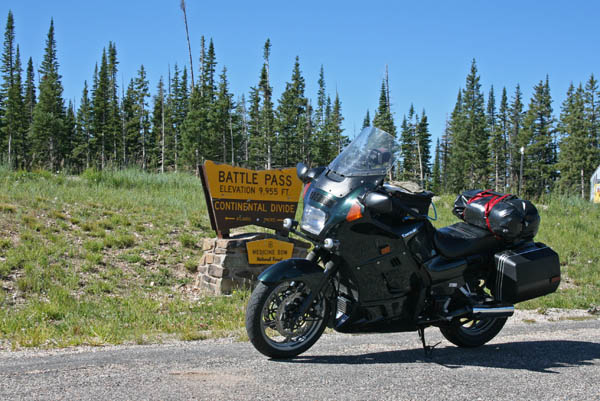
At the summit. |
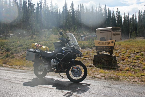
At the summit. |
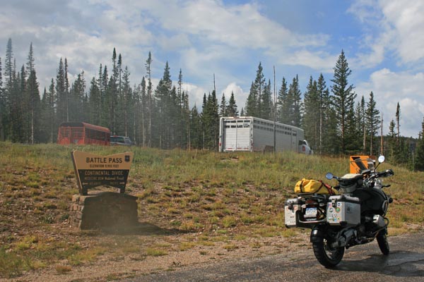
At the summit. |
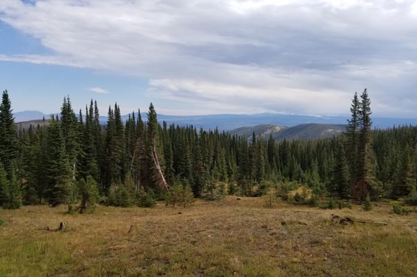
At the summit, looking west. |

At the summit, looking east. |
At the summit. |
At the nearby Continental Divide overlook. |
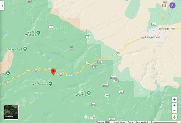
Google Maps |
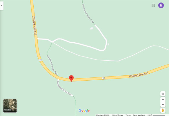
Google Maps |
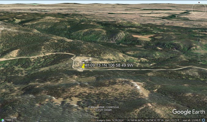
Google Earth |
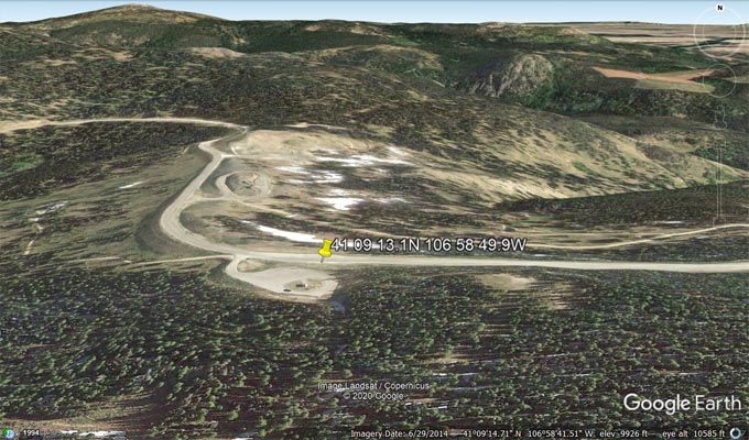
Google Earth |
Garmin MapSource |
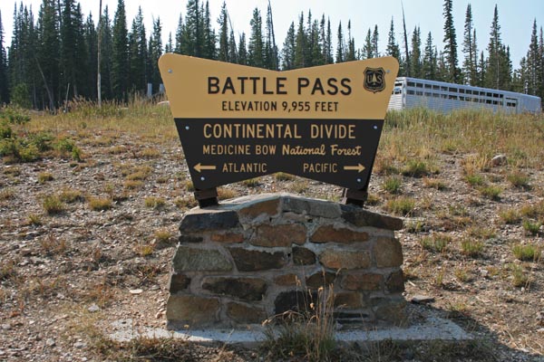
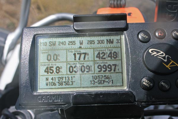
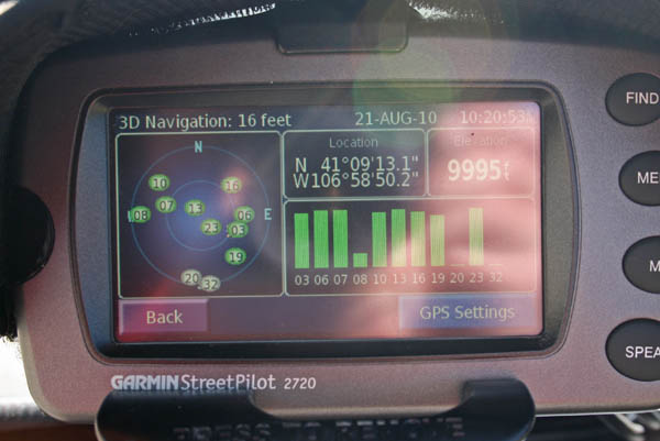
At the summit. |
At the summit. |
At the summit, looking west. |
At the summit, looking east. |
At the summit. |
At the summit. |
At the summit. |
At the summit, looking west. |
At the summit, looking east. |
At the summit. |
| Feature Name | ID | Class | County | State | Latitude | Longitude | Ele(ft) | Map | BGN Date | Entry Date |
| Battle Pass | 2634050 | Gap | Carbon | WY | 410920N | 1065857W | 9911 | Red Mountain | - | 23-JUL-2010 |
| Feature Name | ID | Class | County | State | Latitude | Longitude | Ele(ft) | Map | BGN Date | Entry Date |
| Battle (historical) | 1597963 | Populated Place | Carbon | WY | 410921N | 1065856W | 9924 | Red Mountain | - | 05-JUN-1979 |
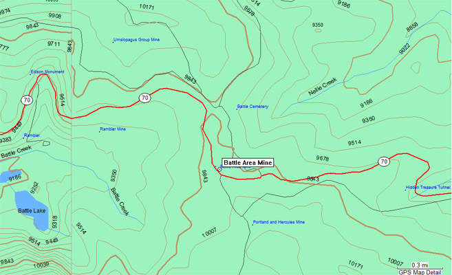
| Battle Area Mine | 1726121 | Mine | Carbon | WY | 410920N | 1065854W | 9721 | Red Mountain | - | 10-MAR-1997 |
| Battle Cemetery | 1597964 | Cemetery | Carbon | WY | 410941N | 1065846W | 9708 | Red Mountain | - | 05-JUN-1979 |