
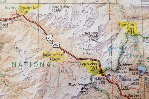
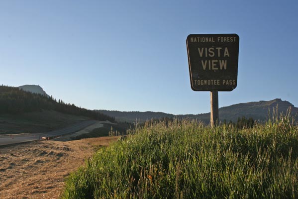
Togwotee Pass
|
Togwotee Pass |
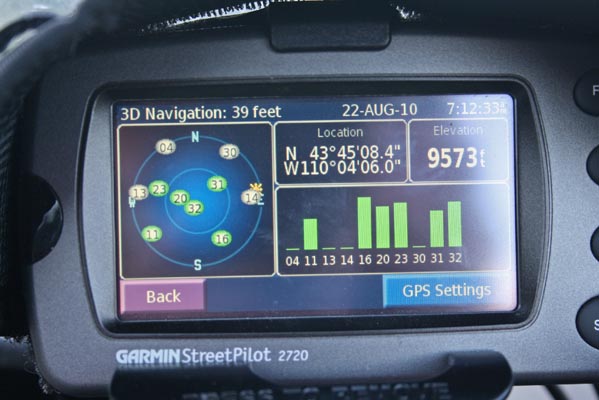
Togwotee Pass - Teton/Hot Springs County - Wyoming - 9,658 feet - On the Continental Divide
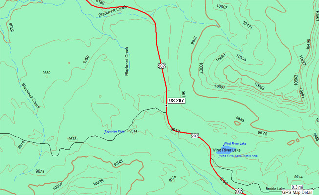
Blackrook Creek to north. Wind River Creek to south.
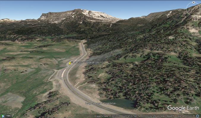
On US-287/US-26 between Moran and Dubois, Wyoming.
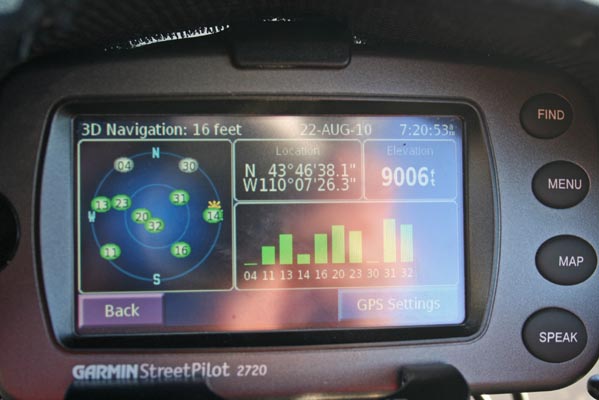
The crossing of the Continental Divide is about 450 feet east of Togwotee Pass
as listed in the USGS GNIS database.
pavement - road bike
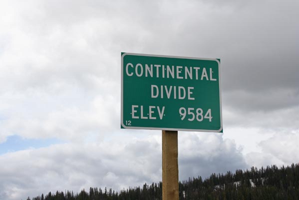
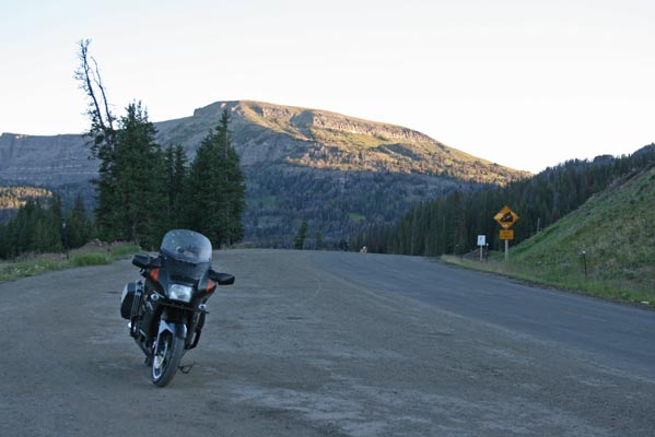
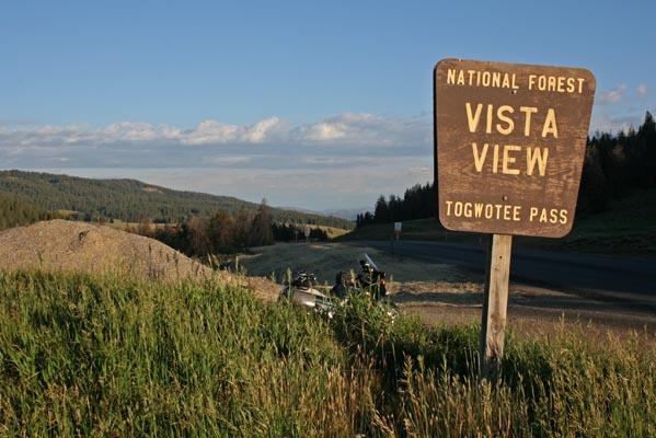
At the summit. |
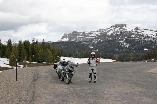
At the summit, looking north. |

At the summit, looking south. |
At the summit. |

Google Maps |
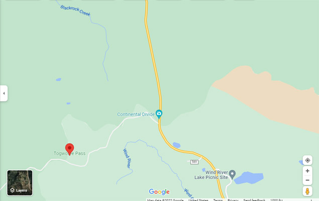
Google Maps |
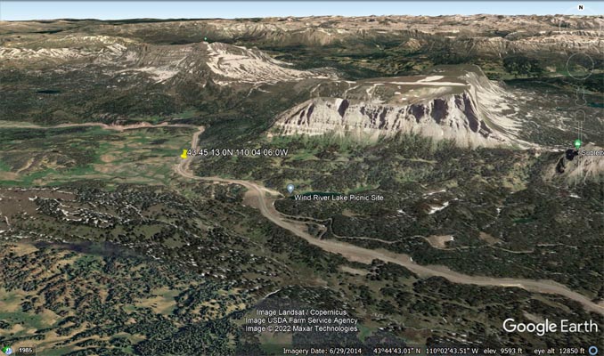
Google Earth |
Google Earth |
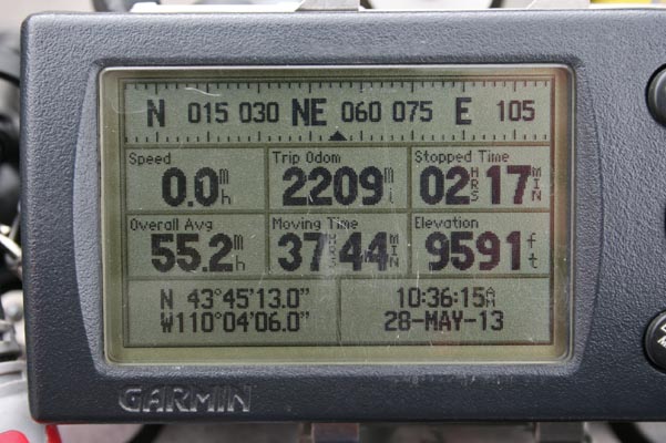
Garmin MapSource |
Road & Recreation Atlas |
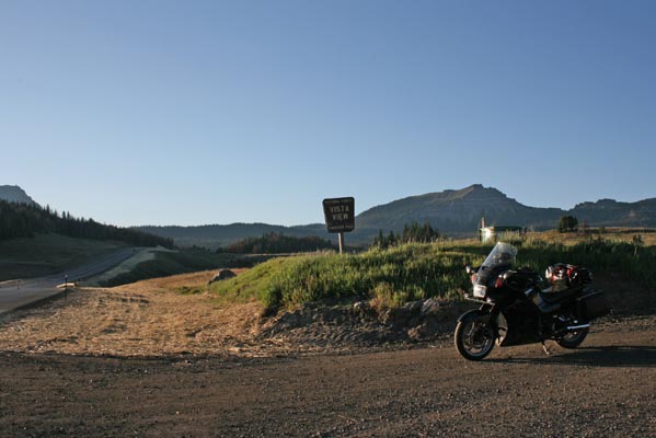
At the summit, looking north. |
At the summit, looking south. |
At the summit. |
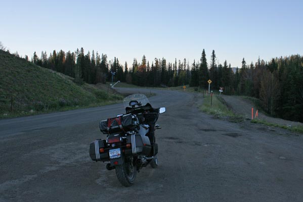
About 4 miles NW of summit. |
Looking north. |
Looking south. |
About 4 miles NW of summit. |
| Feature Name | ID | Class | County | State | Latitude | Longitude | Ele(ft) | Map | BGN Date | Entry Date |
| Togwotee Pass | 1603689 | Gap | Teton | WY | 434500 | 1100448 | 9655 | Togwotee Pass | - | 05-JUN-1979 |
| Togwotee Lodge | 1603689 | Locale | Teton | WY | 434909 | 1101155 | 8586 | Angle Mountain | - | 05-JUN-1979 |