
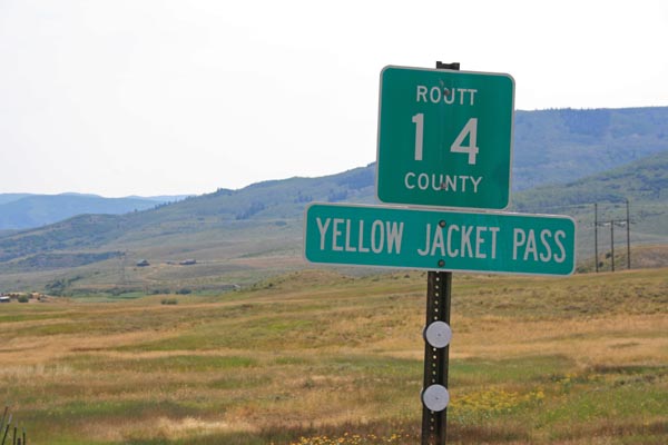
Yellow Jacket Pass
|
Yellow Jacket Pass |
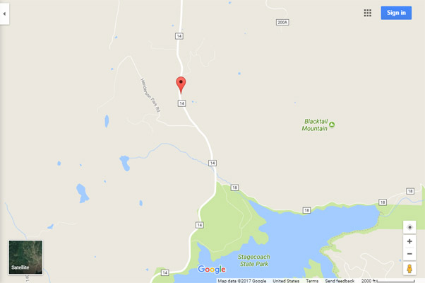
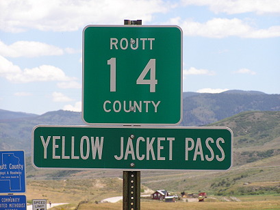
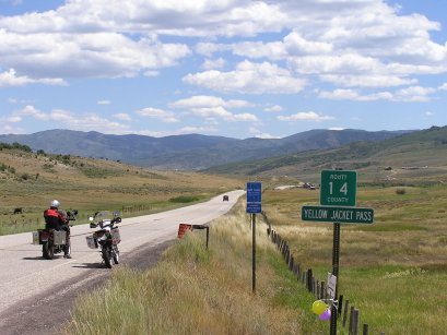
Yellow Jacket Pass - Routt County - Colorado - 7,428 feet
Dry creek to north. Yampa River to south.
CR-14 southwest of Steamboat Springs near Stagecoach Lake.
paved - road bike
photos by Randy Bishop, 8/5/2017
At the summit, looking south. |
At the summit, looking south. |
At the summit, looking north. |
At the summit. |
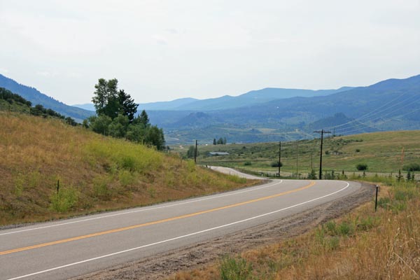
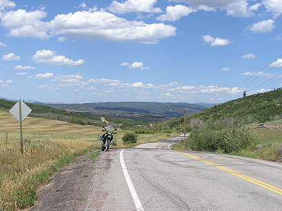
About 12 miles southwest of the summit. |
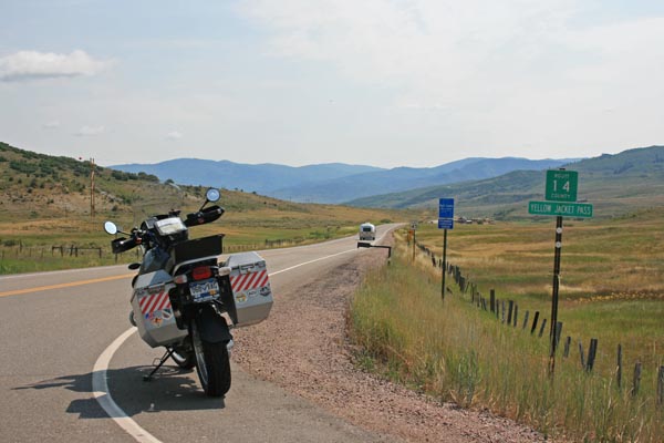
About 12 miles southwest of the summit, looking east. |
About 12 miles southwest of the summit. |
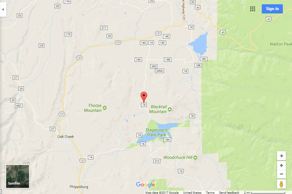
Google Maps |
Google Maps |
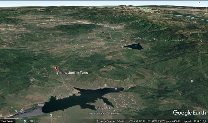
Google Earth |
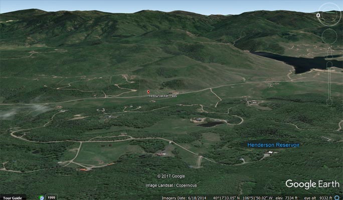
Google Earth, loooking east. |
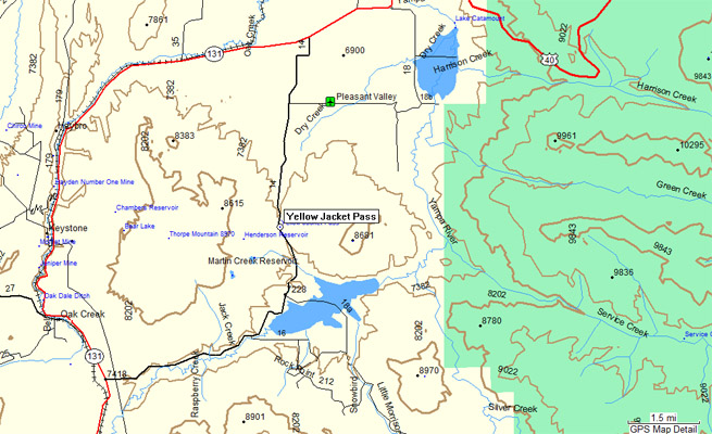
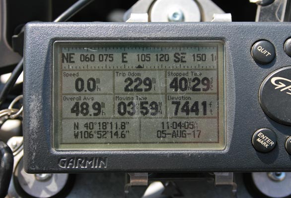
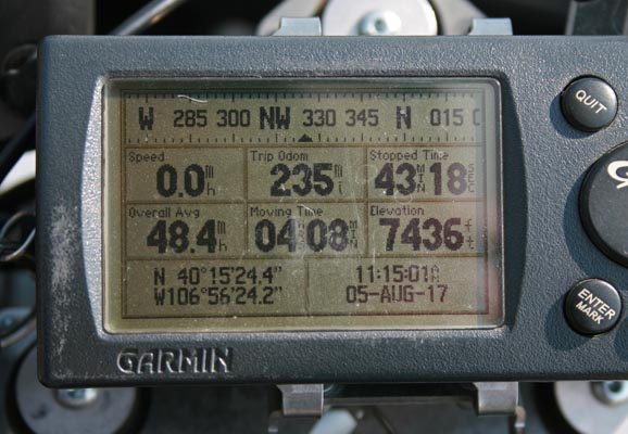
Garmin Mapsource |
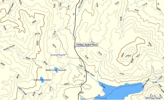
Garmin Mapsource |
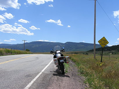
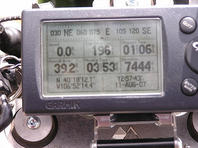
#104 - photos by Randy Bishop, 8/11/2007
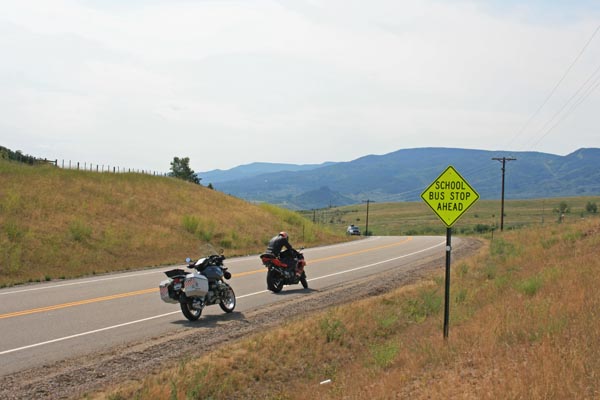
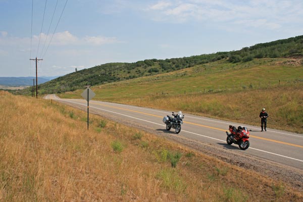
About 12 miles southwest of the summit. |
About 12 miles southwest of the summit. |
At the summit, looking north. |
At the summit, looking south. |
At the summit. |
| Feature Name | ID | Class | County | State | Latitude | Longitude | Ele(ft) | Map | BGN Date | Entry Date |
| Yellow Jacket Pass | 172949 | Gap | Routt | CO | 401811N | 1065213W | 7434 | Blacktail Mountain | - | 13-OCT-1978 |