
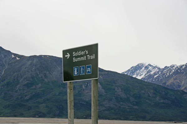
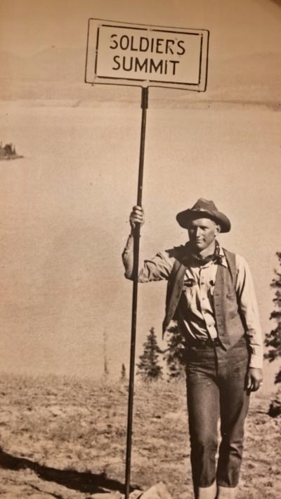
Soldiers Summit
|
Soldiers Summit |
Soldiers Summit - Yukon Territory, Canada - 796 m (2,611 ft)
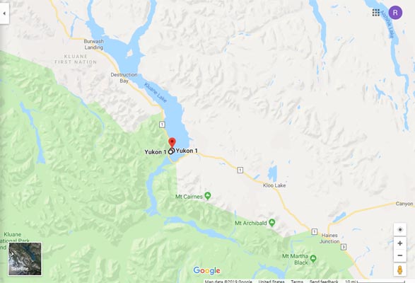
On YT-1 (Alaska Highway) by Kluane Lake between Haines Junction and Destruction Bay, Yukon Territory.
Kluane Lake is about 50 miles long.
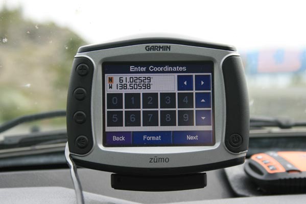
Alaska Highway summit (current alignment of highway): 61 01 46.4N 138 29 54.8W
Soldiers Summit Trail summit (1942 alignment): 61 01 45.3N 138 30 06.9W
Soldiers Summit Trailhead and parking: 61 01 31.0N 138 30 21.5W
paved - road bike
photos by Randy Bishop, 6/20/2018
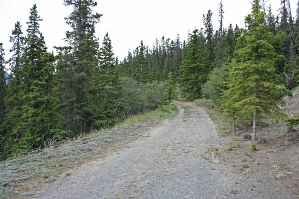
About 0.4 miles south of summit. |
At the trailhead. |
At the trailhead. |
At the trailhead. |
Just past the "look out for bears" sign, looking up the trail. |
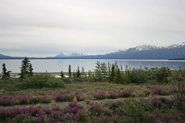
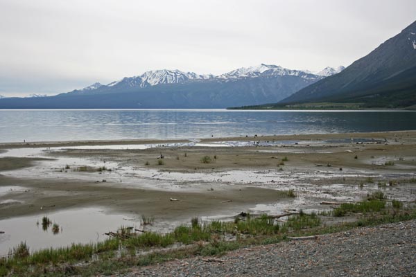
Looking east to Kluane Lake. |
At the trailhead. |
About 0.6 miles north of summit, looking east. |
About 0.6 miles north of summit, looking southeast. |
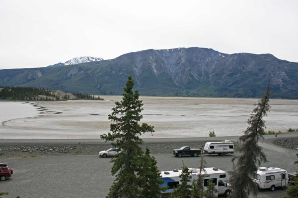
About 3.8 miles southeast of summit, looking north on Kluane Lake. |
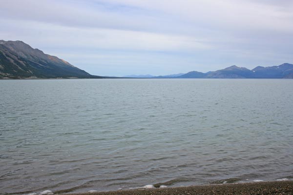
On the trail (then the road), looking east to Kluane Lake. |
Google Maps |
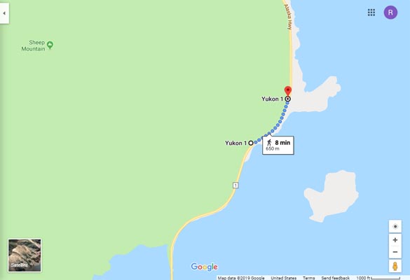
Google Maps |
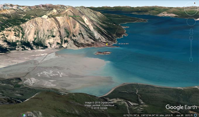
Google Earth |
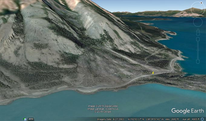
Google Earth |
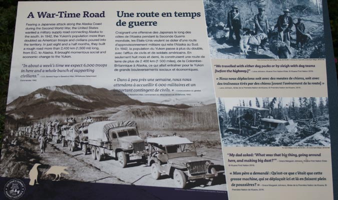
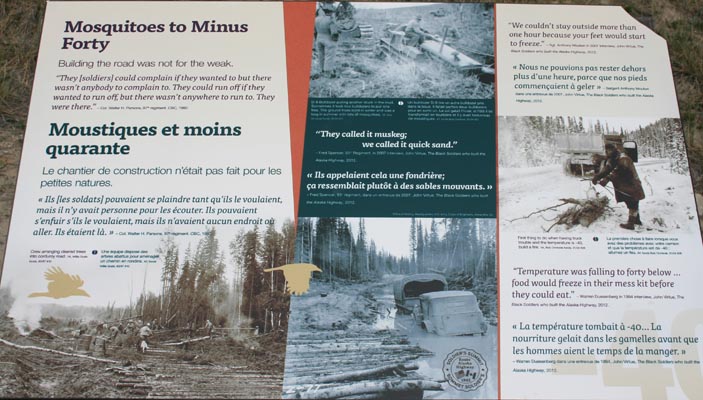
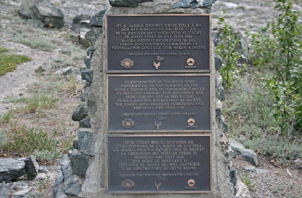
From The Milepost:
Alaska’s Highest Highway Passes
Atigun Pass, elev. 4,800 feet, at Milepost J 244.7 Dalton Highway
Maclaren Summit, elev. 4,086 feet, at Milepost P 36.7 Denali Highway
Eagle Summit, elev. 3,685 feet, at Milepost F 107.3 Steese Highway
Eureka Summit, elev. 3,322 feet, at Milepost A 129.5 Glenn Highway
White Pass, elev. 3,292 feet, at Milepost S 14.3 South Klondike Highway
Isabel Pass, elev. 3,280 feet, at Milepost V 197.7 Richardson Highway
Twelvemile Summit, elev. 3,190 feet, at Milepost F 85.5 Steese Highway
Tahneta Pass, elev. 3,000 feet, at Milepost A 122 Glenn Highway
Thompson Pass, elev. 2,678 feet, at Milepost V 25.9 Richardson Highway
Mentasta Summit, elev. 2,434 feet, at Milepost GJ 79.2 Glenn Highway
Cleary Summit, elev, 2,233 feet, at Milepost F 20.5 Steese Highway
NOTE: Chilkat Pass, elev, 3,510 feet/1,070m, at Milepost H 59 Haines Highway, is located just across the border from Alaska in British Columbia.
The highest summit on the Alaska Highway is Summit Pass, elev. 4,250 feet/1,295m, at Milepost DC 373.6 (Historic Milepost 392) near Summit Lake,
British Columbia. The second highest pass on the Alaska Highway, and the highest point on the Alaska Highway between Whitehorse and Fairbanks. is
Bear Creek Summit, elev. 3,294 feet/1,004m, at Milepost DC 1000.1 in Yukon.