
Yvonne Pass
|
Yvonne Pass |
Yvonne Pass - Hinsdale / San Juan Counties - Colorado - 12,740 feet
Other name: South Engineer
Mineral Creek to west. Schafer Gulch to east.
About 2 miles southeast of Engineer Pass.
About 0.4 miles east of CR-2. Dirt bike or dual sport.
About 1.5 miles west of CR-19X / CR-21. Particularly difficult 4WD route.
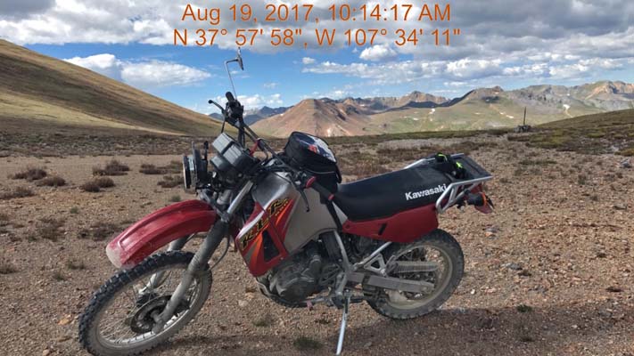
photos by Scott Westfall, 8/19/2017
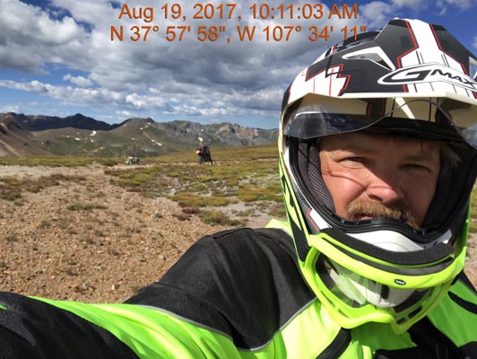
At the summit. |
At the summit, looking south. |
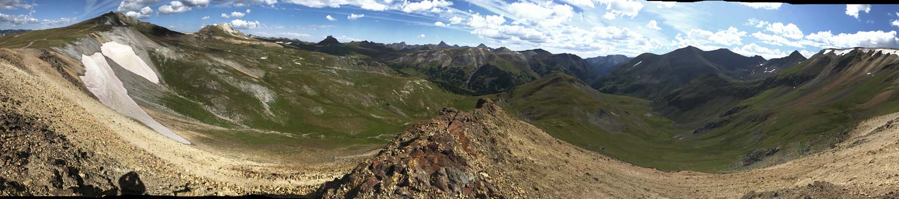
At the summit, looking northeast. |
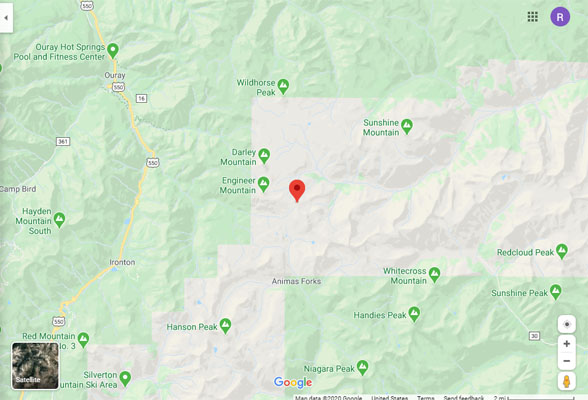
Google Maps |
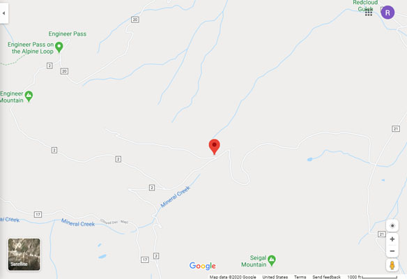
Google Maps |
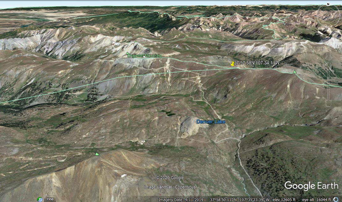
Google Earth, looking northeast. |
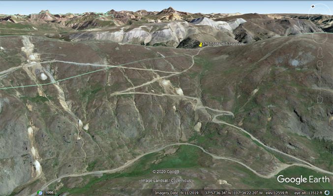
Google Earth |
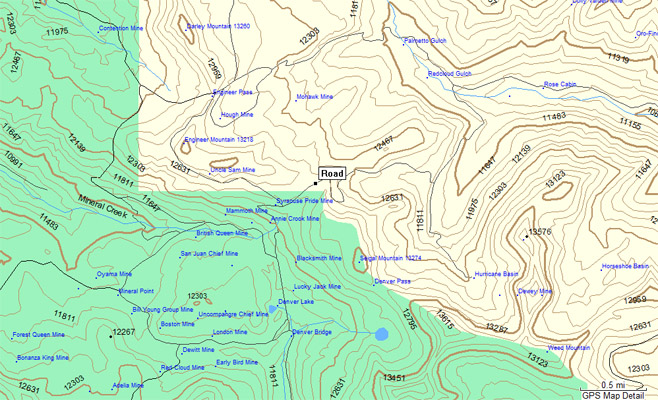
Garmin MapSource |
photos by Chris Wilder
At the summit. |
At the summit. |
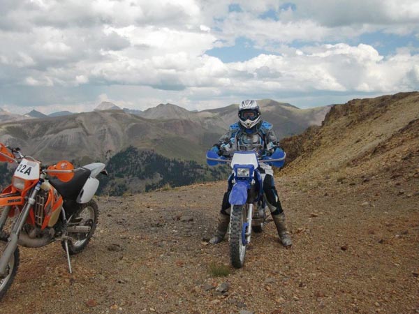
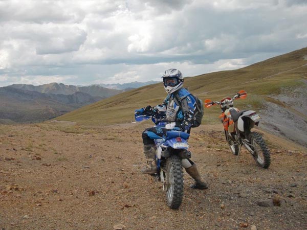
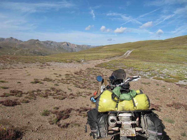
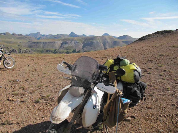
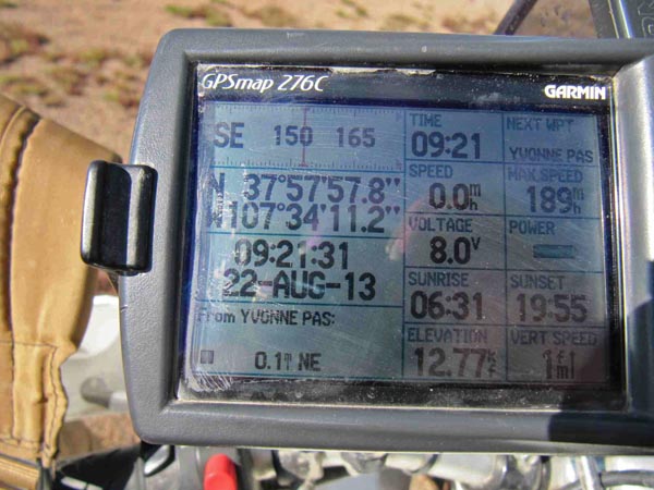
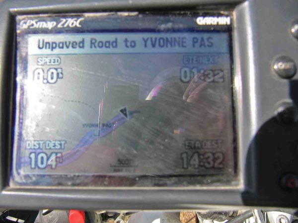
photos by Karst Postma, 8/22/2013
At the summit. |

At the summit. |
At the summit. |
At the summit. |
At the summit. |
Notes from Karst Postma: It is just a short easy 0.4 mile ride from CR-2 (Engineer – Cinnamon Passes road).
Notes from Curtis Kohl: The short out and back ride on the road from the Engineer Pass road (west side of pass)
is fairly easy and very short. A little rocky but shouldn't be a problem on the big bikes if you already got to
this intersection. View from summit is amazing. I rode down the east side of the pass to the first switchback
(maybe 60-70 yards) and that's about as far as you're going to get on the east side. Big road wash out beyond
that point and it hasn't been travelled by any vehicles in many years. Backtrack to the Engineer Pass road.