
Ziegler Divide
|
Ziegler Divide |
Ziegler Divide - Pitkin County - Colorado - 8,935 feet
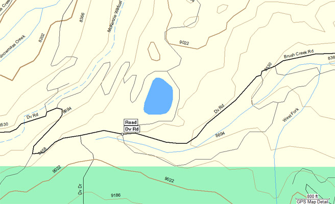
Snowmass Creek to west. Brush Creek to east.
At the intersection of Divide Road (Road-10), Divide Way (Road-11) and Divide Dr near Snowmass Village.
paved - road bike
photos by Curtis Kohl, 7/1/2014
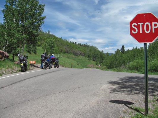
At the summit. |
At the summit. |
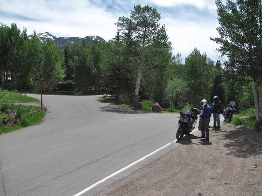
At the summit. |
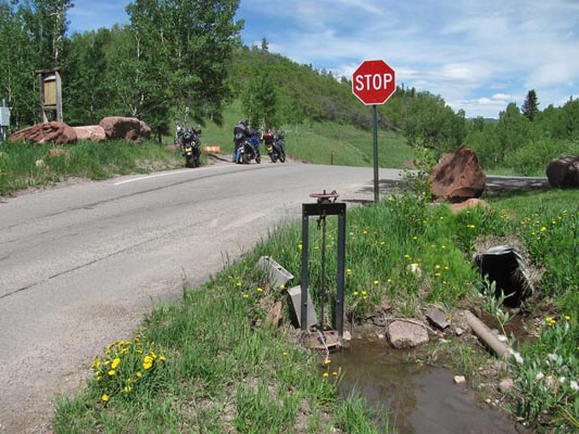
Near the summit. |
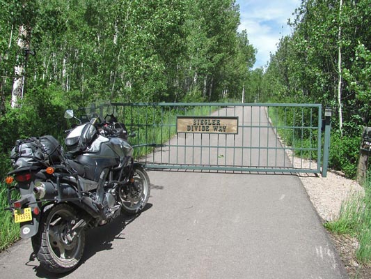
Near the summit. |
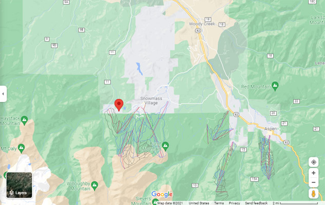
Google Maps |
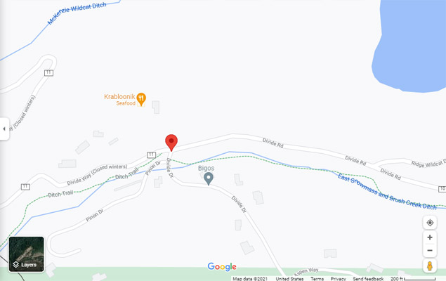
Google Maps |
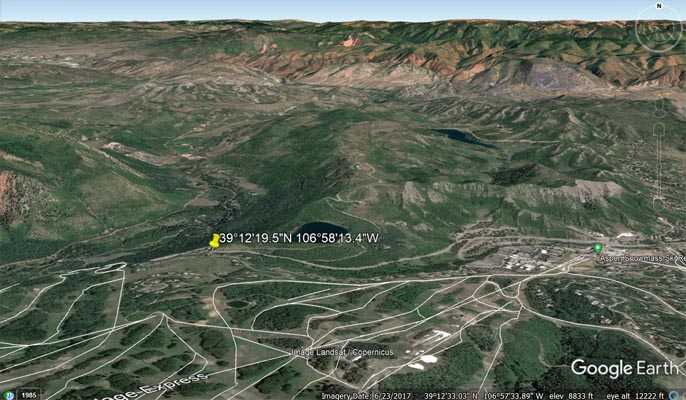
Google Earth |
Google Earth |
Garmin MapSource |
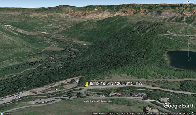
Notes from Curtis: A few weeks ago while planning a trip in the Aspen area to bag Watson Divide (among others),
I stumbled upon a road on the map listed as Ziegler Divide near Snowmass Village. Further research on this seems
to be a divide of Snowmass Creek to the west and Brush Creek to the east on Divide Road and located at
39°12'19.5"N 106°58'13.4"W at 8,935 feet. I haven't been able to find a whole lot of information on this as a
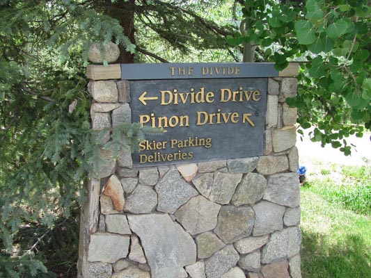
named pass, but there is a road just east of the summit by the name "Ziegler Divide Way" and a street sign on the
summit that states "The Divide". There seems to be a fair amount of history of this area, mainly in a huge
mastodon bone discovery there a few years ago in the lake right above the pass. We rode the area and it definitely
seems to fit the criteria of a pass.
Geologic setting and stratigraphy of the Ziegler Reservoir fossil site, Snowmass Village, Colorado.
The geologic setting of the Ziegler Reservoir fossil site is somewhat unusual — the sediments containing the Pleistocene
fossils were deposited in a lake on top of a ridge. The lake basin was formed near Snowmass Village, Colorado when a glacier
flowing down Snowmass Creek Valley became thick enough to overtop a low point in the eastern valley wall and entered the
head of Brush Creek Valley. When the glacier retreated at about 155–130 ka, near the end of marine oxygen isotope stage (MIS) 6,
the Brush Creek Valley lobe left behind a moraine that impounded a small alpine lake. The lake was initially ~ 10 m deep and
appears to have been highly productive during most of its existence, based on the abundant and exquisitely preserved organic
material present in the sediments. Over time, the basin slowly filled with (mostly) eolian sediment such that by ~ 85 ka it
contained a marsh or wetland rather than a true lake. Open-water conditions returned briefly between ~ 75 and 55 ka before the
impoundment was finally breached to the east, establishing ties with the Brush Creek drainage system and creating an alpine
meadow that persisted until historic times.