
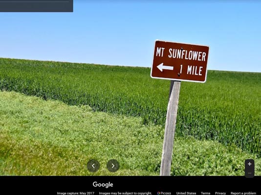
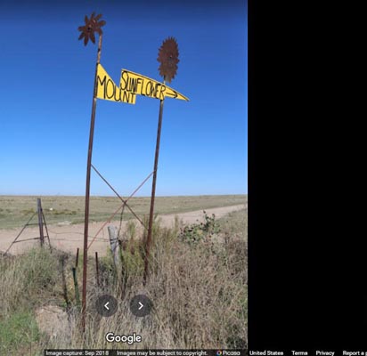
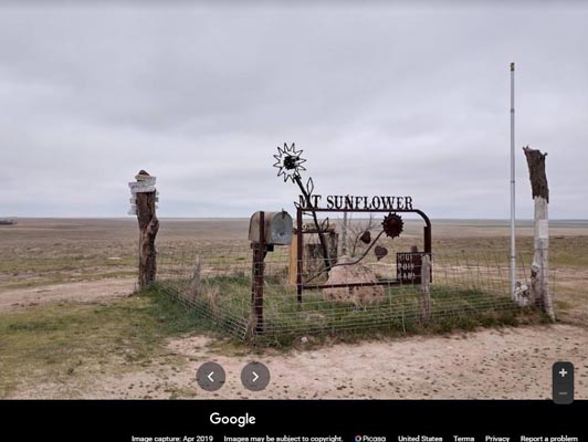
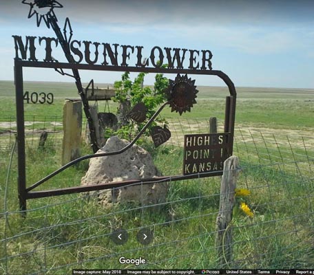
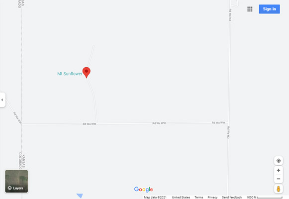
Kansas High Point - Mt Sunflower
|
Kansas High Point - Mt Sunflower |
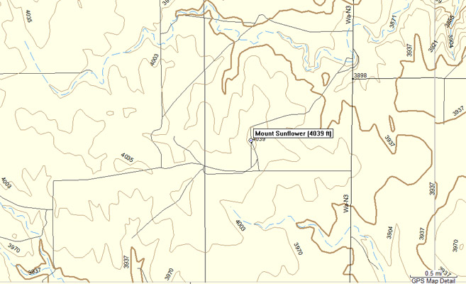
Kansas High Point - Mt Sunflower - Wallace County - Kansas - 4,039 feet
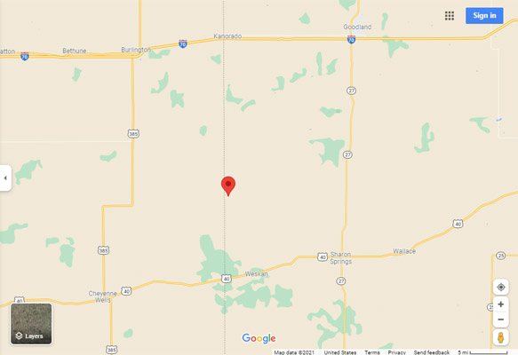
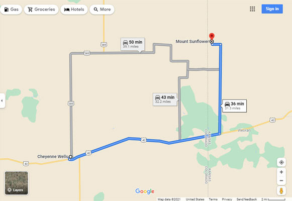
About 31 miles northeast of Cheyenne Wells, CO, via US-40 and roads Wa-N3 and Wa-WW.
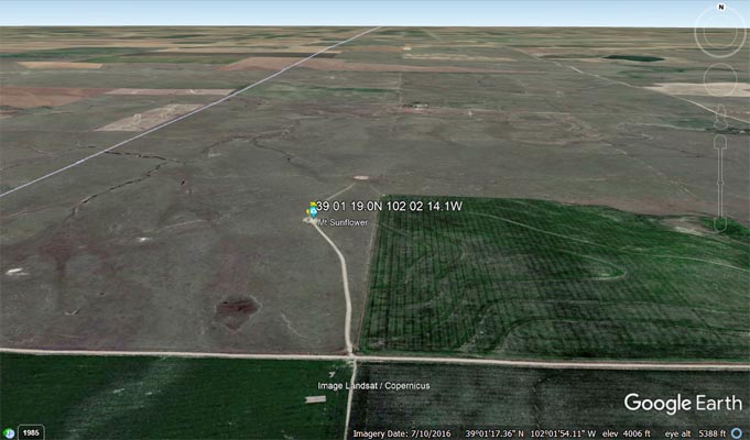
39°01'19.0"N 102°02'14.1"W == 39.021944N 102.037250W
gravel - dual sport
photos from Google Maps
Google Maps |
Google Maps |
Google Maps |
Google Maps |
Google Maps |
Google Maps |
Google Maps |
Google Maps |
Google Maps |
Google Maps |
Google Earth |
Google Earth |
Google Earth |
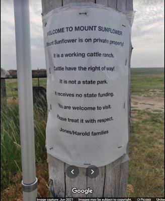
Note: Welcome to Mount Sunflower which is on private property. It is a working cattle ranch. Cattle have
the right of way. It is not a state park. It receives no state funding. You are welcome to visit. Please
treat it with respect. Jones/Harold families.
From kansastravel.org:
Mount Sunflower, although not a true mountain, is the highest natural point in the U.S. state of Kansas.
At 4,039 feet (1,231 m), it is 3,300 feet (1,010 m) above the state's topographic low point, which lies
on the opposite side of the state. Located in Wallace County, it is less than half a mile (0.8 km) from
the state border with Colorado and is close to the lowest point in Colorado.
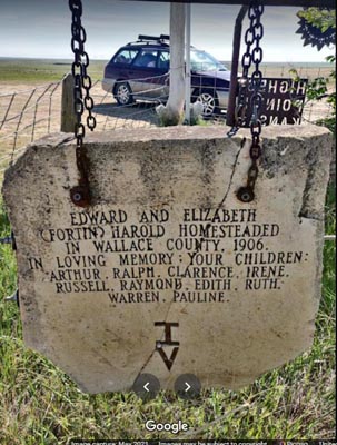
Mount Sunflower is located on private land owned by Ed and Cindy Harold, who encourage visitors to the site.
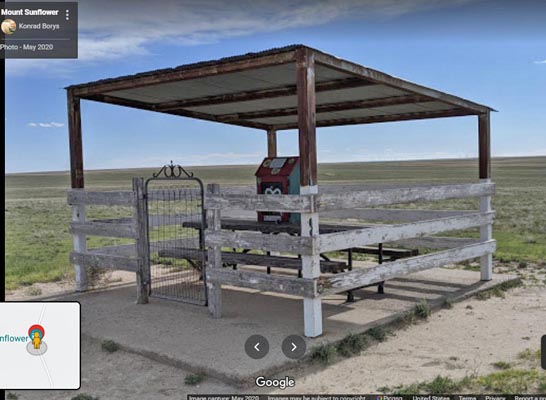
Amenities include a picnic table, a little free library, a sunflower sculpture made from railroad spikes, and
a plaque on the site stating, "On this site in 1897, nothing happened." (As of 2015, however, this sign is
missing, evidently stolen.) Additionally, there is a mailbox on site with a registration book inside where
visitors can write their names, where they are from, and how many members are in their party.
Access is via county dirt roads to the edge of the property, then across a cattle guard and onto a private dirt
road through a cattle grazing pasture to the summit.