
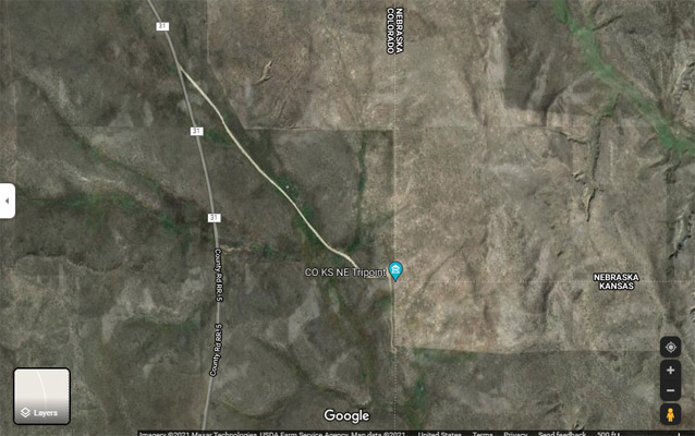
CO-KS-NE Tripoint
|
CO-KS-NE Tripoint |
Tripoint of Colorado, Kansas, and Nebraska
Eastern border of Colorado - Yuma County - Colorado - 3,433 feet
Northwest corner of Kansas - Cheyenne County - Kansas
Southwest corner of Nebraska - Dundy County - Nebraska
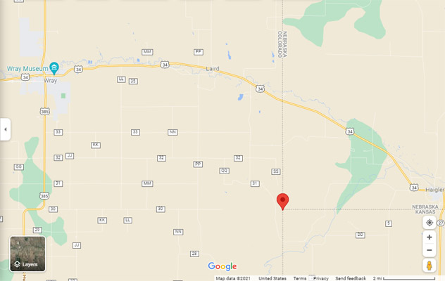
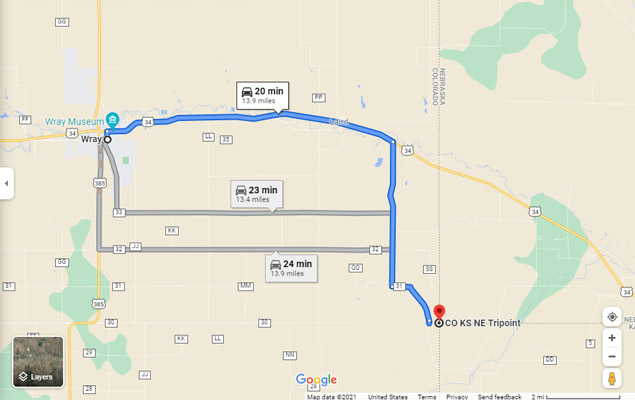
About 14 miles southeast of Wray CO, via US-34, CR-31/CR-RR.5, then southeast on farm lane.
40°00'11.1"N 102°03'06.3"W == 40.003083N 102.051750W
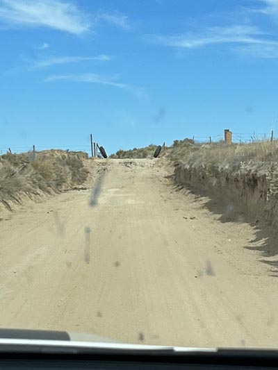
gravel, dirt - dual sport
photos by Rick and Shari Harvey, 10/21/2022
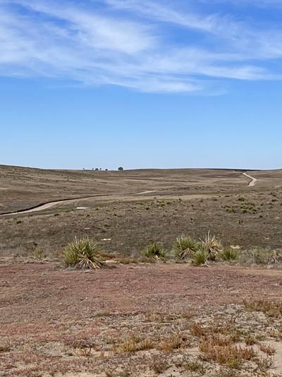
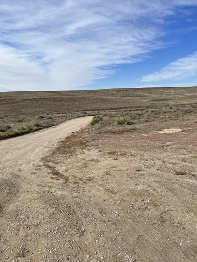
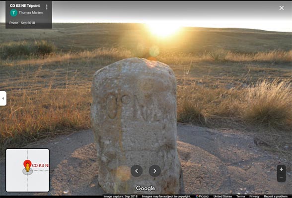
Looking southeast toward tripoint. |
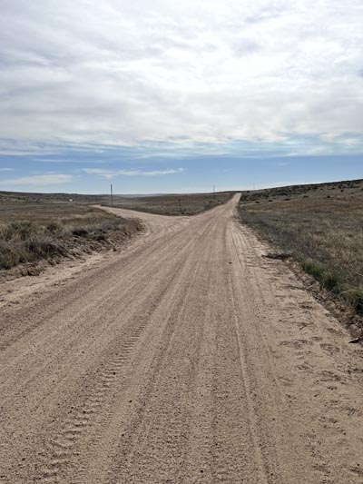
8.4 miles south of US-34, bear left at Y. |
If you bear right at Y. |

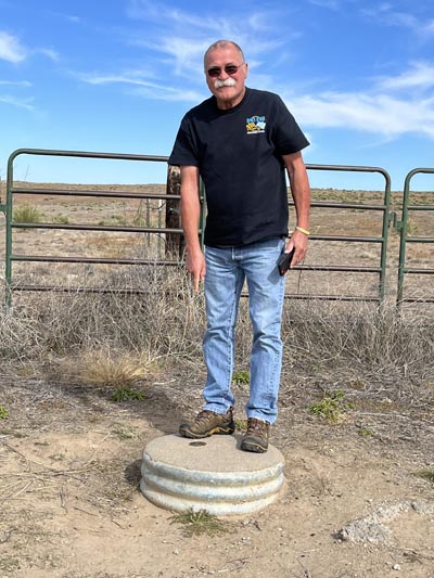
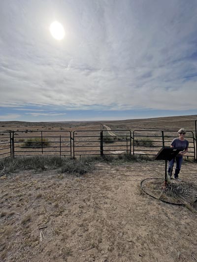
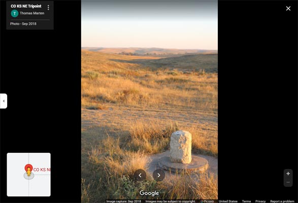
At the tripoint. Colorado survey disk is in front of fence. |
On the tripoint survey disk. |

The COLORADO-NEBRASKA-KANSAS-1990 survey disk. |

The tripoint plaque. |

The tripoint plaque. |

Looking west toward the Colorado survey disk. |

The 45.2 FEET EAST BDY COLORADO 1990 survey disk. |
Looking south toward the Kansas survey disk. |
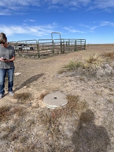
At the Kansas survey disk, looking north. |
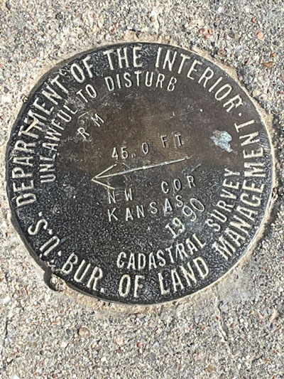
The 45.0 FEET NW COR KANSAS 1990 survey disk. |

At the Nebraska survey disk, looking south. |
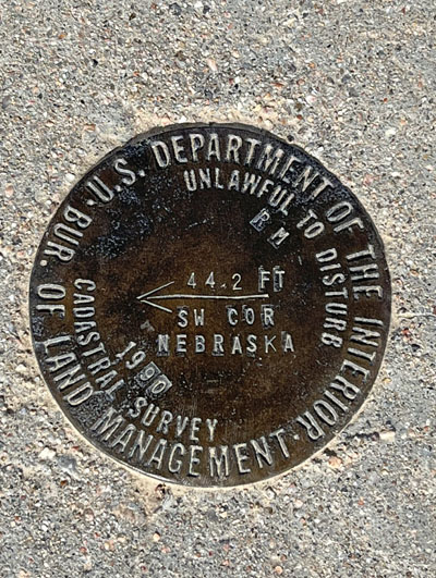
The 44.2 FEET SW COR NEBRASKA 1990 survey disk. |
Looking back to the northwest. |

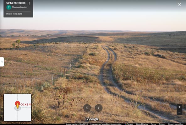
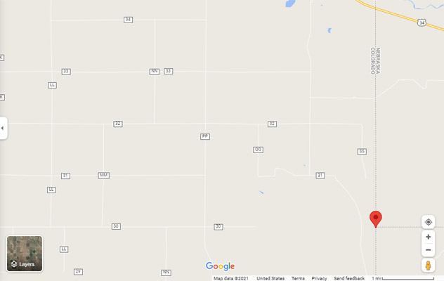
The route. |
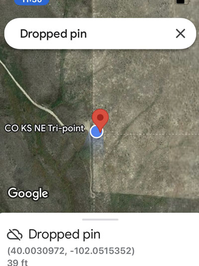
The dropped pin at 40.0030972N 102.0515352W. |
photos from Google Maps
Road to marker to the south. |
Marker to the south. |
Marker to the south. |

Marker to the south. |
Marker to the south. NW CORNER KANSAS 1933 |
Google Maps |
Google Maps |
Google Maps |
Google Maps |
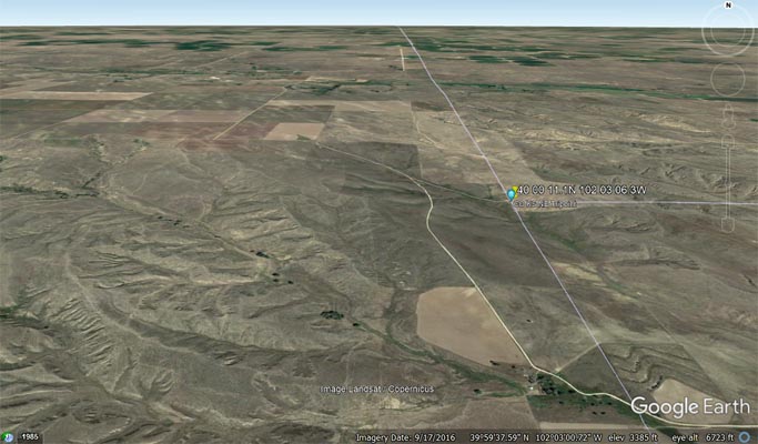
Google Earth |

Google Earth |

Garmin MapSource |
On the tripoint survey disk:
U.S. Department of the Interior, Bur. of Land Management
Unlawful to disturb. Cadastral Survey.
Colorado Nebraska Kansas (tripoint symbol) 1990
On the tripoint plaque:
The corner common to Nebraska and Kansas on the Colorado line.
The survey of the base line of the 6th principle meridian, which also marks the boundary between
Nebraska and Kansas, was extended from the Alma, Nebraska area to the summit of the Rocky
Mountains by Jarret Todd and James Withrow in 1859.
In 1869 Oliver N. Caffee surveyed the western boundary of Nebraska, and failing to locate the baseline,
set the limestone monument 621.7 feet south of this position.
In 1872 John J. Majors surveyed the boundary between Kansas and Colorado, commencing at Chaffee's monument.
On June 15, 1873 Edwin Burwell intersected the baseline with Chaffee's state line and established the corner
of Nebraska and Kansas on the Colorado line.
On October 17, 1990 the Bureau of Land Management re-monumented this tri-state corner.
In recognition of those early surveyors, the skills they demonstrated and the hardships they
endured, we dedicate this plaque on June 1, 1991.
On the survey disk on the west side of the tripoint.
U.S. Department of the Interior, Bur. of Land Management
Unlawful to disturb. Cadastral Survey.
45.2 FT (arrow) COLORADO 1990
On the survey disk on the southeast side of the tripoint.
U.S. Department of the Interior, Bur. of Land Management
Unlawful to disturb. Cadastral Survey.
45.0 FT (arrow) NW COR KANSAS 1990
On the survey disk on the northeast side of the tripoint.
U.S. Department of the Interior, Bur. of Land Management
Unlawful to disturb. Cadastral Survey.
44.2 FT (arrow) SW COR NEBRASKA 1990
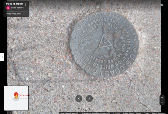
On another survey disk:
U.S. Coast & Geodetic Survey. Triangulation station.
For information write to the Director, Washington, D.C.
$250 fine or imprisonment for disturbing this mark.
N.W. corner Kansas. 1933