
Colorado's Southeast Corner - CO-KS-OK Tripoint
|
Colorado's Southeast Corner - CO-KS-OK Tripoint |
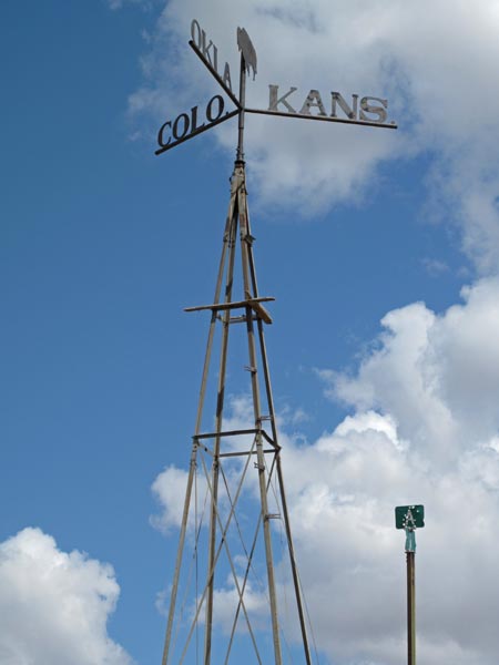
Tri-point of Colorado, Kansas and Oklahoma
Southeast corner of Colorado - Baca County - Colorado - 3,695 feet
Southwest corner of Kansas - Morton County - Kansas
Northern Border of Oklahoma - Cimarron County - Oklahoma
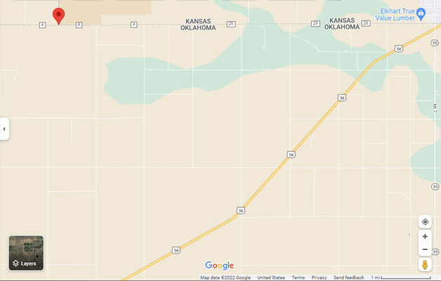
36°59'34.9"N 102°02'31.5"W == 36.993028N 102.042083W
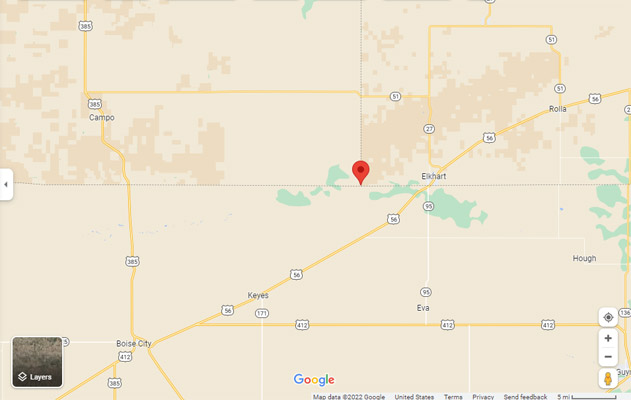
About 33.5 miles northeast of Boise City, OK, via US-56, N0550 Rd (Mi 0), and A Rd.
About 7.5 miles west of Elkhart, KS, via A Rd (29 Rd, E0010 Rd).
paved, gravel - dual sport or street bike
photos by John Coker, 05/14/2014
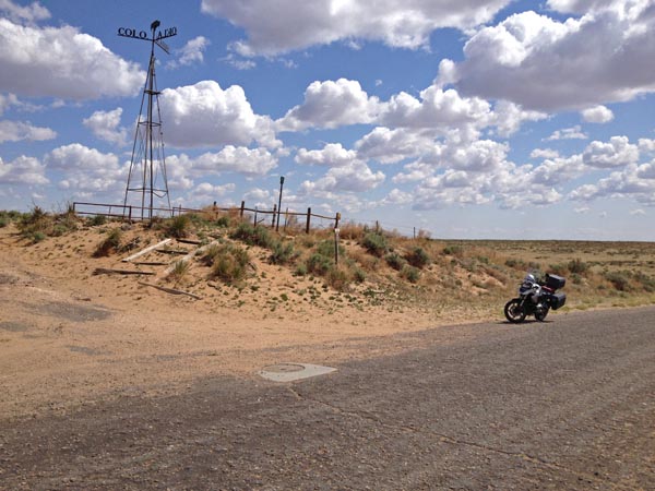
At the corner. |
At the corner. |
Google Maps |
Google Maps |
Google Maps |
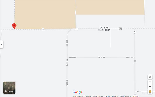
Google Maps |
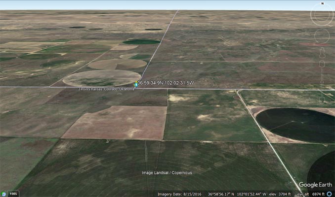
Google Earth |
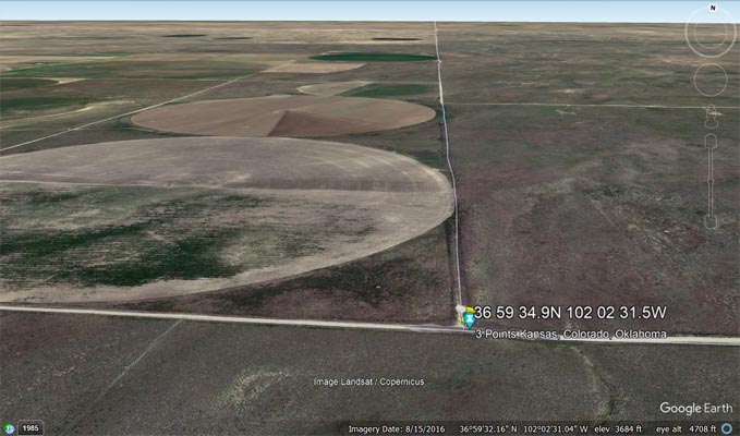
Google Earth |
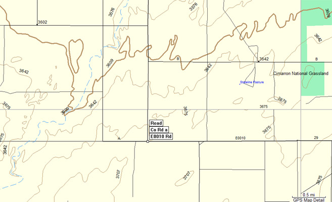
Garmin MapSource |
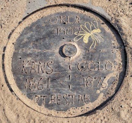
On the survey disk:
OKLA 1907
KANS 1861 (tripoint symbol) COLO 1876
PT RES,TAB