
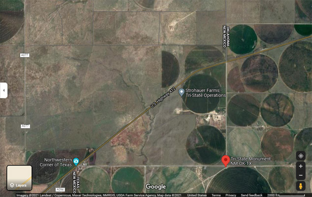
NM-OK-TX Tripoint
|
NM-OK-TX Tripoint |
Tripoint of New Mexico, Oklahoma, and Texas
Eastern border of New Mexico - Union County - New, Mexico - 4,711 feet
Southern border of Oklahoma Panhandle - Cimarron County - Oklahoma
Northern border of Texas - Dallam County - Texas
East of Clayton NM, about 2.2 miles west of US-56/US-64/US-412 on Texas State Line Rd.
East of Clayton NM, about 1.5 miles south of US-56/US-64/US-412 on NS 1 Rd (Feeder Rd, Oklahoma state line).
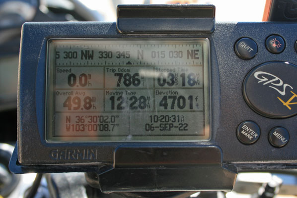
36°30'01.7"N 103°00'08.6"W == 36.500457N 103.002396W
gravel - dual sport
photos by Randy Bishop and Rick Harvey, 9/6/2022
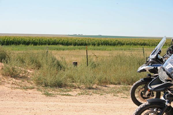
At the tripoint, looking south. |
At the tripoint, looking west. |

At the tripoint, looking north. |

At the tripoint, looking east. |

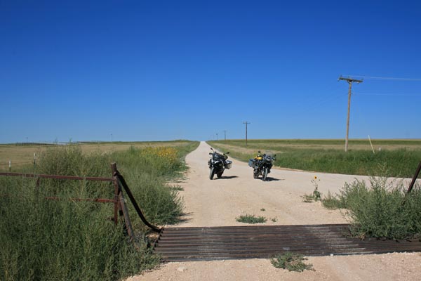
At the tripoint, looking north. |
At the tripoint, looking west. |
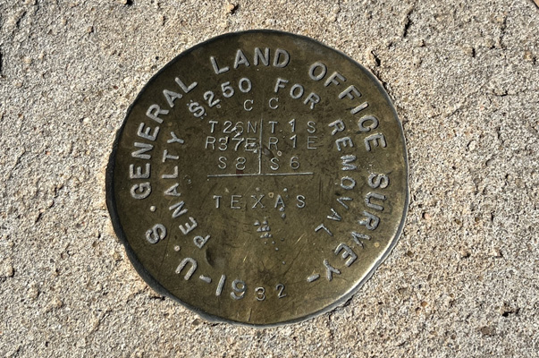
The Department of the Interior survey disk. |
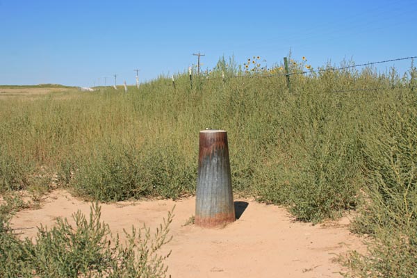
At the tripoint. |
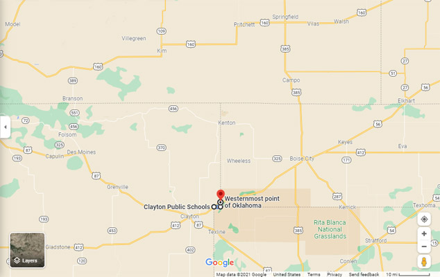
Google Maps |
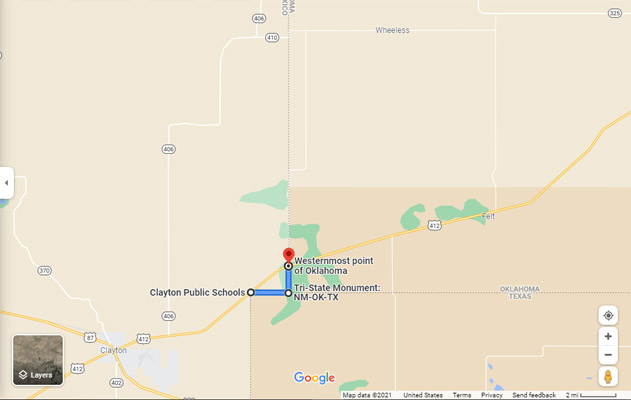
Google Maps |
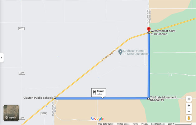
Google Maps |
Google Maps |
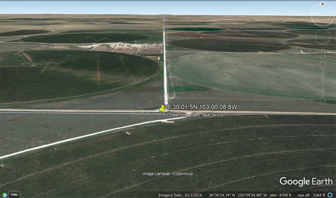
Google Earth |

Google Earth |

Garmin MapSource |
On the tripoint survey disk:
U.S. General Land Office Survey, 1932
Penalty $250 for removal.
T.26N R375 S2, T1S R1E S6 (tripoint symbol) Texas